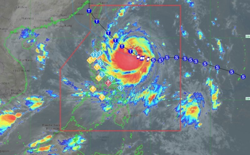
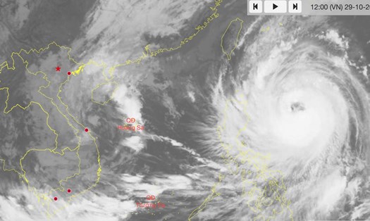
According to the latest weather forecast from the Philippine Atmospheric, Geophysical and Astronomical Services Administration (PAGASA), as of 5:00 a.m. on October 30, the center of storm Kong-rey was estimated to be at approximately 18.9 degrees North latitude - 125.2 degrees East longitude, 395 km east of Calayan, Cagayan, Philippines.
The storm is moving west-northwest at 15 km/h. The strongest wind near the storm's center is maintained at 165 km/h, with gusts of up to 205 km/h.
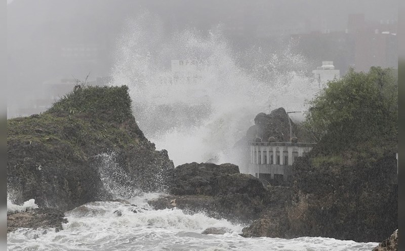
PAGASA said Kong-rey will be closest to Batanes early tomorrow morning (October 31). At this time, the storm is expected to reach or near super typhoon strength. The possibility of the storm making landfall in Batanes cannot be ruled out.
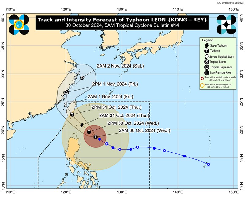
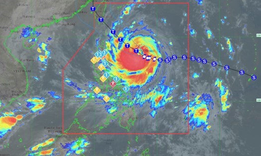
Typhoon Kong-rey is expected to move northwest through the Philippine Sea until making landfall on the east coast of Taiwan (China) tomorrow afternoon (October 31).
After crossing mainland Taiwan (China), Typhoon Kong-rey will turn north-northwest to northeast through the Taiwan Strait (China), heading to the East China Sea and exiting the Philippine Area of Responsibility (PAR) tomorrow evening (October 31) or early morning of November 1.
It is not impossible that the typhoon will make landfall in mainland China during this time.
With the complicated storm situation, people and tourists traveling to the Philippines and Taiwan (China) during this time should pay attention to weather forecasts and flight schedule announcements to have appropriate plans and ensure safety.

