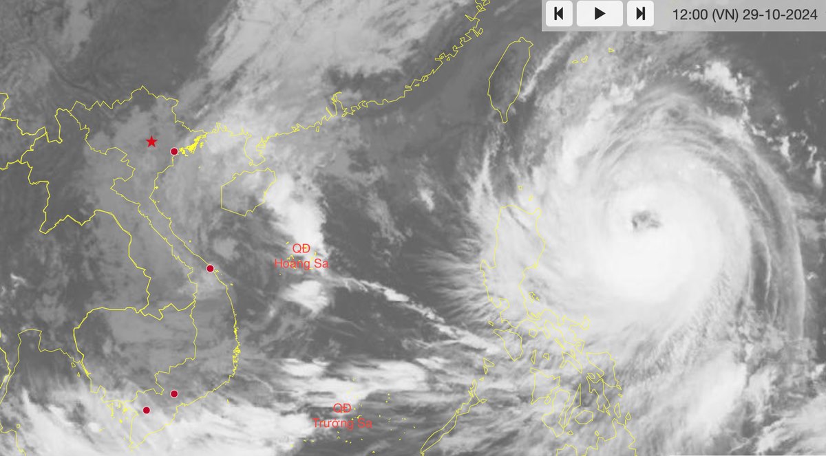
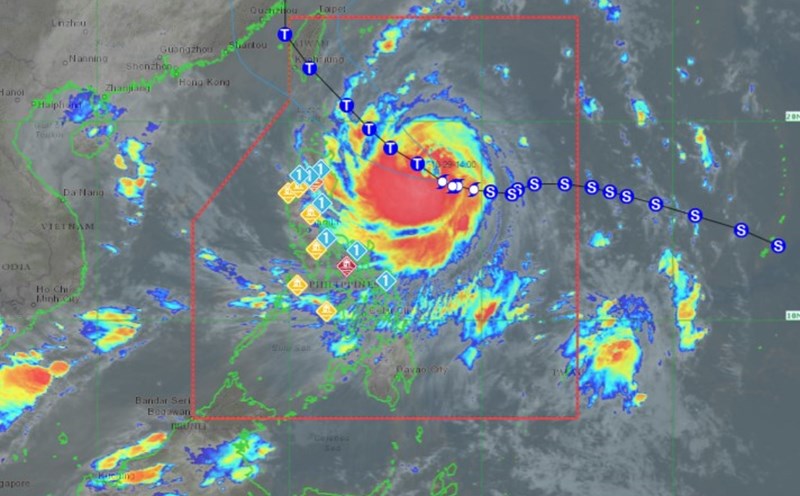
According to the Philippine Atmospheric, Geophysical and Astronomical Services Administration (PAGASA), as of 11:00 a.m. on October 29, the center of typhoon Kong-rey was located at about 17.3 degrees North latitude, 127.8 degrees East longitude, about 565 km northeast of Catanduanes Island, Philippines.
The storm is moving west-northwest at 10km/h towards the sea south of Taiwan (China). The strongest wind near the storm's center is maintained at 130km/h, with gusts of up to 160km/h.

According to the forecast of the Japan Meteorological Agency (JMA), at 12 noon on October 29 (local time), storm Kong-rey was at about 17.6 degrees North latitude - 126.9 degrees East longitude, the strongest wind near the storm center was 40m/s (level 13), gusting to 55m/s (level 16).
The storm continues to increase in intensity, possibly reaching level 15 (50m/s), gusting over level 17 (70m/s). After that, the storm is likely to make landfall in Taiwan (China) and gradually weaken.
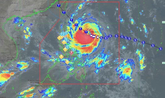
PAGASA forecasts that typhoon Kong-rey is likely to strengthen to level 15 (175km/h) before making landfall in Taiwan (China) from the afternoon of October 31. It is possible that the typhoon will move further west and make landfall in the islands of Batanes province (Philippines) before entering Taiwan (China).
With the complicated storm situation, tourists who want to travel to the Philippines and Taiwan (China) during this time should pay attention to weather forecasts and monitor flight schedules to be proactive in their travel and ensure safety.


