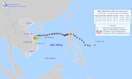
Strong Tropical Storm Kong-rey has increasing maximum winds on October 28.
The storm's wind gusts have now reached 125 km/h - up from 115 km/h earlier, the Philippine Atmospheric, Geophysical and Astronomical Services Administration (PAGASA) said in a press briefing after 5 p.m. on October 28.
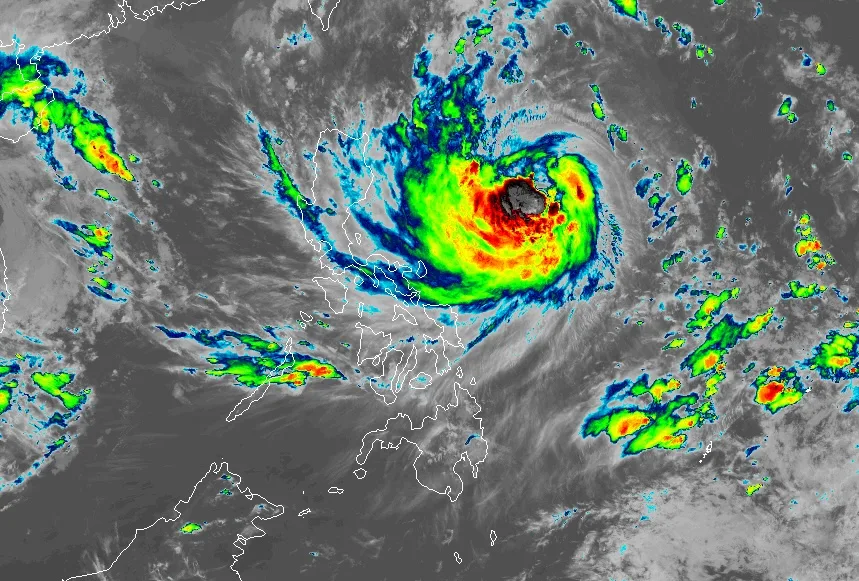
PAGASA stressed that the storm could rapidly intensify “during its movement across the Philippine Sea.”
Kong-rey is expected to become a typhoon early on October 29.
“Furthermore, there is an increasing possibility that Leon will attain super typhoon strength during its closest approach to Batanes,” the Philippine weather agency added.
Kong-rey could strengthen into a super typhoon by Thursday, October 31.
Super typhoons have maximum sustained winds of 185 km/h or more. The winds can cause terrible effects when the storm makes landfall.
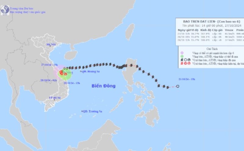
Typhoon Kong-rey was last spotted about 725 kilometers east of the Philippine coastal province of Isabela at 4 p.m. on October 28. The storm has slowed slightly, moving west-northwest at 15 kilometers per hour from 20 kilometers per hour.
There is still an “increasing chance” that the storm will move further west, so PAGASA is not ruling out the possibility of making landfall in Batanes or approaching the province.
According to the forecast model of the Taiwan Meteorological Administration (CWA), Tropical Storm Kong-rey is likely to become a typhoon in the early morning of October 29 and make landfall in Taichung City around the night of October 31 or early morning of November 1. The storm will bring heavy rain to the north, east and south of Taiwan (China).
However, the CWA noted that Kong-rey may not make landfall as there are still changes in the forecast after October 31.
The storm could turn north off the northeastern coast of Taiwan (China) or move through the Bashi Channel between Taiwan (China) and the Philippines.

Whether or not Kong-rey makes landfall, the CWA forecasts it will bring rain to eastern Taiwan, high waves and strong winds to coastal areas.
The storm was named Kong-rey - after a girl in a Khmer legend passed down from Cambodia. In the Philippines, the storm is known as Leon.
Residents and tourists in the above areas are advised to regularly monitor weather forecasts, comply with recommendations from authorities and update announcements from airlines, railways, ships... to be proactive about their schedules and ensure safety.

