According to the latest storm information from the National Center for Hydro-Meteorological Forecasting, at 7:00 a.m. on December 24, the center of storm No. 10 is currently located at approximately 11.4 degrees North latitude and 111.7 degrees East longitude, in the southwest sea area of the central East Sea.
The strongest wind near the storm center reaches level 8 (equivalent to 62-74 km/h), with gusts up to level 10.
The storm is currently moving in a West Southwest direction at a speed of about 5-10 km/h.
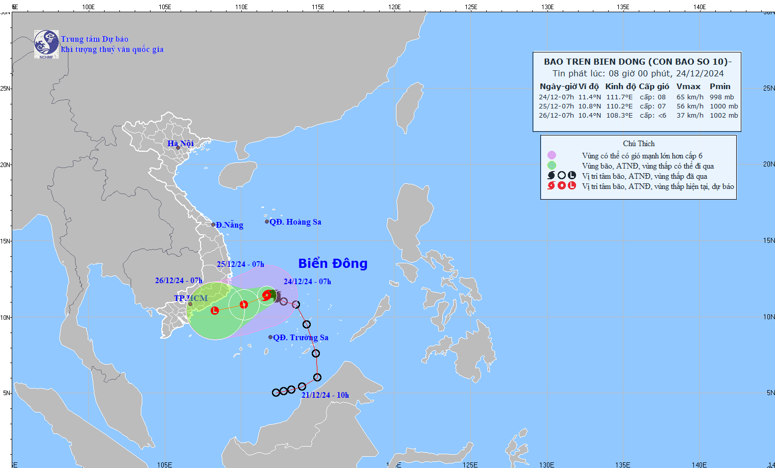
It is forecasted that in the next 24 to 48 hours, at 7:00 a.m. on December 25, the storm will continue to move in the West-Southwest direction at a speed of 5-10 km/h and gradually weaken into a tropical depression, expected to be located at about 10.8 degrees North latitude; 110.2 degrees East longitude, on the sea from Khanh Hoa to Binh Thuan with the intensity decreasing to level 6-7 and gusting to level 9.
The danger zone will extend from coordinates 9.5 degrees North Latitude - 13.5 degrees North Latitude and 110.0 degrees East Longitude -114.0 degrees East Longitude.
The disaster risk level in this area is assessed at level 3.
By the morning of December 26, the storm will continue to move in a West-Southwest direction at a speed of about 10 km/h and weaken into a low pressure area, expected to be located at about 10.4 degrees North latitude; 108.3 degrees East longitude, on the sea from Ninh Thuan to Ba Ria - Vung Tau with an intensity below level 6.
Regarding the impact of the storm, there will be strong winds and big waves at sea.
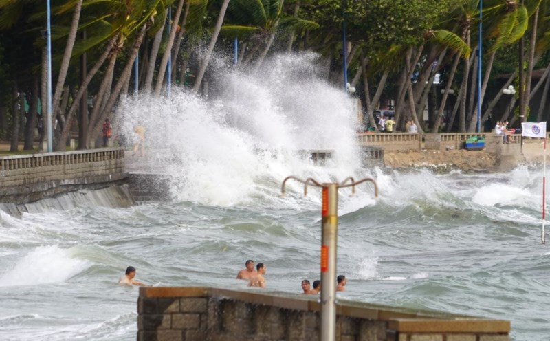
Specifically, the southwestern sea area between the East Sea and the northwestern sea area of the South East Sea will have strong winds of level 6-7, while the area near the storm's center will have strong winds of level 8 and gusts of level 10 with waves from 4.0 to 6.0 meters high, causing rough seas.
In the area from Khanh Hoa to Binh Thuan (including Phu Quy island), strong winds reach level 6, sometimes level 7 and gusts of level 8-9 with waves from 3.0 to 6.0 meters high.
Please note that vessels operating in these danger zones will face a high risk of storms, strong winds and large waves.
The meteorological agency recommends that people closely monitor the storm's developments to take timely response measures to ensure their safety and property in the coming days.
For tourists planning to visit the South Central Coast and Southeast regions in the coming days, they should regularly update weather information to adjust their travel plans and prepare appropriate equipment.
Consider canceling or postponing island tours and water sports activities.
Bring a raincoat, umbrella and comfortable shoes to avoid slipping when it rains. Do not ignore weather warnings to ensure the safest and most complete travel experience.

