According to the National Center for Hydro-Meteorological Forecasting at 4:00 a.m. on September 5, the center of the storm was located at about 19.1 degrees North latitude; 116.0 degrees East longitude, in the northern sea area of the North East Sea, about 550km east of Hainan Island (China).
The strongest wind near the storm center is level 15 (167-183 km/h), gusting to level 17, moving west at a speed of about 10 km/h. In the past 24 hours, the intensity of storm No. 3 has increased 4 levels from level 11 to level 15. Storm No. 3 is forecast to continue to increase in intensity and is likely to reach its peak intensity around the afternoon of September 6.
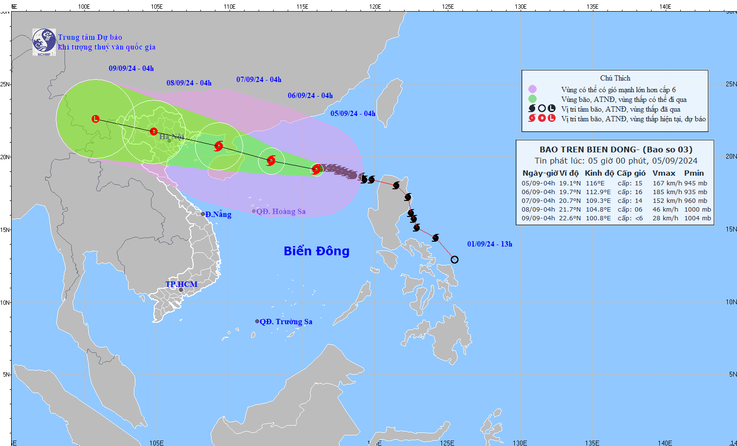
It is forecasted that in the next 24 hours, storm No. 3 will move in the West-Northwest direction at a speed of 10-15km/h and the storm is likely to strengthen into a super typhoon, about 210km east of Hainan Island (China).
By 4am on September 7, the storm was moving slower at a speed of 15-20km/h and was showing signs of weakening. The storm was moving west-northwest, passing through the southern part of the Leizhou Peninsula (China) and then entering the Gulf of Tonkin. The storm's intensity was likely to weaken due to friction with the mainland.
Then, storm No. 3 moved deep into the Northwest mainland and gradually weakened into a tropical depression, then a low pressure area. It is forecasted that in the next 72 to 96 hours, the tropical depression will move mainly in the West Northwest direction, traveling 15-20km per hour and weaken into a low pressure area.
The North East Sea has strong winds of level 11-13, near the eye of the storm level 14-16, gusting to level 17; rough seas. From the night of September 6, the Gulf of Tonkin has strong winds of level 10-12, near the eye of the storm level 13-14, gusting to level 17; rough seas.
Storm No. 3 Yagi is forecast to make landfall around the evening of September 7. Five provinces and cities including Quang Ninh, Hai Phong, Thai Binh, Nam Dinh, and Ninh Binh will be most affected by storm No. 3.
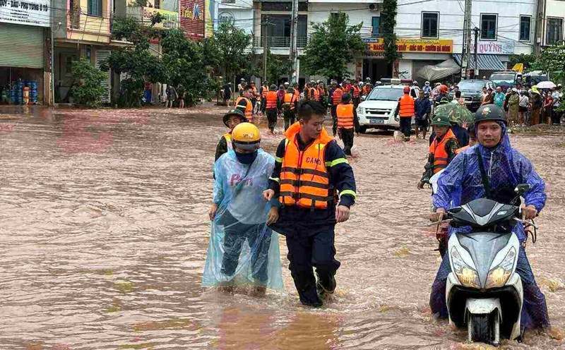
From September 7-9, in the North and North Central regions, there is a possibility of widespread heavy rain, causing flooding in most mountainous and midland provinces in the North.
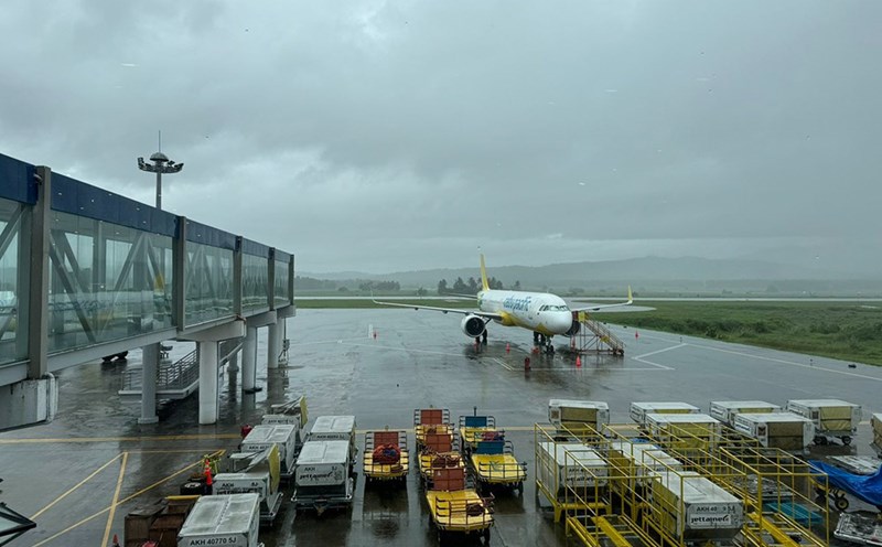
Given the complicated developments of typhoon Yagi, residents and tourists need to pay attention to updates on the storm situation, affected areas and prepare preventive measures right now.