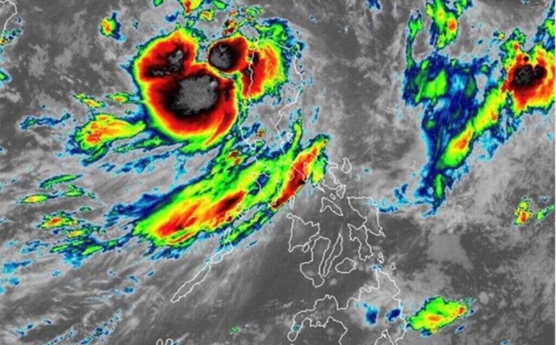
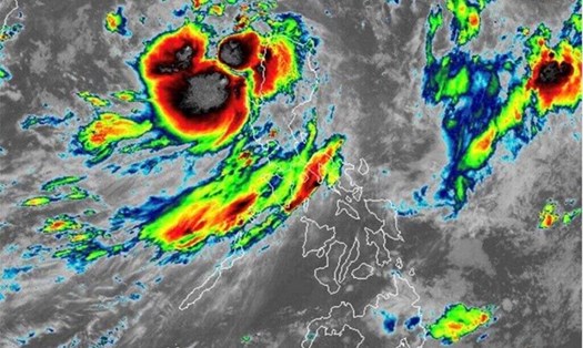
According to the latest forecast from the National Center for Hydro-Meteorological Forecasting, storm Yagi (No. 3) is entering the North East Sea and is likely to strengthen into a super typhoon in the coming days.
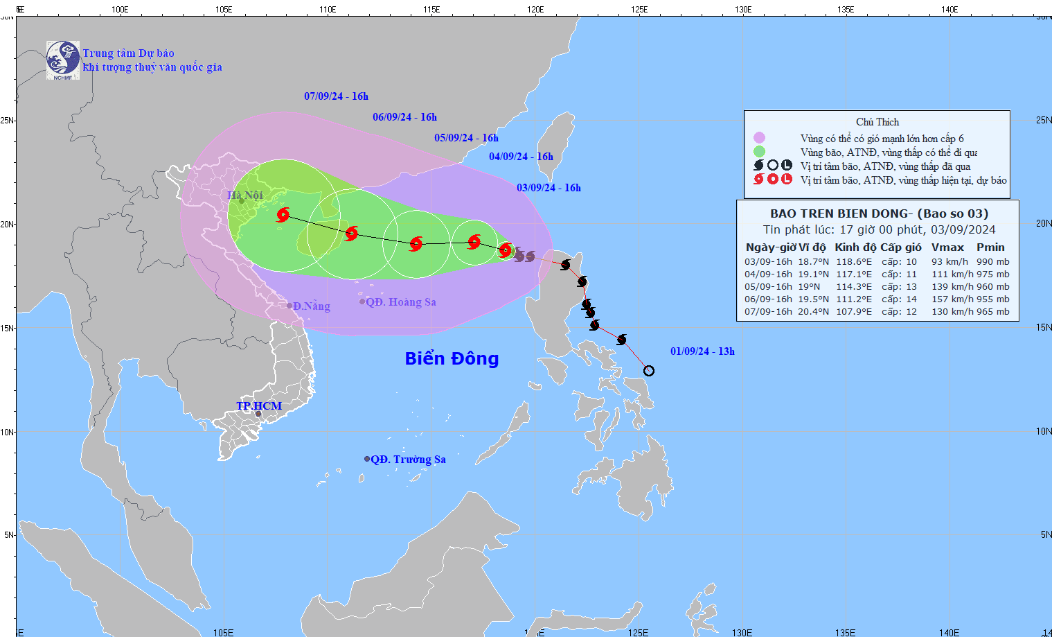
At 4:00 p.m. on September 3, the center of storm Yagi was determined to be at about 18.7 degrees North latitude and 118.6 degrees East longitude, in the eastern sea of the North East Sea.
The strongest wind near the storm center is level 10 (89-102 km/h), gusting to level 12. The storm is moving in a West - Northwest direction at a speed of about 15 km/h.
In the next 24 hours, storm Yagi is forecast to move in a West-Northwest direction at a speed of about 10km/hour and is likely to strengthen.
At 4 p.m. on September 4, the storm's eye is expected to be at approximately 19.1 degrees North latitude and 117.1 degrees East longitude, approximately 700 km east of Hainan Island (China). The strongest winds near the storm's eye could increase to level 11, gusting to level 13.
In the next 24 to 72 hours, the storm will continue to move west and west-northwest at a speed of 10-15km/hour. At 4pm on September 5, the storm will be at 19.0 degrees North latitude - 114.3 degrees East longitude, about 390km east of Hainan Island (China). The intensity can reach level 13, gusting to level 16.
By 4 p.m. on September 6, the storm will be at 19.5 degrees North latitude - 111.2 degrees East longitude, in the sea east of Hainan Island (China). The storm's intensity can reach level 14, gusting to level 17 on the extended Beaufort scale.
From the next 72 to 120 hours, the storm continued to move mainly in the West Northwest direction, traveling 10-15km per hour, with little change in intensity, then gradually decreasing.
The eastern sea of the North East Sea has strong winds of level 8-9, the area near the storm's eye has winds of level 10-11, gusting to level 13; the sea is very rough.
From the night of September 4-6, storm No. 3 may reach very strong storm level in the northern sea area of the North East Sea, with strong winds reaching level 14, gusting to level 17 near the storm's center.
In the next 24 hours, the eastern sea of the North East Sea, the waves are 2-4m high, the area near the storm center is 3-5m.
From the night of September 4-6, waves may gradually increase to 7-9m. The sea will be rough.
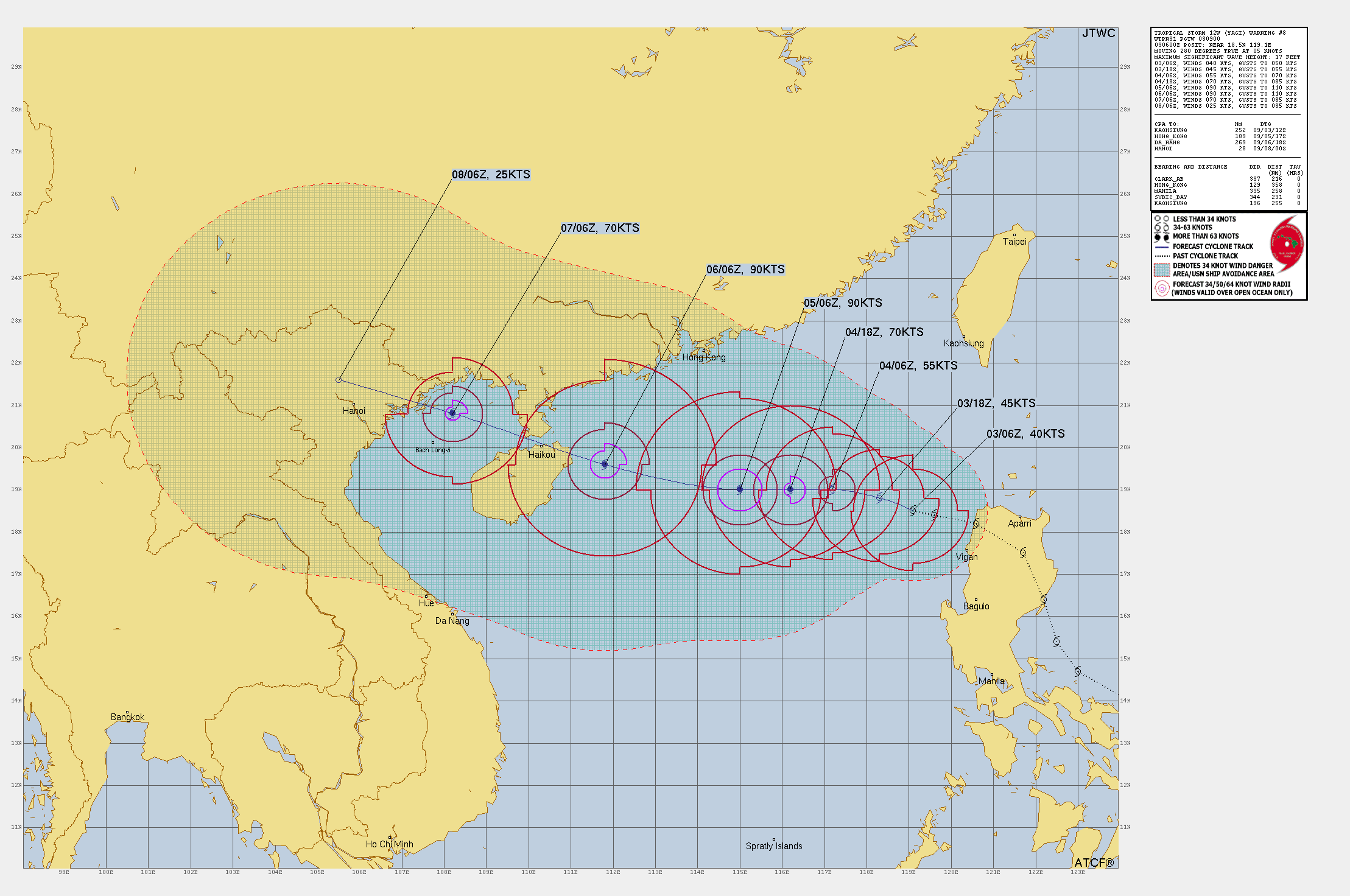
Meanwhile, according to the latest warning graphics from the Joint Typhoon Warning Center (JTWC) of the US Air Force and Navy, the area affected by Typhoon Yagi has changed after entering Vietnam. The storm not only affects the weather in the coastal area of Quang Ninh but also extends its influence to the entire North. The end point of the strongly affected area is located in the border area between Thai Nguyen and Tuyen Quang.
Specifically, on the evening of September 8, the storm is forecast to affect this area with winds gusting to level 6 on the Beaufort scale.
The capital Hanoi was also affected as it was located close to the storm's path.
The area likely to be affected by Typhoon Yagi extends to neighboring localities, covering the entire North to Thua Thien - Hue. The area from Da Nang onwards is outside the direct impact of the storm.
Given the unpredictable weather, residents and tourists need to closely monitor storm updates from authorities.
If you are planning to travel to the coastal provinces of Central and Northern Vietnam next week, consider adjusting your itinerary. Avoid activities on the sea and beaches during the storm.
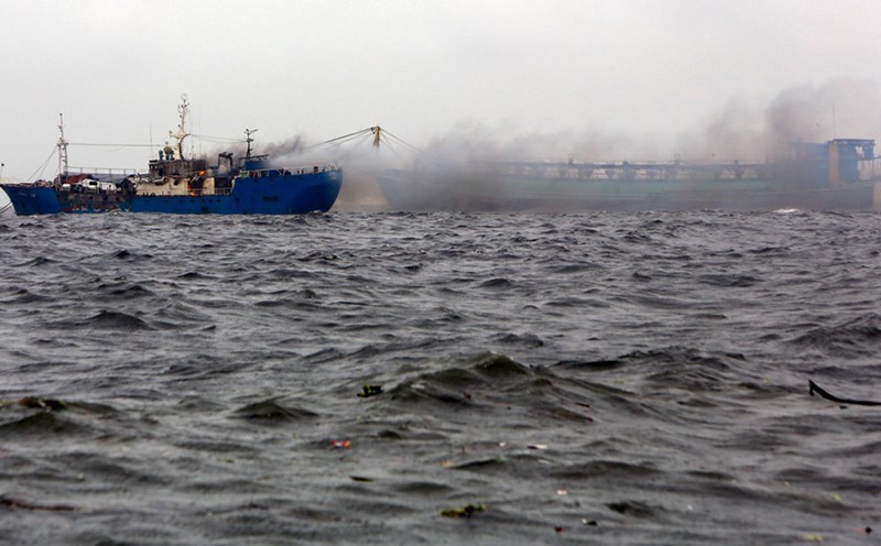
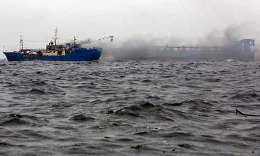
Pay special attention to warnings of strong winds and large waves. Vessels operating in the danger zones are likely to be severely affected.
Follow all instructions and warnings from local authorities. Residents and visitors need to be extremely vigilant and proactive in taking precautions to ensure safety in the face of the complex developments of this storm.