According to the latest forecast, storm Yagi will enter the East Sea this afternoon and tonight (September 3), with the possibility of wind gusts up to level 12.
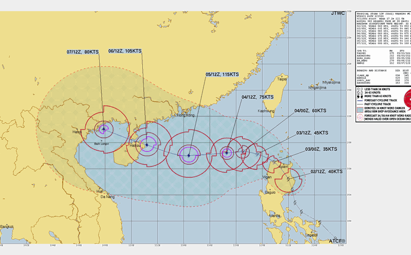
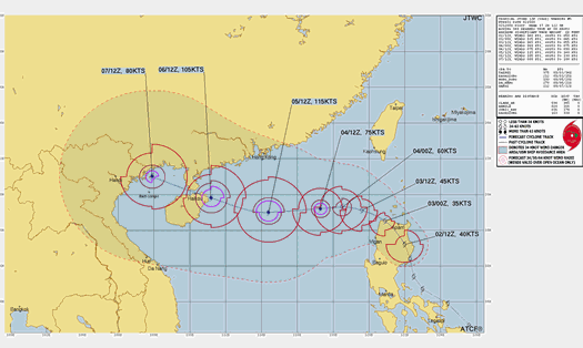
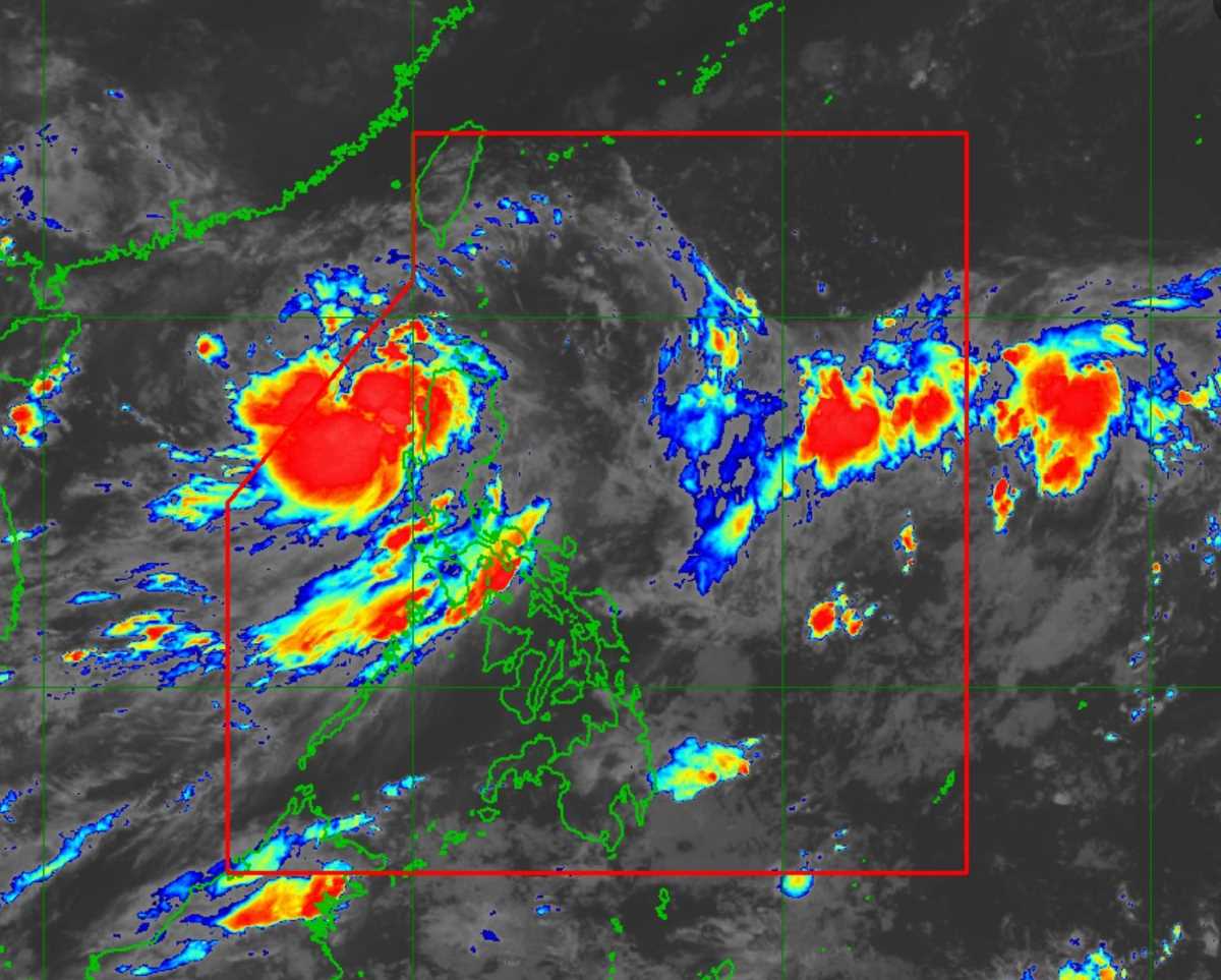
This is the third storm in 2024, according to the National Center for Hydro-Meteorological Forecasting. At 7:00 a.m. on September 3, the center of the storm was located at about 18.4 degrees North latitude; 119.8 degrees East longitude, in the northeastern sea area of the North East Sea. The strongest wind near the center of the storm is level 8 (62-74 km/h), gusting to level 11, moving in the West Northwest direction, about 20-25 km/h.
The storm had maximum sustained winds of 75 km/h (Level 8) near the center, with gusts of up to 125 km/h (Level 12). Strong winds and gusts extended out to 190 km from the center of the storm.
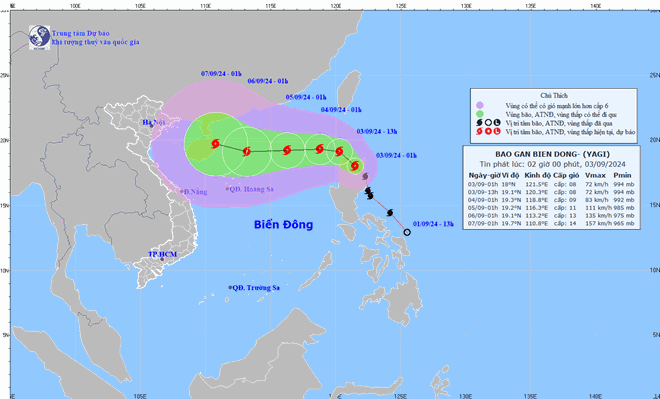
Typhoon Yagi is forecast to continue moving towards the East Sea. In the next 72 to 120 hours, the storm will move mainly in the West-Northwest direction, traveling 10-15km per hour, with the possibility of increasing in intensity.
At 1:00 a.m. on September 4, the storm is expected to be about 880 km east of Hainan Island, China, with winds near the storm's center reaching level 9 and gusts reaching level 12.
From the afternoon and night of September 3, the northeastern sea area of the northern East Sea will have winds gradually increasing to level 6, near the storm center will have strong winds of level 8, gusting to level 12, and rough seas.
From September 4-6, Typhoon Yagi may reach very strong storm level in the northeastern region of the East Sea, with maximum strong winds reaching level 13 and gusts of level 16 near the storm's center.
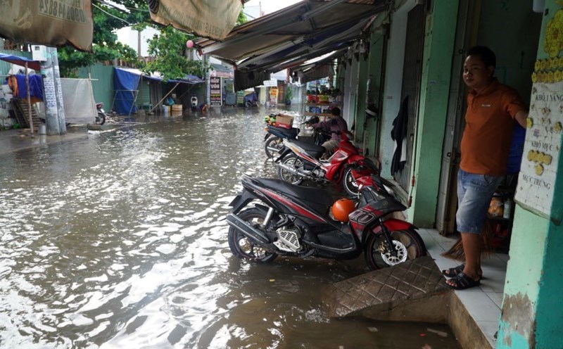
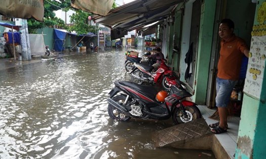
Tourists and residents in coastal areas should exercise extreme caution. Fishing and tourism activities at sea and in coastal areas, especially in the northern part of the East Sea, are advised to temporarily suspend to ensure safety.
The weather on land in the North may have light rain and thunderstorms, but people and tourists still need to regularly update weather information to monitor the storm's developments.