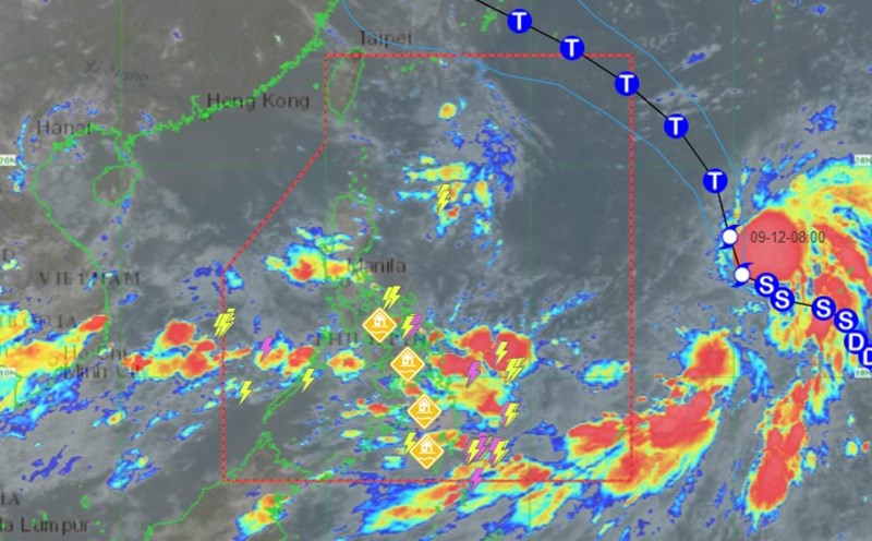
According to the latest information from the Philippine Atmospheric, Geophysical and Astronomical Services Administration (PAGASA), as of 11:00 a.m. on September 12 (local time), the center of tropical storm Bebinca is estimated to be located at 18.1 degrees north latitude, 140.0 degrees east longitude, about 1,975 km from Central Luzon (Philippines) and 1,930 km east of Northern Luzon.
The sustained wind intensity near the center of the storm reaches a maximum of 95 km/h, gusts up to 115 km/h, central pressure 990 hPa. The storm is moving north at a speed of 30 km/h. Strong winds to the storm extend the affected area up to 580 km from the center.
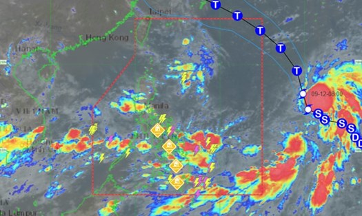
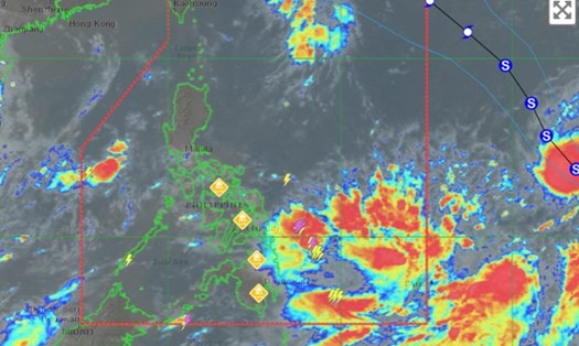
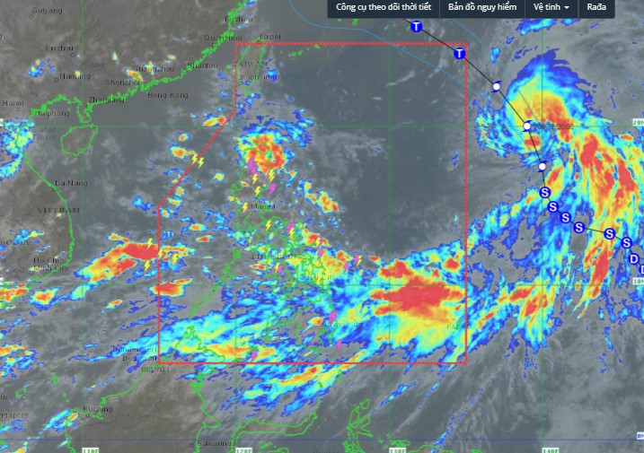
Satellite images show the storm heading north and not entering the South China Sea. However, its tail and long impact area will affect the weather in this sea area.
Weather expert Benison Estareja said the eastern Luzon and Visayas regions of the Philippines would be affected: "Tropical Storm Bebinca is expected to continue to strengthen as it moves northwest before entering the PAR region, possibly on the night of September 13."
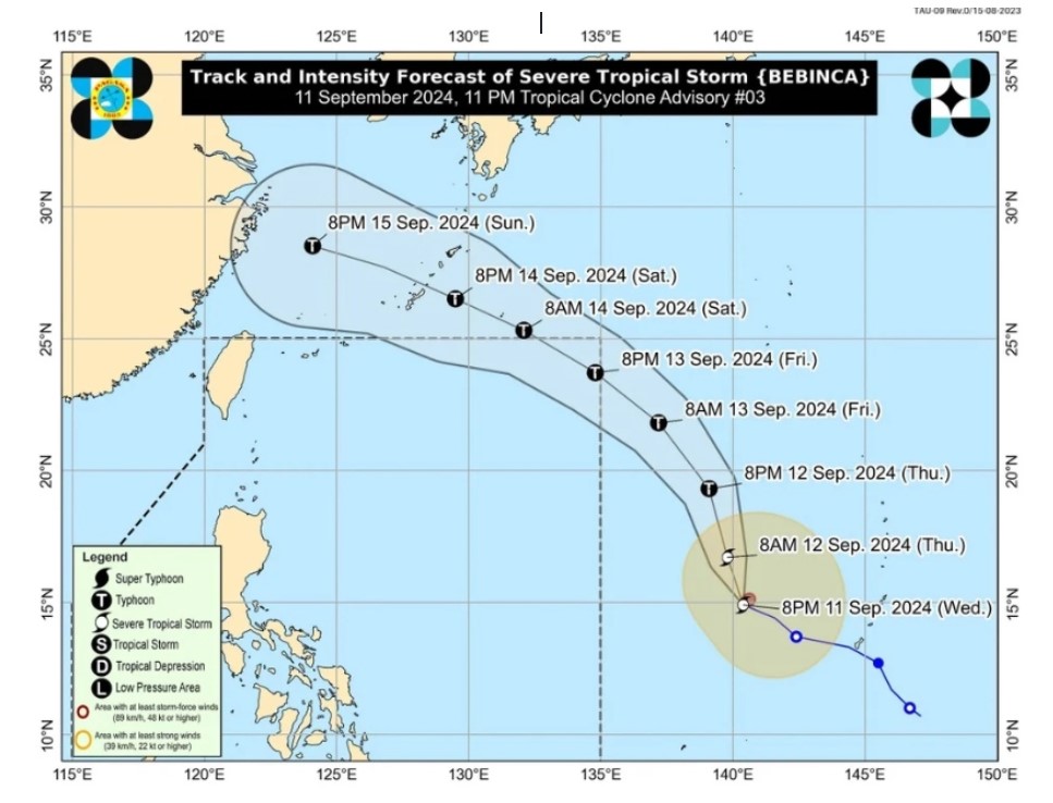
Bebinca will develop into a typhoon outside the PAR and once inside the region, it will be named Ferdie. This is the sixth typhoon to make landfall in the Philippines this year.
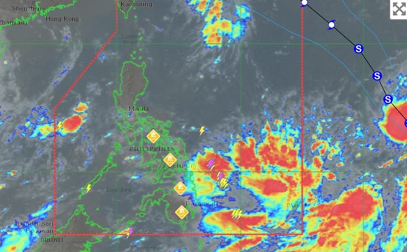
Meanwhile, Bebinca has intensified the southwest monsoon, affecting Visayas and Mindanao, Mimaropa and Calabarzon. These areas are likely to experience scattered rains.
Previously, it was forecast that storm Bebinca could strengthen into a hurricane on the afternoon of September 12. In the face of this storm, countries around the East Sea continue to be affected.
Tourists who want to travel to the Philippines or other countries in the region should monitor the weather before their trip, ensure their schedule is not delayed and be on guard against dangers caused by natural disasters.