According to the latest storm and tropical depression forecast, a cloud cluster in the Mimaropa area, Philippines is likely to develop into a new low pressure area near the East Sea.
Specifically, the Philippine Atmospheric, Geophysical and Astronomical Services Agency (PAGASA) is closely monitoring clouds that could become new low pressure areas.
PAGASA meteorological expert Benison Estareja said: "We are closely monitoring the movements of these clouds. It is forecast that the clouds may develop into shallow convection flows or low pressure areas."
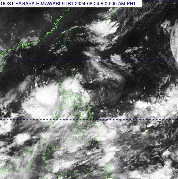
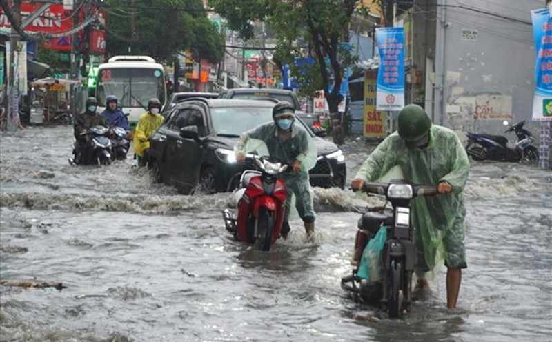
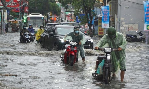
Meanwhile, the trade winds from the east are continuing to bring hot and humid air, affecting Southern Luzon and the eastern regions of the Visayas and Mindanao of the Philippines. Scattered rain and thunderstorms are forecast in these areas throughout the day.
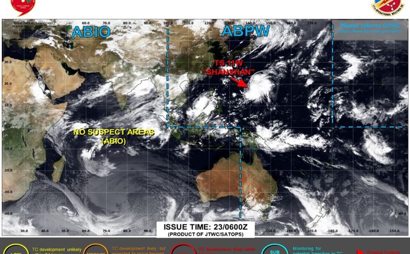
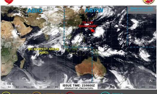
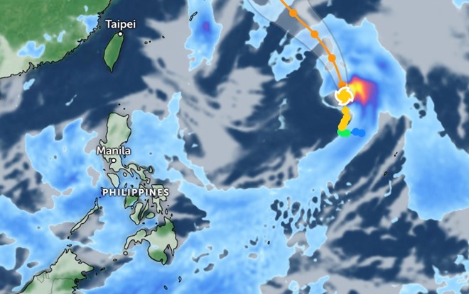
At the same time, storm Shanshan is continuing to move north, causing concerns about the weather situation in the area.
According to the New York Times, hurricane season in the western Pacific region takes place all year round, but most storms form from early July to mid-December. These storms often affect countries in the region. such as the Philippines, Japan, countries of the Korean peninsula, China and Vietnam.
Given the complicated developments of the storm, residents and tourists need to regularly monitor weather reports and storm warnings from the authorities.
Consider changing your travel itinerary if traveling to areas likely to be affected by storms or tropical depressions. Follow instructions and warnings from local authorities.
Avoid outdoor activities, especially activities at sea, when there are warnings of bad weather.
In case of emergency, keep in touch with your country's embassy and consulate at your destination for assistance if necessary.
Visitors need to always take precautions and be ready to respond to all situations to ensure the safety of themselves and those around them during this storm season.