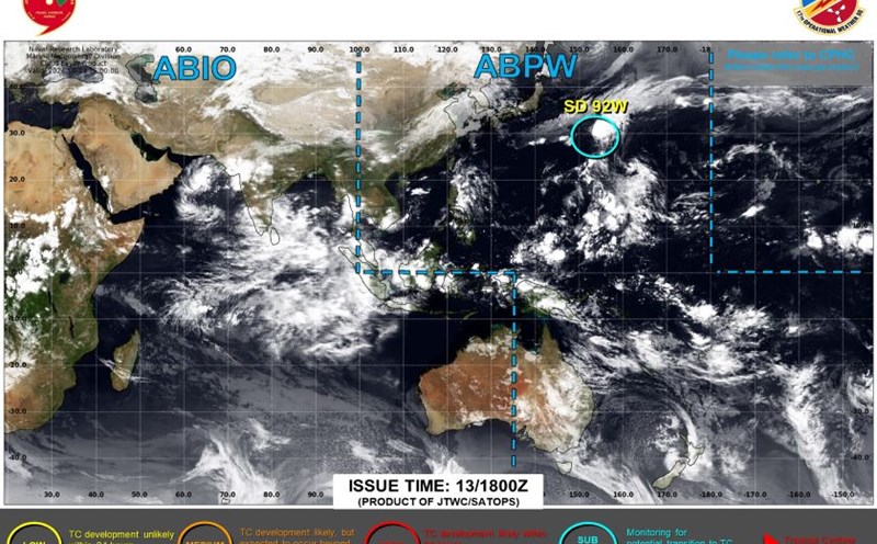
According to the latest information from Fox Weather, meteorologists are currently closely monitoring a tropical disturbance coded Invest 94L moving westward through the unfavorable atmosphere in the middle of the tropical Atlantic.
Currently, dry air is preventing thunderstorms from forming. The likelihood of this weather phenomenon developing into a storm in the next few days is low.
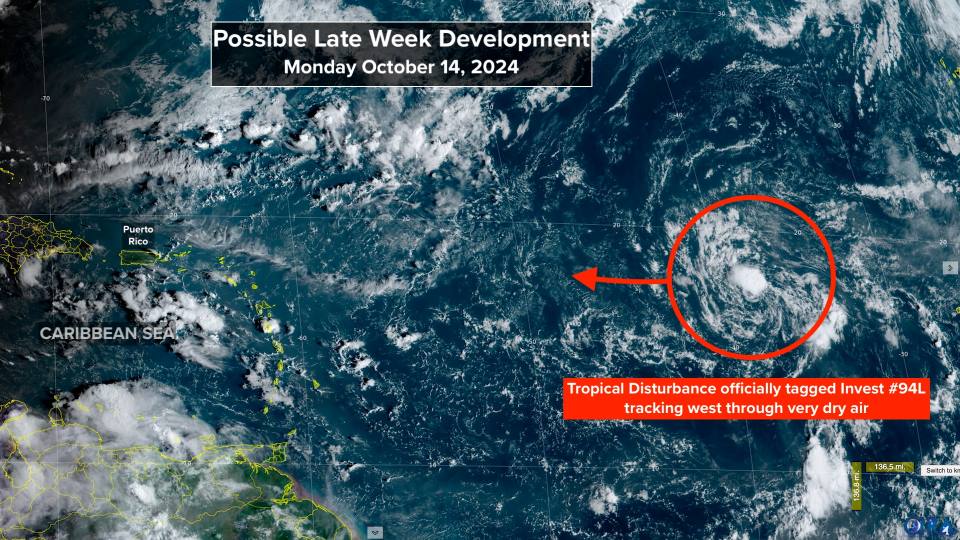
However, as the system moves closer to or north of the northeastern Caribbean later this week, conditions are forecast to become more favorable for its development.
It is quite unusual for a tropical disturbance originating in waters near Africa to reach the Caribbean at this time of year.
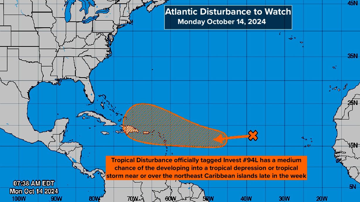
The US National Hurricane Center (NHC) assessed the system as having a moderate chance of developing into a tropical depression as it approaches Puerto Rico or neighboring islands.
The guiding air currents are then forecast to weaken, so the system could drift closer to Puerto Rico, the Dominican Republic, Haiti or the southeastern Bahamas. It is possible that some of the islands could be affected by tropical storms or hurricanes.
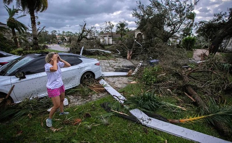
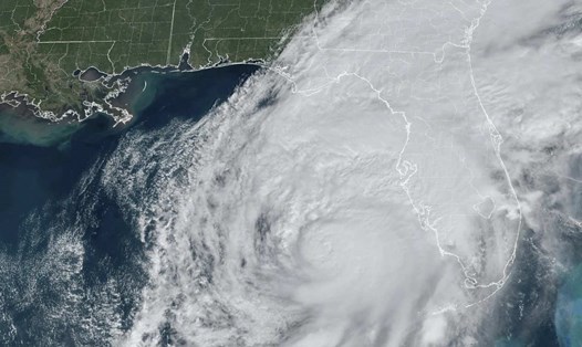
Florida (USA) currently appears to be under no direct threat after being heavily impacted by Hurricane Milton and Hurricane Helene. However, the situation could change as the system develops more clearly.
In light of the above information, travelers planning to travel to Puerto Rico, the Virgin Islands, Hispaniola, the southeastern Bahamas and surrounding areas this week should closely monitor weather reports and updates from local authorities.
Have a backup plan for your trip, including changing your itinerary if necessary.
Make sure you have emergency communications and know where to find safe shelter in case of a storm. Always carry essentials such as drinking water, dry food, flashlights, and basic medical supplies.
Follow official information channels and follow all instructions from local authorities.

