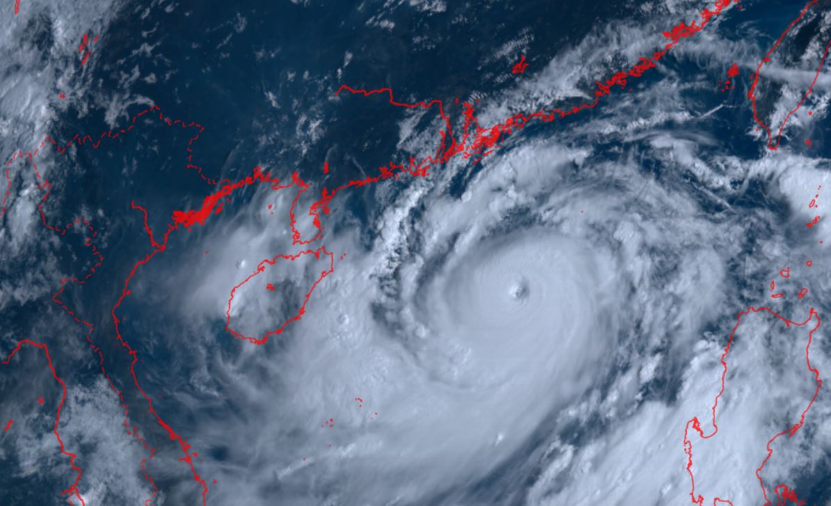
According to the storm forecast bulletin of the National Center for Hydro-Meteorological Forecasting, at 7:00 a.m. on September 5, the center of the storm was located at about 19.0 degrees North latitude; 115.8 degrees East longitude, in the northern sea area of the North East Sea, about 520 km east of Hainan Island (China). The strongest wind near the center of the storm is level 15 (167-183 km/h), gusting to level 17, moving westward at a speed of about 10 km/h.
Typhoon Yagi could bring heavy rain, with total rainfall expected to range from 250 to 350 mm in affected areas. Some areas could see rainfall exceeding 400 mm from the night of September 5 to the end of September 7, China Daily reported.
Hainan Island (China) experienced a typhoon-free August, resulting in a significant drop in rainfall. According to data, August rainfall here reached only 142.3 mm, down 53.2% compared to the same period last year.
The average temperature on Hainan Island was also higher than the annual average, reaching 29 degrees Celsius, causing drought in many areas.
It is forecasted that from September 1 to November 15 this year, Hainan Island - the northern region of the East Sea - is likely to welcome up to 5 storms. Of these, 1 or 2 storms are likely to make landfall. This increases the risk of storm-related disasters compared to previous years.
Regarding the situation of Typhoon Yagi, on the evening of September 4, the National Meteorological Center of China (NMC) issued a red alert for this typhoon.
Typhoon Yagi is expected to bring strong winds and heavy rain to southern China. The China Meteorological Administration has raised the emergency warning for Typhoon Yagi from level 4 to level 2. Typhoon Yagi is forecast to move northwest at a speed of about 10 km/h and may increase in intensity.
Heavy rain is also forecast in parts of Taiwan (China), coastal areas of Guangdong and Hainan Island.
China uses a four-tier weather warning system, with red being the most severe, followed by orange, yellow and blue.
According to SCMP , the Hong Kong Meteorological Department (China) is considering issuing warning number 8 from 4pm to 7pm on September 5 as Typhoon Yagi continues to strengthen and move closer to Hong Kong (China).
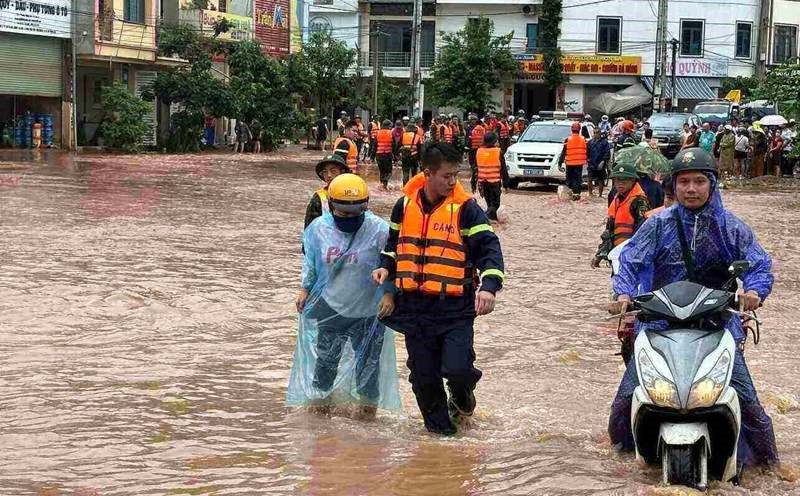
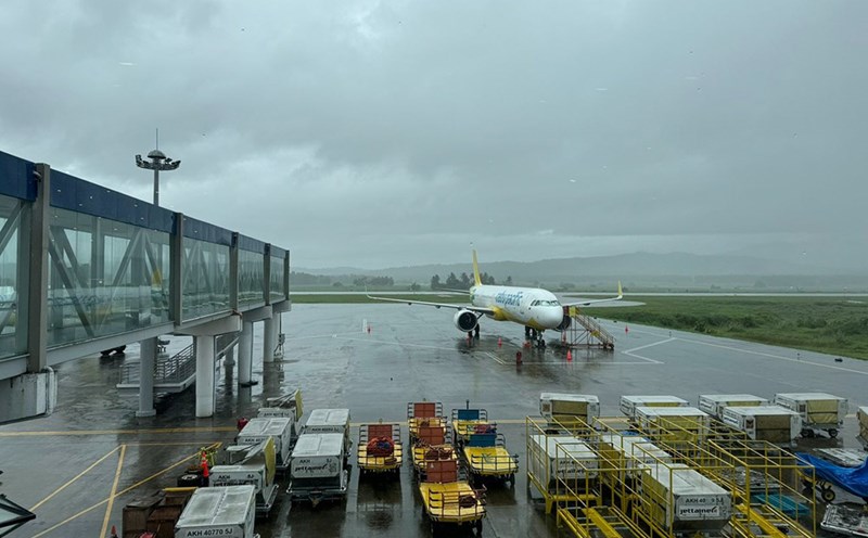
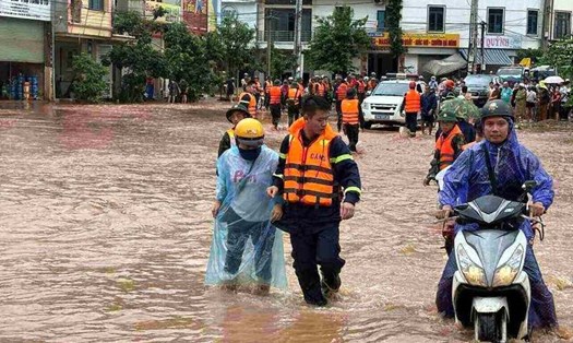
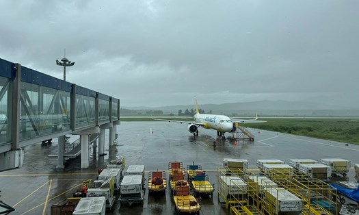
Given the complex weather situation, visitors planning to visit the above areas should pay attention to and update the latest information about the storm from official sources. Consider postponing or changing the schedule to these areas.
Always follow the instructions of local authorities and security personnel. Keep contact information for your embassy or consulate in your country of residence for assistance if needed.