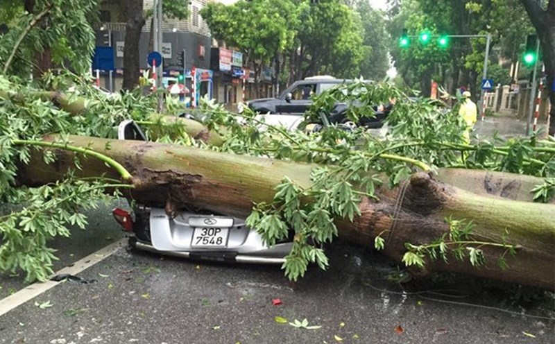
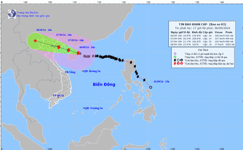
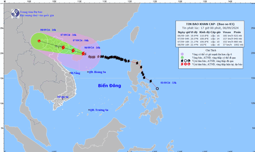
According to the National Center for Hydro-Meteorological Forecasting, storm No. 3 Yagi has weakened by one level and entered the Gulf of Tonkin, Vietnam. The strongest wind near the storm's center is level 14, gusting to level 17, moving in the West-Northwest direction at a speed of 15-20km/h.
Early morning of September 7, storm Yagi will approach the mainland, affecting coastal provinces. By the evening of September 7, storm No. 3 will enter northern provinces such as Quang Ninh, Hai Phong, etc.
To track the path of Typhoon Yagi, people can access the website of the National Center for Hydro-Meteorological Forecasting, update the application on mobile devices to grasp information about location, direction, speed and receive warnings to prepare timely response measures.
Windy
In recent days, this is the most downloaded application on the iOS platform in Vietnam. Besides the App Store, Windy also tops the weather application category on Android.
Windy is a weather tracking application, supporting many different viewing modes including: wind force, temperature, rainfall, clouds...
Users can use the application to view weather forecasts for the day and week.
According to the app developer, Windy gets data from the global weather forecast system GFS, the European Center for Weather Forecasts ECMWF and other reputable systems.
Through the application, you can track the detailed path and changes of Typhoon Yagi.
Zoom Earth
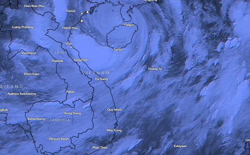
Zoom Earth is a live platform for tracking storms. Unlike Windy, Zoom Earth primarily provides live satellite imagery of storms, allowing users to track Yagi's movement most accurately.
Satellite images provided by NOAA and major meteorological centers around the world will be updated regularly by Zoom Earth. Just click on the search for Typhoon Yagi, the website will automatically display specific weather, wind speed, direction and current location.
Vietnam Disaster Monitoring System
Through the Vietnam Disaster Monitoring System, users can track Typhoon Yagi in detail and accurately. Just access the link vndms.dmc.gov.vn, the website will visually display information related to the weather, forecasts on the path, and areas affected by the typhoon, similar to the Windy application.
Smartphone users can also use Google Maps to track Typhoon Yagi. In the current main interface of the application, Google Maps has a warning for Typhoon No. 3.
When clicked, users will be provided with information such as location, forecast direction, strong wind areas, etc. The above data is taken from the Japan Meteorological Agency.