According to the latest weather forecast from the Philippine Atmospheric, Geophysical and Astronomical Services Administration, tropical depression Huaning has moved out of the Philippine area of responsibility and is unlikely to enter the East Sea.
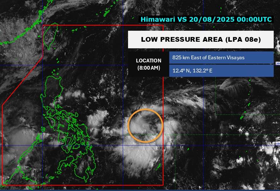
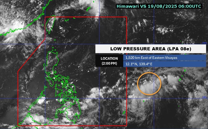
Meanwhile, a new low pressure has appeared near the East Sea, entering the Philippine area of responsibility. As of 8:00 a.m. on August 20 (local time), the center of the low pressure was at about 12.4 degrees North latitude - 132.2 degrees East longitude, about 835 km east of Eastern Visayas.

The low pressure is forecast to have a moderate chance of developing into a tropical depression. Because it is still quite far from the mainland, the low pressure has not yet affected the mainland of the Philippines.
Meanwhile, according to the National Center for Hydro-Meteorological Forecasting, on the morning of August 20, the area north of the Gulf of Tonkin, the sea northwest of the North East Sea, and the east of the Central and South East Sea will have scattered showers and thunderstorms.
It is forecasted that during the day and night of August 20, the northern Gulf of Tonkin, northwest of the East Sea, central and southern East Sea (including Truong Sa) will continue to have scattered showers and thunderstorms. During thunderstorms, there is a possibility of tornadoes and strong gusts of wind of level 6-7. Waves are 1.02.0m high.
Ship operating in the above areas are at risk of being affected by tornadoes and strong gusts of wind.
People and tourists planning to visit these coastal areas should monitor weather forecasts. Follow local recommendations to ensure safety.


