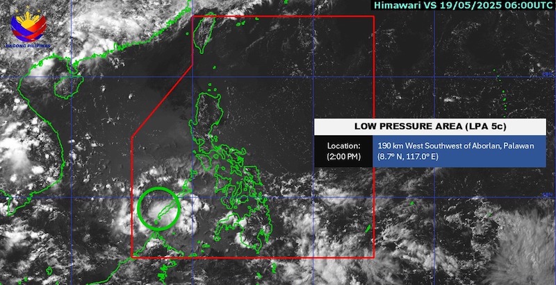
According to the latest low pressure forecast from the Philippine Atmospheric, Geophysical and Astronomical Services Administration (PAGASA), as of 2:00 p.m. on May 19 (local time), a low pressure area (LPA 5c) is being monitored inside the Philippine Area of Responsibility (PAR).
The meteorological agency forecasts that the low pressure is unlikely to develop into a tropical depression within the next 24 hours.
By 3:00 p.m. the same day, the low pressure is estimated to be 200 km southwest of Aborlan and Palawan (8.7 degrees North latitude, 116.9 degrees East longitude).
Tourists planning to travel to the Philippines should pay attention to the weather with scattered showers and thunderstorms, some places have very heavy rain in some areas such as Mindanao and Palawan, Metro Manila, Leyte... Thunderstorms can affect flight schedules and diving tours.
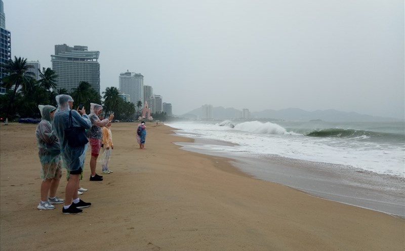
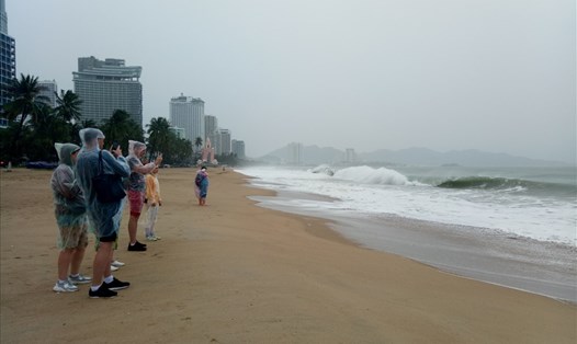
According to the National Center for Hydro-Meteorological Forecasting, on the night of May 19 and tomorrow, May 20, the sea weather is forecast to have scattered showers and thunderstorms in many areas.
The North and South Gulf of Tonkin, the sea area from Binh Thuan to Ca Mau, from Ca Mau to Kien Giang, the central and southern East Sea, Truong Sa archipelago and the Gulf of Thailand are likely to experience tornadoes and strong gusts of wind in thunderstorms.
The view from a distance is generally over 10km, down to 4-10km when it rains.
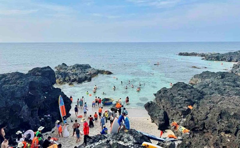
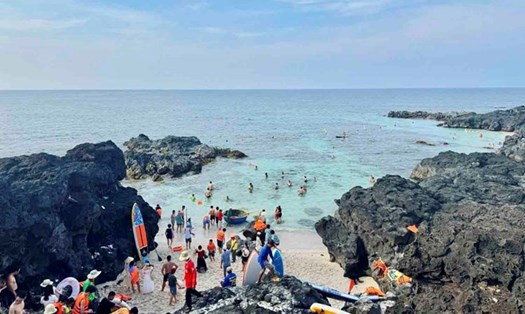
In particular, the Hoang Sa archipelago and the sea area from Binh Dinh to Ninh Thuan have stable weather, no rain, light winds, a long view of over 10km.
According to the National Center for Hydro-Meteorological Forecasting, from May 15 to August 2025, storms and tropical depressions are likely to operate in the East Sea and affect our country at a level close to the average of many years (over the East Sea: 5.2 storms, making landfall: 2.0 storms).
In response to this weather information, visitors should regularly monitor forecasts, avoid or postpone sea trips, island tours or sea diving if the weather is bad, the sea is rough or there are warnings of big waves.
If traveling during this period, especially to coastal provinces such as Quang Ninh, Da Nang, Khanh Hoa, Binh Thuan or islands such as Phu Quoc, Ly Son, Con Dao... you need to plan a backup (delay your trip, change your schedule).
Prepare raincoats, basic medicine, and backup chargers. Limit travel in conditions of heavy rain, strong gusts of wind or flash floods, landslides in mountainous areas.