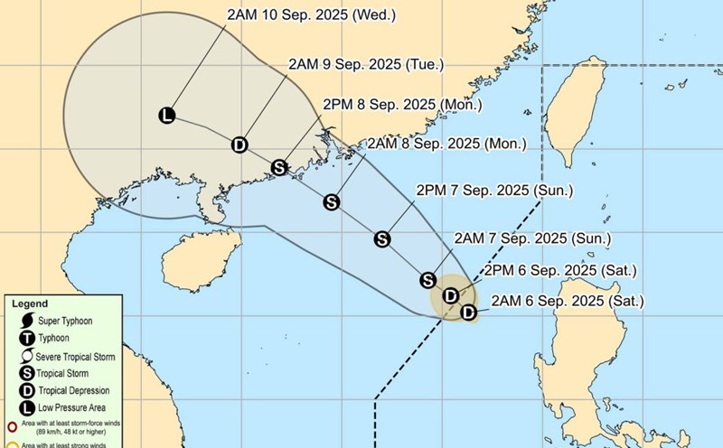
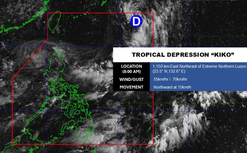
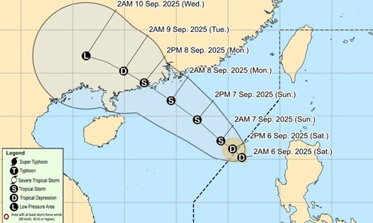
According to the latest weather forecast from the Philippine Atmospheric, Geophysical and Astronomical Services Administration (PAGASA), a new low pressure has formed near the East Sea, within the Philippine Area of Responsibility (PAR).
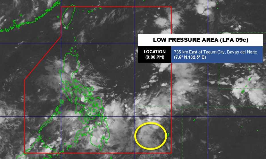
At 3:00 a.m. on September 12, the center of the low pressure was at about 7.8 degrees North latitude - 131.2 degrees East longitude, 540 km east of Hinatuan, Surigao del Sur. The low pressure circulation affects Luzon and the Visayas.
The low pressure is forecast to have a moderate chance of developing into a tropical depression in the next 24 hours.
Due to the influence of the low pressure, the Eastern Visayas, Caraga and Davao Oriental regions will have gloomy skies and scattered thunderstorms.
moderate to heavy rain can cause floods and landslides.
According to the National Center for Hydro-Meteorological Forecasting, on September 12, the North East Sea will have scattered showers and thunderstorms. A view of over 10 km away. South to southeast wind level 3-4. Waves 1.0 - 2.0m high
The area from South Quang Tri to Quang Ngai will have scattered showers and thunderstorms. A view of over 10km away. Light wind. Waves are 0.5 - 1.5m high.
People and tourists planning to visit these coastal areas should pay attention to weather forecasts. Follow local instructions to avoid thunderstorms and large waves.