A low pressure is being monitored outside the Philippine Area of Responsibility (PAR) on Sunday afternoon, June 22.
In the warning bulletin, the Philippine Atmospheric, Geophysical and Astronomical Services Administration ( pagasa) said that at 2:00 p.m. (local time), low pressure 6e was detected about 2,350 km east of the northernmost tip of Luzon Island.
Meanwhile, according to the weather bulletin published at 4:00 p.m., Pagasa said the southwest monsoon (also known as habagat) is affecting Central Luzon, Southern Luzon, and the western regions of Visayas and Mindanao.
Currently, this low pressure has not affected the weather in the East Sea.
However, according to the National Center for Hydro-Meteorological Forecasting, on June 22, showers and thunderstorms are occurring in some sea areas, including: the southern central East Sea, the northern southern East Sea (including Truong Sa archipelago), the sea area from Ca Mau to Kien Giang and the Gulf of Thailand.
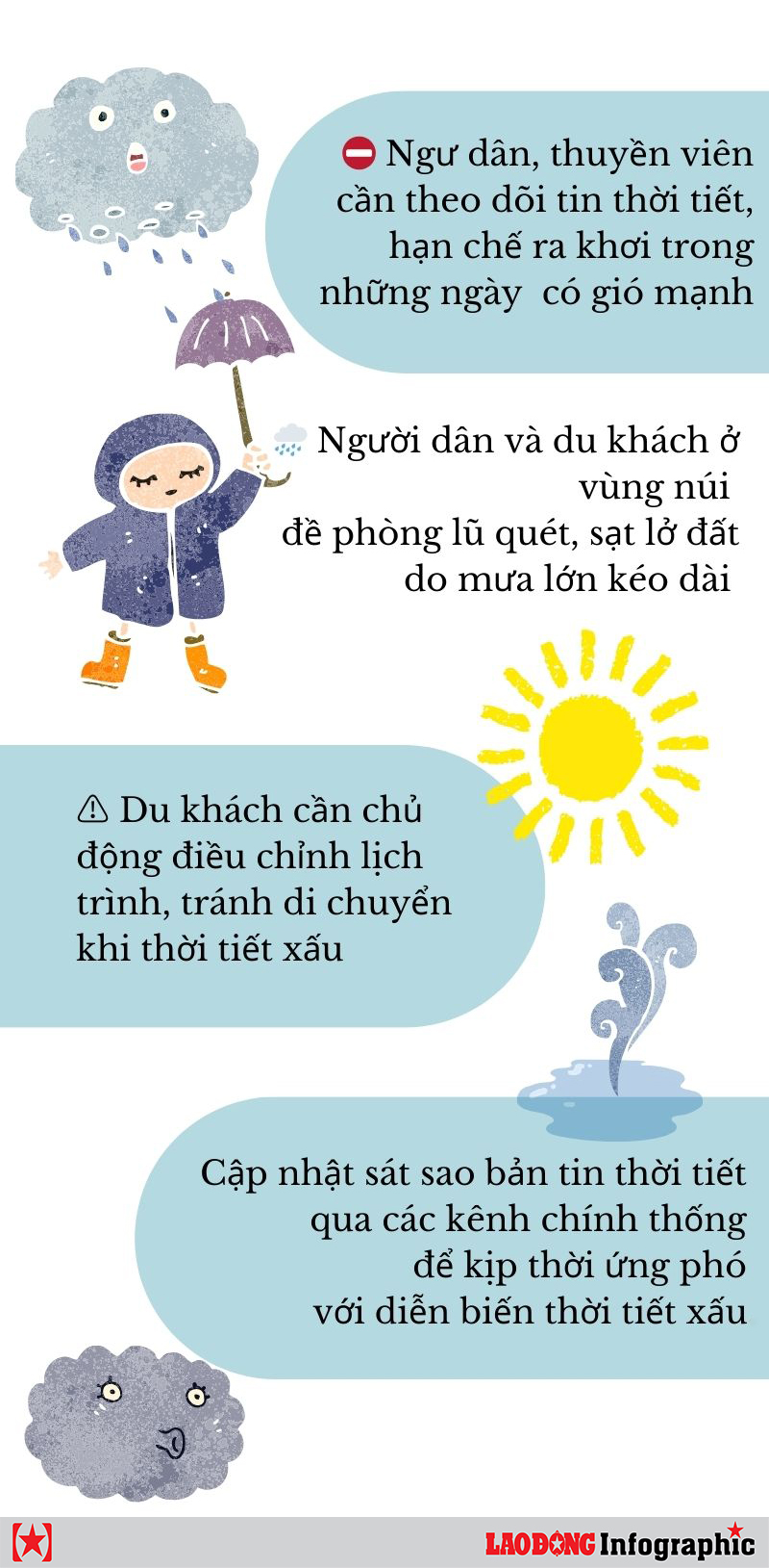
It is forecasted that on the night of June 22 and June 23, showers and thunderstorms will continue to occur in the following seas: between the East Sea, the North South East Sea (including the Truong Sa area), from Binh Thuan to Ca Mau, from Ca Mau to Kien Giang and the Gulf of Thailand. During thunderstorms, there is a possibility of tornadoes and strong gusts of wind of level 6-7, waves over 2.0m high.
The sea area from Binh Thuan to Ca Mau will have strong southwest winds of level 5, sometimes level 6, gusting to level 7, causing rough seas.
Vessels operating in the above areas need to pay special attention to the risk of tornadoes, strong gusts of wind and large waves to ensure safety.
Tourists should closely monitor weather forecasts, limit travel or activities at sea during unfavorable weather to ensure safety.