According to the National Center for Hydro-Meteorological Forecasting, in the afternoon of January 5, in the Gulf of Tonkin, there was strong Northeast wind at level 6, gusting at level 7; Phu Quy special zone had gusts at level 7; Huyen Tran station had strong Northeast wind at level 6. The sea area northeast of the Northern East Sea area had strong Northeast wind at level 6.
The low pressure trough in the South has its axis at about 5-7 degrees North latitude connected to a low pressure area located at 13h at about 5.5-6.5 degrees North latitude; 111.5-112.5 degrees East longitude.
Tonight, the Gulf of Tonkin area will have Northeast wind level 6, sometimes level 7, gusts level 8-9. Waves 2.5-3.5m high. Strong sea waves.
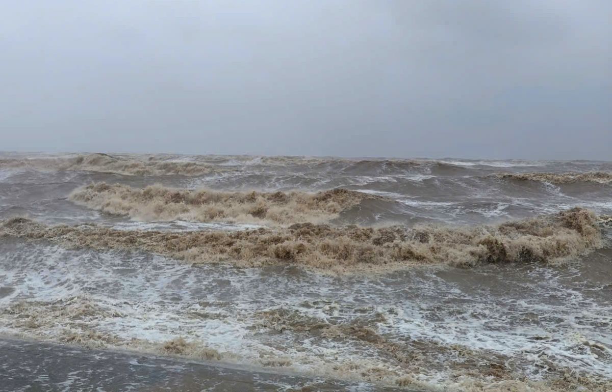
The northern East Sea area (including the Hoang Sa special zone) has northeast winds gradually strengthening to level 6-7, gusting to level 8-9. Waves 2.0-4.0m high. Sea rough.
The sea area from Khanh Hoa to Ca Mau and the sea area southwest of the East Sea (including the sea area west of the Truong Sa special zone) has Northeast wind level 6, from January 06th at times level 7, gusts level 8-9. High waves 4.0-6.0m. Strong sea waves.
Sea area from South Quang Tri to Dak Lak and the Central East Sea area: Northeast wind gradually strengthens to level 6, gusting to level 7-8. Waves 2.0-5.0m high. Sea rough.
In addition, on the night of January 5 and January 6, the Central and South East Sea areas (including the Truong Sa special zone) will have scattered showers and thunderstorms. In thunderstorms, there is a possibility of tornadoes and strong gusts of wind. In thunderstorms, there is a possibility of tornadoes and strong gusts of wind.
Forecast for the night of the 6th and day of January 7th, the Northern East Sea area (including Hoang Sa special zone), the sea area from Khanh Hoa to Ca Mau, the western sea area of the South East Sea (including the western sea area of Truong Sa special zone) will have strong Northeast wind at level 6, sometimes level 7, gusting level 8-9, sea waves 3.0-6.0m high, strong sea. The sea area from South Quang Tri to Dak Lak, the Central East Sea area will have strong Northeast wind at level 6, gusting level 7-8, sea waves 3.0-5.0m high, rough seas.
On the night of January 6, the Gulf of Tonkin had Northeast wind level 6, gusts level 7-8, sea waves 2.5-3.5m high. Sea rough. Level of natural disaster risk at sea: level 2.
Ships operating in the above sea areas are at high risk of being affected by strong winds and big waves. People and tourists planning to visit these sea areas should pay attention to weather forecasts. Follow local instructions to avoid storms and floods at sea that are dangerous throughout the journey.


