
According to the National Center for Hydro-Meteorological Forecasting, in the afternoon of August 8, the Gulf of Tonkin area has strong winds of level 6, gusts of level 8, waves 1.5-2.5m high, rough seas. The North and Central East Sea areas, including the Hoang Sa special zone, have strong winds of level 6, sometimes level 7, gusts of level 8; waves 2-4m high, strong rough seas.
On the night of August 8 and the day of August 9, the Southern Gulf of Tonkin and the sea area from Quang Tri to Quang Ngai will have West to Southwest winds of level 5, sometimes level 6, gusts of level 7-8, waves 1.5-3m high. Tourists traveling by boat, canoe or participating in sea tours need to pay special attention to weather developments.
In the North and Central East Sea, including the Hoang Sa special zone, southwest wind level 6, sometimes level 7, gusts level 8-9; waves 3-5m high, especially the Hoang Sa area 2-4m high, strong rough seas.
In addition, the sea area from Gia Lai to Lam Dong and the sea area north-south of the East Sea, including the north of the Truong Sa special zone, has southwest wind level 6, gusts level 8, waves 2-4m high, rough seas.
Notably, on the night of August 8 and the day of August 9, many sea areas will have scattered showers and thunderstorms. In thunderstorms, there is a possibility of tornadoes, strong gusts of wind at level 7-8 and waves over 2m high.
Faced with the above situation, tourists planning sea tourism should closely monitor weather information, especially before participating in sea activities.
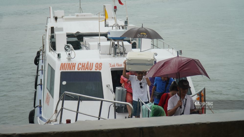
When there is a bad weather warning, it is necessary to comply with the instructions of functional agencies, tour organizers and rescue forces; limit or temporarily suspend activities such as going by boat, canoe, fishing, diving and water-based recreational activities.
The tropical depression is currently unlikely to strengthen into a storm, however, the weather at sea is still dangerous due to strong winds, big waves and thunderstorms. Tourists need to proactively update forecasts before and during the journey to ensure safety.


