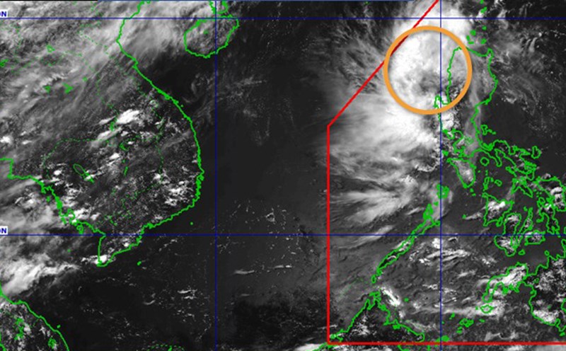
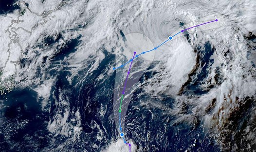
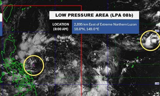
According to the National Center for Hydro-Meteorological Forecasting, the low pressure in the East Sea has officially strengthened into a tropical depression.
As of 7:00 a.m. on August 8, the center of the tropical depression was at about 19.0 degrees North latitude - 118.2 degrees East longitude, in the eastern sea of the North East Sea. The strongest wind near the center of the tropical depression is level 6 (39-49km/h), gusting to level 8.
The low pressure is moving in a West-Northwest direction at a speed of about 10-15km/h.
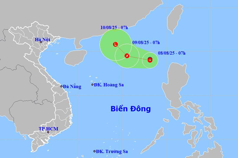
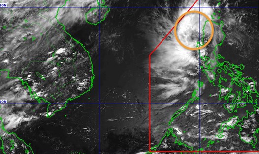
It is forecasted that by 7:00 a.m. on August 9, the tropical depression will move in the West Northwest direction at a speed of about 10-15km/h. The center of the low pressure is located at about 19.5 degrees North latitude - 115.6 degrees East longitude, about 500km northeast of Hoang Sa archipelago.
The strongest wind near the center of the tropical depression is level 6, gusting to level 8. Natural disaster risk level: level 3 for the eastern sea area of the North East Sea.
At 7:00 a.m. on August 10, the tropical depression moved northwest at a speed of about 5-10km/h and gradually weakened into a low pressure area. The center of the low pressure is currently at about 20.8 degrees North latitude - 114.3 degrees East longitude, in the northern sea area of the North East Sea. The strongest wind reaches level 6.
Due to the influence of the tropical depression, the eastern sea of the North East Sea will have thunderstorms and strong winds of level 6, gusts of level 8, rough seas. Waves are 2.0-3.0m high.
Ship operating in the above-mentioned dangerous areas are likely to be affected by thunderstorms, whirlwinds, strong winds, and large waves.
People and tourists planning to visit these coastal areas should pay attention to weather forecasts. Tuan follows local instructions to avoid storms that cause impacts.