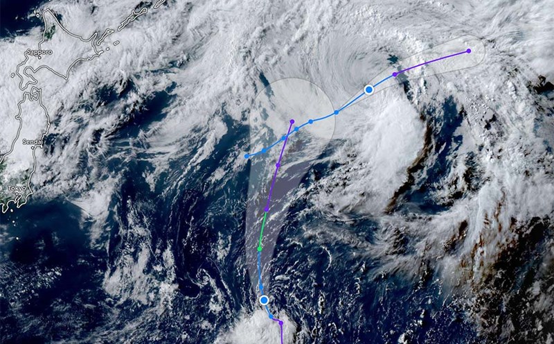
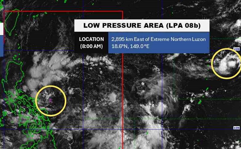
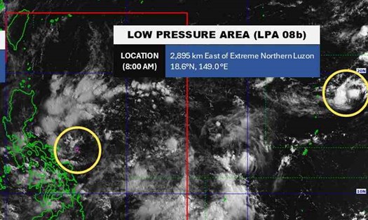
According to the new low pressure information from the Philippine Atmospheric, Geophysical and Astronomical Services Administration (PAGASA), at 2:00 p.m. on August 7 (local time), the low pressure area in the country's responsibility area (PAR) has a moderate chance of strengthening into a tropical depression.
The low pressure is located at about 16.7 degrees North latitude, 120.2 degrees East longitude, off the coast of San Fernando City, La Union, Philippines.
The National Center for Hydro-Meteorological Forecasting is also monitoring this low pressure area.
Tourists planning to visit bays, islands, diving or take a high-speed boat should carefully check weather information before departure, especially in the areas: Ha Long, Cat Ba, Ly Son, Con Dao, Phu Quoc...
Consider postponing or adjusting your schedule if thunderstorms or strong winds appear in the sea tourism area. Do not swim or survey coral if the waves are large, the weather turns rainy or there is a thunderstorm warning.
Sea weather forecast for the night of August 7 and 8, 2025:
The Gulf of Tonkin has scattered showers and thunderstorms. During thunderstorms, there is a possibility of tornadoes and strong gusts of wind. A view of over 10 km away, reduced to 4-10 km when it rains. Male wind level 4-5. Waves are 1.5 - 2.5 m high, and thunderstorms can be over 2.5 m high.
The southern Gulf of Tonkin will have scattered showers and thunderstorms; the coastal waters will have scattered showers and thunderstorms. tornadoes and strong gusts of wind can occur during thunderstorms. A view of over 10 km away, reduced to 4-10 km when it rains. Southwest to male wind level 4. Waves are 1.0 - 2.0 m high, and thunderstorms can reach over 2.0 m.
The sea area from South Quang Tri to Quang Ngai will have showers and thunderstorms in some places. A view of over 10 km away. Southwest to southwest wind level 4-5. Waves are 1.0 - 2.0 m high.
The sea area from Gia Lai to Khanh Hoa will have scattered showers and thunderstorms, with a long-term visibility of over 10 km. Southwest wind level 4. Waves are 1.5 - 2.5 m high.
The sea area from Lam Dong to Ca Mau will have scattered showers and thunderstorms. A view of over 10 km away, reduced to 4-10 km when it rains. Southwest wind level 4-5. Waves are 1.5 - 2.5 m high.
The sea area from Ca Mau to An Giang will have scattered showers and thunderstorms in some places. During thunderstorms, there is a possibility of tornadoes and strong gusts of wind. A view of over 10 km away, reduced to 4-10 km when it rains. Southwest wind level 3-4. Waves are 0.5 - 1.5 m high, and thunderstorms can reach over 2.0 m.
The North East Sea will have scattered showers and thunderstorms in the east. tornadoes and strong gusts of wind may occur during thunderstorms. A view of over 10 km away, reduced to 4-10 km when it rains. Southwest to southwest wind level 4-5, especially in the east sometimes level 6, gusting to level 7-8. Waves are 1.5 - 2.5 m high, and thunderstorms can be over 2.5 m high.
The Hoang Sa archipelago will have scattered showers and thunderstorms. A view of over 10 km away. Southwest to south wind level 4-5; in the east, the west to northwest wind level 4-5. Waves are 1.5 - 2.5 m high.
The central East Sea area to the east will have scattered showers and thunderstorms. During thunderstorms, tornadoes and strong gusts of wind of level 6-7 may occur. A view of over 10 km away, reduced to 4-10 km when it rains. Southwest to south wind level 4, especially east, northwest to west wind level 4-5. Waves are 1.0 - 2.0 m high, and thunderstorms can reach over 2.0 m.
The South China Sea will have generally stable weather with scattered showers and thunderstorms. A view of over 10 km away. Light wind. Waves are 0.5 - 1.5 m high.
The Truong Sa archipelago will have scattered showers and thunderstorms. A view of over 10 km away. Light wind. Waves are 0.5 - 1.5 m high.
The Gulf of Thailand will have scattered showers and thunderstorms in some places. During thunderstorms, there is a possibility of tornadoes and strong gusts of wind. A view of over 10 km away, reduced to 4-10 km when it rains. Southwest wind level 3-4. Waves are 0.5 - 1.5 m high, and thunderstorms can reach over 2.0 m.