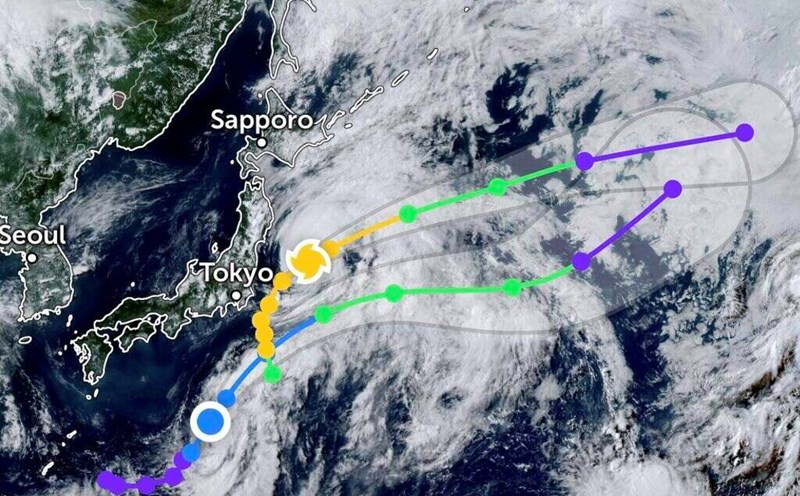
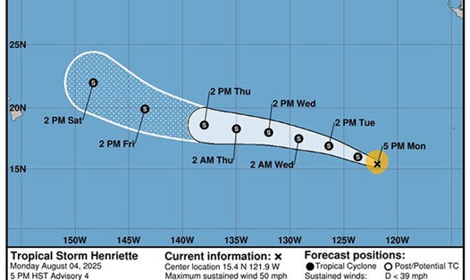
According to the new low pressure information from the Joint Typhoon Warning Center (JTWC), the tropical depression with the international name 15W is currently about 589 km northeast of Minami Tori Shima Island (Japan), moving northwest at a speed of about 13 km/h. The highest waves in the area reached 3.7 meters.
The forecast model shows that the tropical depression could strengthen slightly into a tropical storm within the next 24 hours, but will rapidly weaken.
The forecast track of the tropical depression follows international models relatively close together, however, the JTWC is slightly leaning westward compared to the average of forecast models.
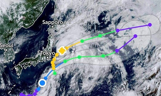
This tropical depression, once strengthened into a storm and weakened, will move towards Typhoon Bailu in the northern Pacific Ocean.
Typhoon Bailu ( Typhoon No. 10 as Japan calls it) is currently about 1,776 km east of Misawa City (Japan), moving east-northeast at a speed of about 28 km/h in the past 6 hours.
Typhoon Bailu is in the process of weakening into a low pressure area within the next 24 hours.
If you are planning to travel in the northeastern Pacific or near the southern sea of Japan in the coming days, you should closely monitor weather reports to update rough seas and risks related to aviation and maritime activities.
Meanwhile, the National Center for Hydro-Meteorological Forecasting recorded showers and thunderstorms in the northern Gulf of Tonkin and the northern sea area of the North East Sea. In the Gulf of Tonkin, there are strong southwest winds of level 5, sometimes level 6, gusting to level 7.
Forecast in the next 24 hours The Gulf of Tonkin area: scattered showers and thunderstorms; The North Gulf of Tonkin area, the western sea area of the North and Central East Sea (including the special area of Hoang Sa): strong southwest to south winds of level 5, sometimes level 6, gusts of level 7-8; rough seas; waves 1.5-3.0m high.
Sea area from Da Nang to Khanh Hoa: Southwest wind level 5, gust level 6-7.
Ship operating in the above areas are at high risk of being affected by tornadoes and strong gusts of wind.