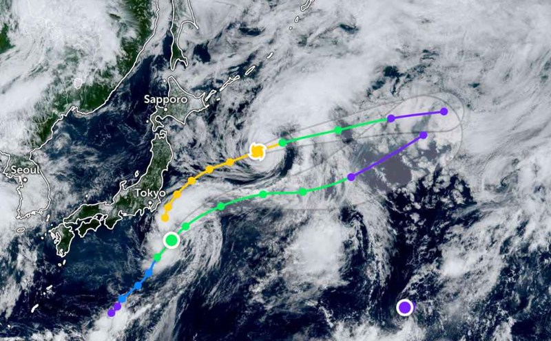
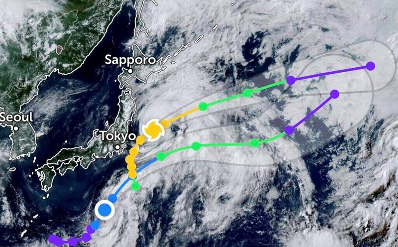
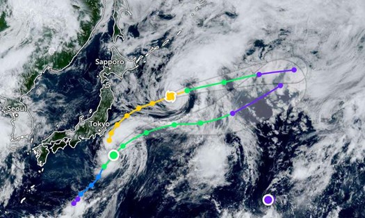
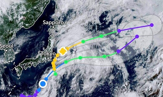
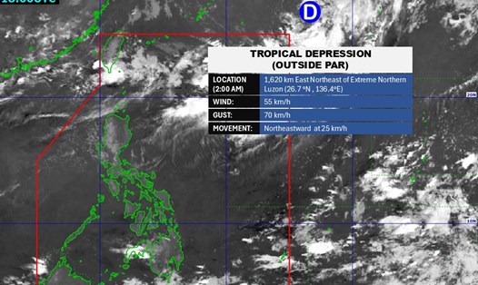
According to the latest weather forecast from the Philippine Atmospheric, Geophysical and Astronomical Services Administration (PAGASA), on the afternoon of August 4, a new low pressure appeared outside the Philippine Area of Responsibility. The center of the low pressure is located at about 13.5 degrees North latitude - 135.2 degrees East longitude, about 1,080 km east - northeast of Eastern Visayas.
The low pressure is forecast to have little chance of developing into a tropical depression in the next 24 hours. The low pressure is quite far away so it has not yet affected the mainland of the Philippines.

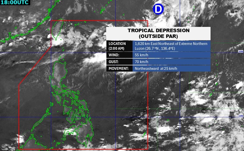
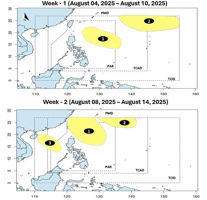
PAGASA forecasts that in the first week of August (4 - 10.8), 2 low pressure areas may form in the Philippine Area of Responsibility, but there is little chance of developing into storms.
The first low pressure is expected to form east of the PAR, while the second low pressure will form northeast of the PAR.
In the following week (11-17.8), the first low pressure will move near the eastern part of Northern Luzon, the second low pressure will move closer to the PAR area. These two low-lying hamlets are still unlikely to develop into storms.
Along with that, a third low pressure will form right in the East Sea, in the west of the PAR. This low pressure is also forecast to have little chance of developing into a storm.
According to the National Center for Hydro-Meteorological Forecasting, today, August 4, in the northern sea area of the North East Sea, there will be scattered showers and thunderstorms.
It is forecasted that on the night of August 4, in the northern sea area of the North East Sea, there will be scattered showers and thunderstorms. During thunderstorms, there is a possibility of tornadoes and strong gusts of wind.
The North East Sea area (including Hoang Sa special zone) and the Gulf of Tonkin have strong southwest winds of level 5, sometimes level 6, gusting to level 7-8; waves from 1.5-3.0m high, rough seas.
All ships operating in the above areas are at risk of being affected by tornadoes and strong gusts of wind.
Therefore, people and tourists coming to these areas should pay attention to weather forecasts and follow local instructions to ensure safety throughout the journey.