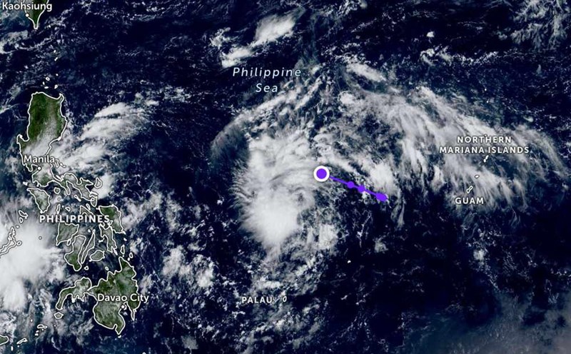
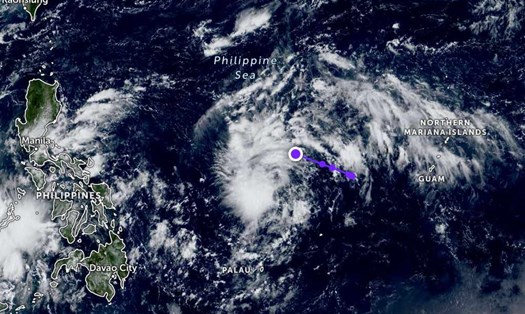
According to the latest weather forecast from the National Center for Hydro-Meteorological Forecasting, at 1:00 p.m. on October 1, the center of the tropical depression was determined to be at about 14.5 degrees North latitude; 130.9 degrees East longitude, in the sea east of Luzon Island (Philippines).
The strongest wind near the center is level 7 (50-61 km/h), gusting to level 9. The tropical depression circulation is moving west at a speed of about 15 km/h.
It is forecasted that in the next 24 hours, the tropical depression is forecast to move in the West Northwest direction, traveling 15-20 km per hour and is likely to strengthen into a storm.
At 1:00 p.m. on October 2, the center of the storm was at about 15.5 degrees North latitude; 127.3 degrees East longitude, in the sea east of Luzon Island. The strongest wind near the storm center is level 8, gusting to level 10.
By 1:00 p.m. on October 3, the storm will continue to move in the West Northwest direction at a speed of 20-25 km/h and is likely to strengthen. At this time, the center of the storm was at about 17.2 degrees North latitude; 122.3 degrees East longitude, in the area east of Luzon Island.
The strongest wind near the storm center is level 9, gusting to level 11. The danger zone in the East Sea is determined from latitude 15.0 to 21.0 degrees North latitude and east of longitude 119.0 degrees East longitude.
The natural disaster risk level is assessed as level 3, concentrated in the eastern sea area of the North East Sea.
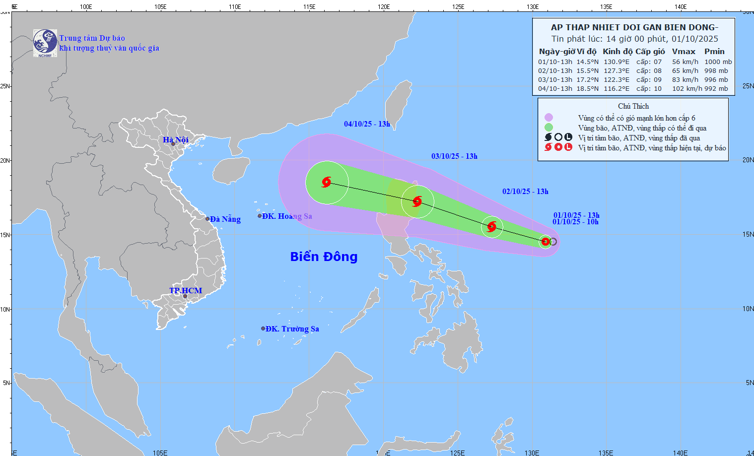
In the next 48 to 72 hours, the storm will move mainly in the West Northwest direction, traveling 25-30 km per hour, entering the East Sea and continuing to strengthen.
From October 3, the northeastern sea of the East Sea will have winds gradually increasing to level 6-7; near the storm center, level 8, gusting to level 10. Waves are 2.5-4.5 m high, rough seas.
During October 4-6, the North East Sea area, including the Hoang Sa archipelago, is likely to be affected by strong winds of level 10-11, gusting to level 14.
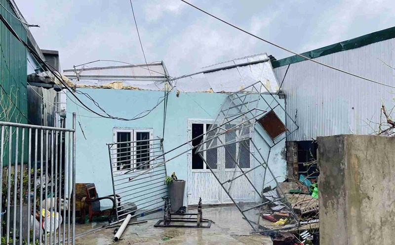
People and tourists should note that ships operating in the danger zone are warned of being at risk of being affected by thunderstorms, whirlwinds, strong winds and large waves, and need to proactively take measures to ensure safety.
The possibility of the storm affecting the mainland of Vietnam depends largely on the intensity and direction of the storm after crossing Luzon Island (Philippines).
The northern provinces, including Hanoi, are likely to experience moderate to heavy rain, focusing on the time when the storm moves deep into the East Sea and approaches the mainland.
The Central region from Nghe An to Quang Tri also needs to be vigilant against the risk of prolonged heavy rain, easily causing local flooding, flash floods and landslides in mountainous areas.