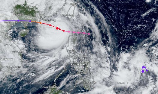
According to the Joint Typhoon Warning Center (JWTC), a new low pressure has appeared near the East Sea, outside the Philippine Area of Responsibility (PAR).
The strongest wind near the center of the low pressure reaches 25-35 km/h. The low pressure is forecast to have a moderate chance of developing into a tropical depression in the next 24 hours.
Meanwhile, the Philippine Atmospheric, Geophysical and Astronomical Services Administration forecasts that this low pressure area may enter PAR on the night of September 30 or the morning of October 1. The low pressure may strengthen into a storm and enter the Philippine waters.
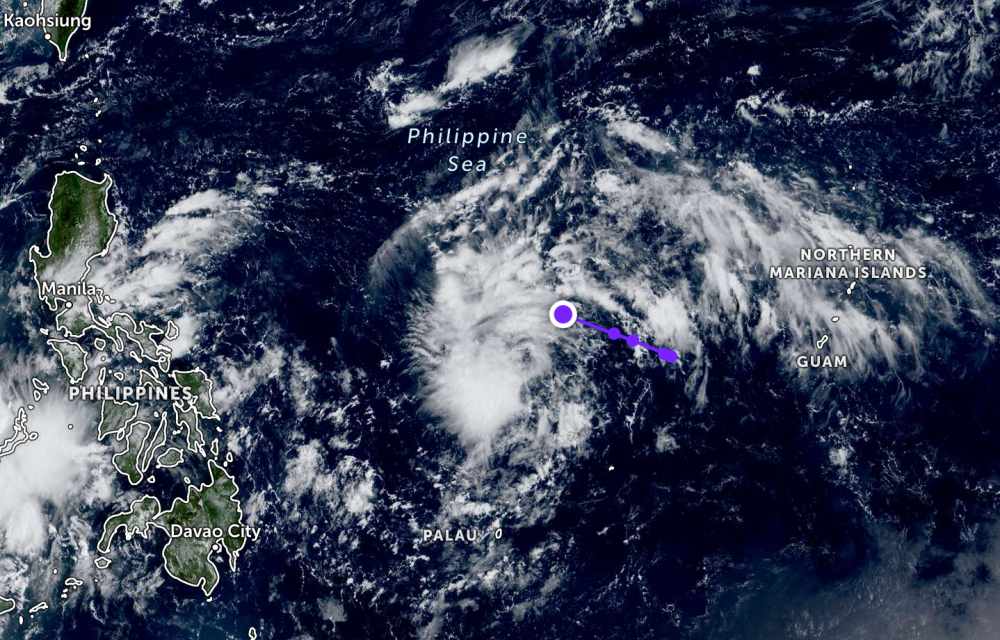
If it forms, it will be named Paolo and become the 16th storm to enter the PAR in 2025.
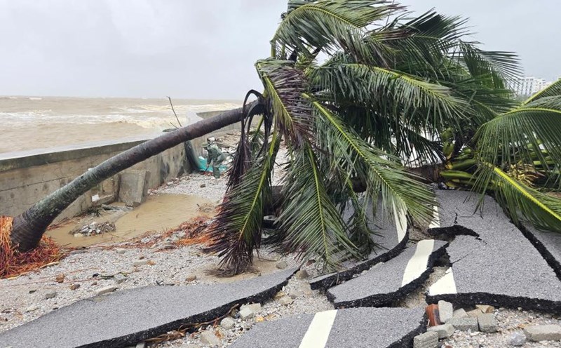
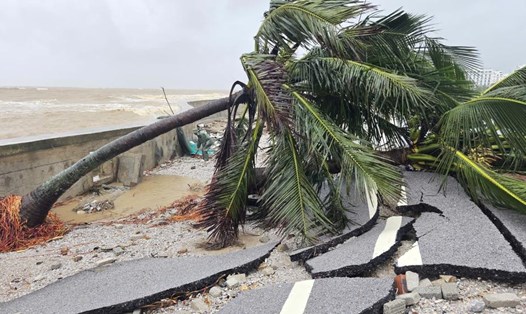
According to the National Center for Hydro-Meteorological Forecasting, on the morning of September 30, the sea area north of the Gulf of Tonkin had strong winds of level 6, gusting to level 7-8. The sea is rough, from the wind gradually decreases. Waves are 2-4 m high.
In addition, on the day and night of September 30, in the Gulf of Tonkin, the sea area from Lam Dong to Ca Mau, Ca Mau to An Giang, the Gulf of Thailand, there will be scattered showers and thunderstorms. During thunderstorms, there is a possibility of tornadoes, strong gusts of wind of level 6-7 and waves over 2 m high.
On the night of September 30, the wind in the Gulf of Tonkin will continue to decrease. Sea natural disaster risk level: level 2.
All ships operating in the above areas are at high risk of being affected by strong winds and large waves.
People and tourists planning to visit this coastal area should pay attention to weather forecasts. Tuan follows local instructions to ensure safety.