According to the storm forecast from the Philippine Atmospheric, Geophysical and Astronomical Services Administration (PAGASA), it is continuing to monitor a tropical storm with the international name Mun, outside the Philippine Area of Responsibility (PAR).
The storm's name Mun comes from the Yap language (Micronesia), meaning "June".
The storm formed from a tropical depression on July 2 in the southeastern part of Japan.
Currently, storm Mun is moving north-northeast at a speed of 15km/h. The storm has the strongest winds near the center of about 65km/h, gusts reaching 95km/h.
Typhoon Mun is not expected to directly impact land, according to the Japan Meteorological Agency JMA.
However, in the next 24-48 hours, the storm is likely to continue to strengthen, with maximum winds of 130km/h.
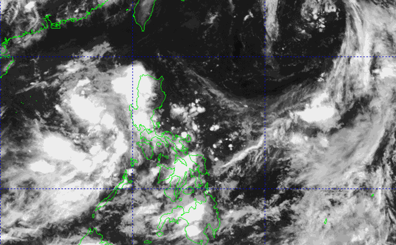
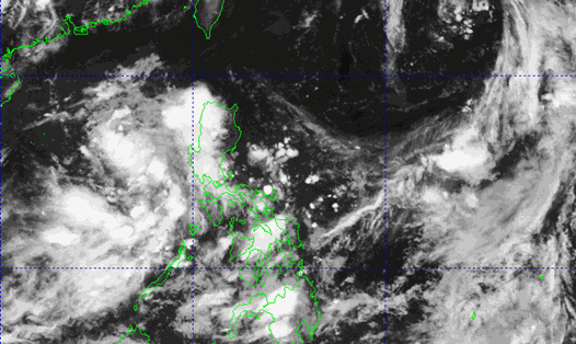
In addition to Typhoon Mun, a low pressure is developing slowly near the northern tip of Luzon Island (Philippines).
The low pressure area is causing widespread rain combined with the southwest monsoon.
PAGASA has reduced its forecast of the possibility of the low pressure forming a storm from high to medium. If it develops into a tropical depression, the system will be locally named Bising.
Tourists in the Philippines and destinations on the southeastern coast of Japan should pay attention to weather forecasts, updates on flights, trains and comply with recommendations from local authorities.
Meanwhile, on July 3, showers and thunderstorms are occurring in the Gulf of Tonkin; The sea area from South Quang Tri to Quang Ngai; The North and Central East Sea (including Hoang Sa special zone); The sea area from South Quang Tri to Quang Ngai; The sea area from Lam Dong to Ca Mau; From Ca Mau to An Giang and the Gulf of Thailand.
All ships operating in the above areas are at risk of being affected by tornadoes, strong gusts of wind and big waves.