The tropical depression caused floods as the southern part of China is still recovering from Typhoon No. 1 Wutip two weeks ago.
According to the China Meteorological Administration, the tropical depression will move from Xiong City, crossing the northeasternmost part of Hainan Island.
The tropical depression then continued to return to the sea and made a second landfall in the Lusi Peninsula, Guangdong Province, southern China. The low pressure area will then gradually weaken, according to CCTV.
According to the National Center for Hydro-Meteorological Forecasting, on the afternoon of June 26, the tropical depression had the strongest wind near the center at level 6 (39-49km/h), gusting to level 8; moving northwest at a speed of about 15km/h.
It is forecasted that by the afternoon of June 27, the tropical depression will continue to move northwest, at a speed of about 10-15km/h and gradually weaken into a low pressure area. The center of the low pressure is currently over Guangxi province, China. Intensity below level 6.
In the afternoon and evening of June 26, the northwestern sea area of the North East Sea will have thunderstorms and strong winds of level 6, gusts of level 8, rough seas.
Waves are 2.0-3.0m high. Ship operating in the above-mentioned dangerous areas are likely to be affected by thunderstorms, whirlwinds, strong winds, and large waves.
The tropical depression does not directly affect the weather on land in Vietnam.
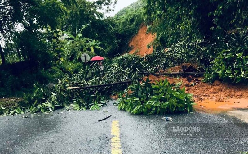
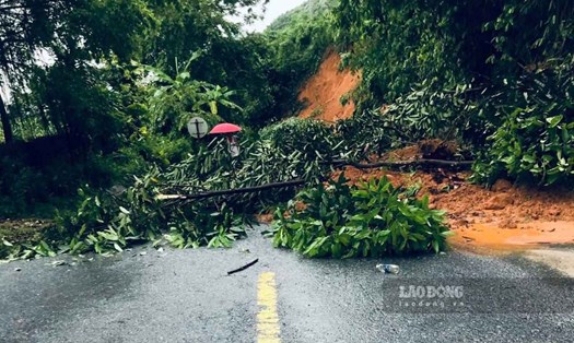
However, from the night of June 26 to June 28, the Northwest and Viet Bac regions of the North will continue to have moderate rain, heavy rain and thunderstorms, locally very heavy rain. The common rainfall is about 30-80mm, locally over 250mm, concentrated in the late afternoon and night.
Tourists planning to travel to China in areas such as Hainan Island, Guangdong Province, Guangxi... in the coming days should pay special attention to complicated weather developments due to the influence of the tropical depression.
Heavy rain can cause localized flooding, landslides or traffic disruption, especially in coastal tourist destinations, mountainous areas or areas with weak drainage systems.
Tourists should regularly update weather forecast information from official sources, follow the instructions of local authorities and consider adjusting their schedule.
Avoid moving or participating in outdoor activities during bad weather to ensure safety.
Earlier, in mid-June, when Typhoon No. 1 Wutip swept through the area, five people were killed and hundreds of thousands were forced to evacuate. The first storm of 2025 caused record-breaking rainfall, damaging roads and farmland.