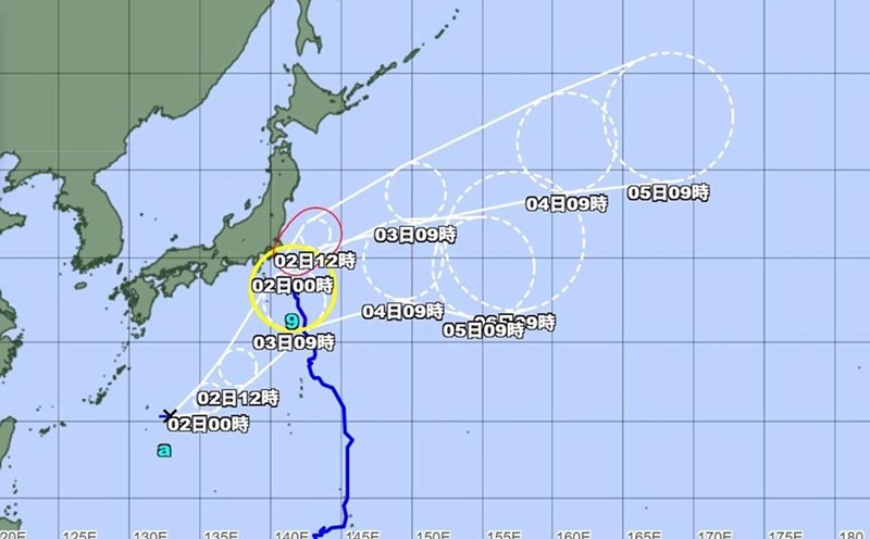
According to new storm news from the Joint Typhoon Warning Center (JTWC), in the early morning of August 3, the tropical depression with the symbol 13W (called Fabian by the Philippines) officially strengthened into a storm.
The tropical storm near the South China Sea is currently located about 483 km south of Yokosuka, Japan. In the past 6 hours, the storm has been moving north-northeast at a speed of about 30 km/h. The strongest wind near the center of the storm reached 65 km/h, with waves 5.5 m high.
It is forecasted that in the next 2 days, the storm will move northwest and continue to strengthen. The strongest wind near the center of the storm could reach 75 km/h tomorrow, August 4.
In the next 36 to 48 hours, Typhoon 13W is forecast to slow down, wind intensity and weaken into a tropical depression on Thursday (August 6.
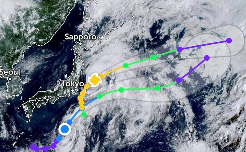
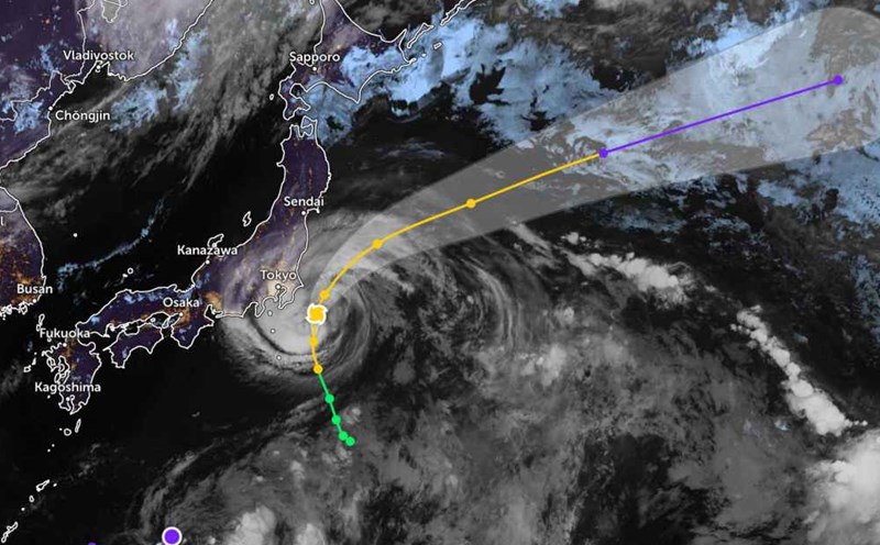
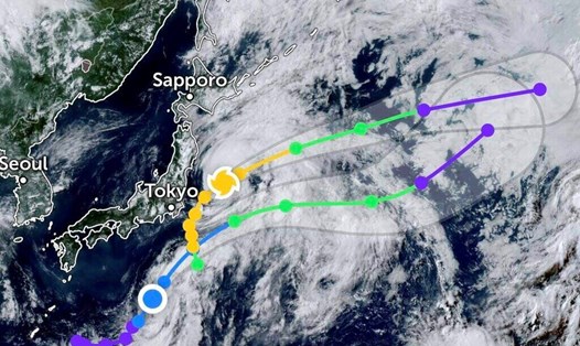
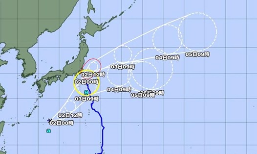
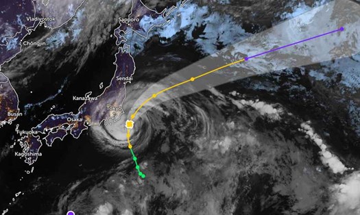
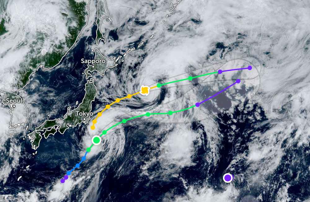
Meanwhile, Typhoon Krosa is still moving in the sea off Misawa, Japan, about 593 km east-southeast. The storm is moving in an East-Northeast direction at a speed of 31 km/h. The strongest wind near the center of the storm reached 100 km/h, the wave height reached 8.5 m.
It is forecasted that Krosa will continue moving in the East - Northeast direction. Over the next 36 hours, Krosa will begin to weaken and become a tropical depression.
Wind speeds are expected to drop to 65 km/h over the next two days.
In the East Sea, according to the National Center for Hydro-Meteorological Forecasting, in the early morning of August 3, the northern sea area of the North East Sea will have scattered showers and thunderstorms.
It is forecasted that today and tonight, the sea area north of the North East Sea will have strong southwest winds of level 6, gusting to level 7-8. Rough seas, waves 2.0-3.5m high, scattered thunderstorms. During thunderstorms, there is a possibility of tornadoes and strong gusts of wind.
During the day and night of August 4, the northern sea area of the North East Sea will have strong southwest winds of level 5, sometimes level 6, gusting to level 7. Rough seas, waves 2.0-3.5 m high.
People and tourists planning to visit these coastal areas should pay attention to weather forecasts. Check flight schedules and follow local instructions to ensure safety throughout the journey.