According to storm news, the latest low pressure from the Joint Typhoon Warning Center (JTWC), the tropical depression in the Pacific Ocean is about to strengthen into a storm.
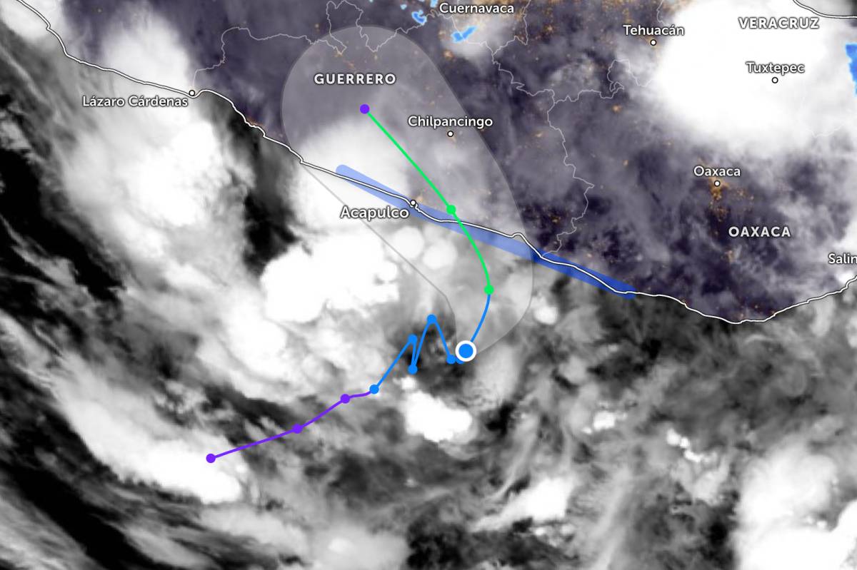
As of noon on June 8, the center of the tropical depression is located in the Northeast Pacific region. The tropical depression is moving slowly at a speed of about 4 km/h in the Northeast direction. The strongest wind near the center of the low pressure reaches 55 km/h and is continuing to strengthen.
The tropical depression is forecast to strengthen into a storm before entering the mainland of Mexico. The center of the tropical depression will enter the coastal area of southern Mexico at the end of June 9.
After going deep inland, the system will quickly weaken due to the impact of the rugged high mountain terrain.
Due to the impact of a tropical depression about to strengthen into a storm, southern Mexico is likely to experience very heavy rain, causing severe flooding and flash floods. The risk of landslides is also high, especially in hilly areas with steep terrain.
In addition, tropical storm conditions are forecast to affect coastal areas within Mexico's tropical storm warning area from June 9.
People and tourists are advised to closely monitor forecast bulletins and proactively take measures to prevent natural disasters. Avoid going to sea when the sea is rough to ensure safety throughout the journey.


