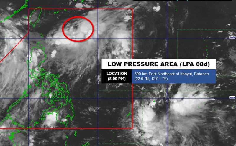
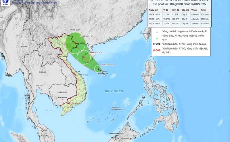
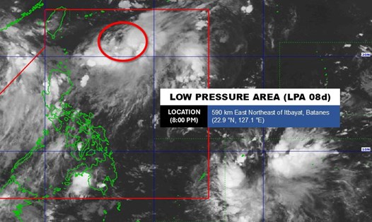
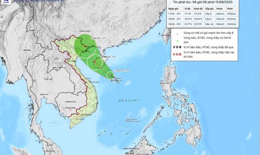
According to the National Center for Hydro-Meteorological Forecasting, at 7:00 a.m. on August 18, the center of the tropical depression was at about 18.8 degrees North latitude - 108.4 degrees East longitude, in the sea east of the Gulf of Tonkin, about 135 km southeast of Bach Long Vi.
The strongest wind near the center of the tropical depression is level 6-7 (39-61 km/h), gusting to level 9. The tropical depression is moving northwest at 15 km/h.
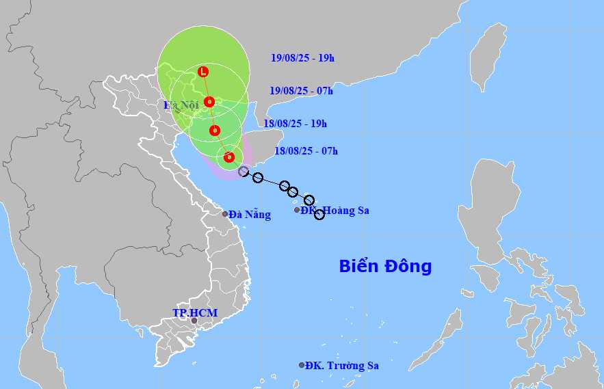
It is forecasted that by 7:00 a.m. on August 19, the tropical depression will move northwest at a speed of about 15 km/h. The center of the tropical depression is located at about 21.5 degrees North latitude - 107.4 degrees East longitude, on Quang Ninh - Lang Son.
The strongest wind near the center of the tropical depression is level 6, gusting to level 8. Natural disaster risk level: level 3 in the sea area southeast of Quang Tri, Gulf of Tonkin (including Bach Long Vi, Co To).
By 7:00 p.m. on August 19, the tropical depression moved North-Northwest at 15 km/h, weakening into a low pressure area. The center of the low pressure is located at about 23.0 degrees North latitude - 107.1 degrees East longitude, on the Vietnam - China border.
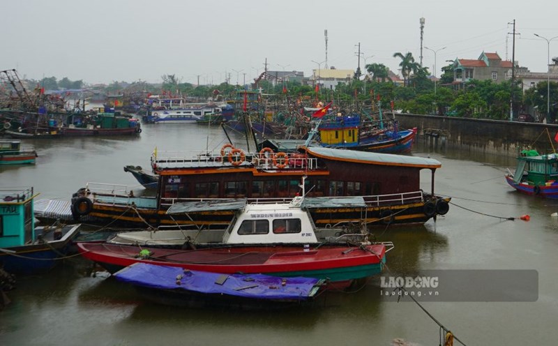
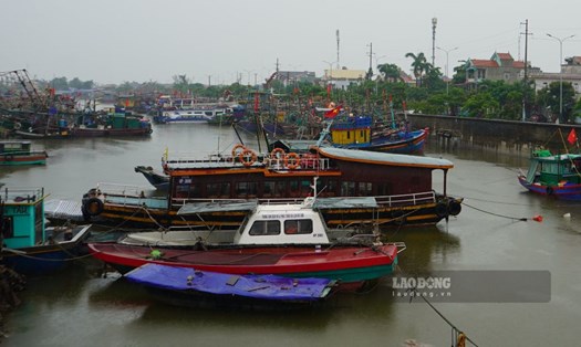
Due to the influence of the tropical depression, the sea area southeast of Quang Tri, the Gulf of Tonkin (including Bach Long Vi, Co To) has winds of level 6-7, gusting to level 9. Waves are 2.0-3.5m high, rough seas.
Ship in the danger zone are likely to be affected by thunderstorms, tornadoes, strong winds, and large waves.
On land, from the afternoon of August 18, the coastal area of Quang Ninh - Hai Phong will have strong winds of level 6, gusting to level 8. From August 18-20, the Northeast and Thanh Hoa regions will have moderate rain, heavy rain, some places will have very heavy rain of 50-150mm, locally over 300mm.
On the day and night of August 18, Nghe An will have moderate rain, heavy rain of 30 - 60mm, locally over 120mm. On August 18, Ha Tinh and Quang Tri areas will have moderate rain, heavy rain 20-50mm, locally over 100mm.
People and tourists in these areas should pay attention to weather forecasts. Tuan follows local instructions to avoid dangerous storms.