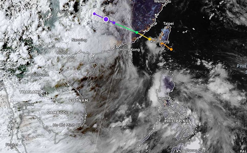
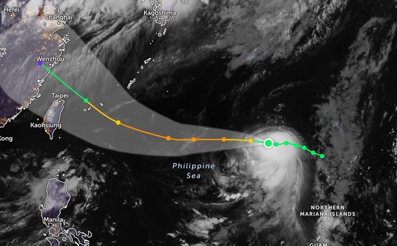
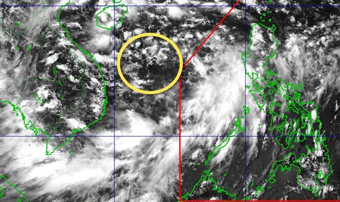
According to the National Center for Hydro-Meteorological Forecasting, at 1:00 p.m. on August 16, a low pressure area was moving in the central East Sea. The center of the low pressure is located at about 14.515.5 degrees North latitude; 112.0113.0 degrees East longitude. At Huyen Tran station, there were strong southwest winds of level 6, gusting to level 89.
It is forecasted that on the night of August 16 and 17, the low pressure area in the Central East Sea will move northwest and is likely to strengthen into a tropical depression.
Due to the influence of the low pressure, the area from Khanh Hoa to Ho Chi Minh City, the Central and South East Sea (including Truong Sa special zone) will have strong winds of level 6, gusting to level 7-8. Rough seas, waves 2.0-3.5m high.
In Hoang Sa special zone, there are strong winds of level 6, gusting to level 7-8. Rough seas, waves 2.0-3.5m high.
In addition, the Gulf of Tonkin, the sea area from South Quang Tri to Ca Mau, Ca Mau to An Giang, the Gulf of Thailand, the North, Central and South East Sea (including the special areas of Hoang Sa and Truong Sa) will have scattered showers and thunderstorms. During thunderstorms, there is a possibility of tornadoes, strong gusts of wind and waves over 3.5m high.
Warning on the night of August 17 and August 18, the sea area from Lam Dong to Ho Chi Minh City, the Central and South East Sea (including Truong Sa special zone) will have strong southwest winds of level 5, sometimes level 6, gusting to level 78. Waves are 1.53.5m high, rough seas.
The sea area west of the North East Sea (including Hoang Sa special zone) has strong winds of level 6, gusting to level 78; waves 2.03.5m high, rough seas.
The risk level of natural disasters due to strong winds at sea in the sea area from Khanh Hoa to Ho Chi Minh City is level 2.
All ships operating in the above areas are at high risk of being affected by tornadoes, strong winds and big waves.
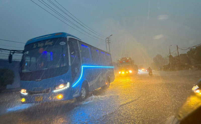
People and tourists planning to visit these coastal areas should pay attention to weather forecasts. Tuan followed local instructions to ensure safety throughout the journey.