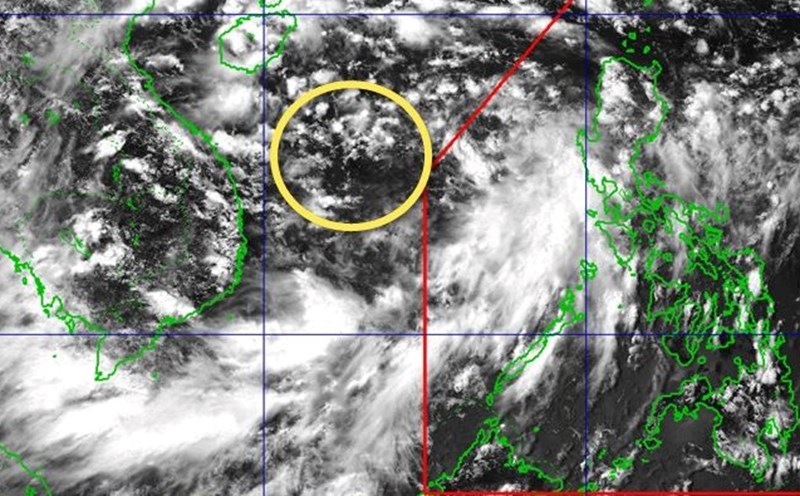
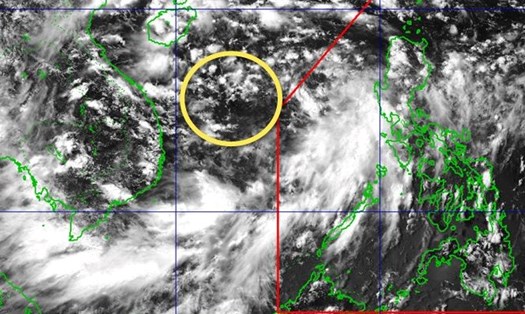
According to the National Center for Hydro-Meteorological Forecasting, as of 7:00 a.m. on August 17, the center of the low pressure was at about 17.1 degrees North latitude - 111.5 degrees East longitude, in the northwest sea of the Hoang Sa special zone. The strongest wind near the center of the low pressure reaches level 6 (39-49km/h), gusting to level 8.
The tropical depression is moving northwest at a speed of 10-15km/h.
It is forecasted that by 7:00 a.m. on August 18, the tropical depression will move northwest at a speed of about 15km/h. The center of the tropical depression is located at about 19.2 degrees North latitude - 108.9 degrees East longitude, on the mainland west of Hainan Island (China).
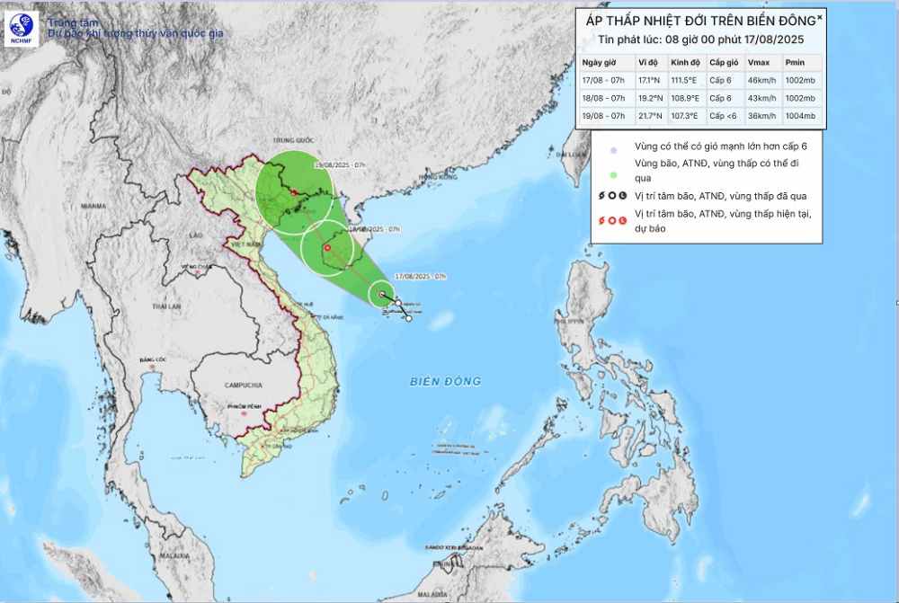
The strongest wind near the center of the tropical depression is level 6, gusting to level 8. Natural disaster risk level: level 3 for the western sea area of the North East Sea (including the Hoang Sa special forces sea area).
At 7:00 a.m. on August 19, the tropical depression moved North-Northwest at a speed of about 10-15km/h and gradually weakened into a low pressure area. The center of the low pressure is located at about 21.7 degrees North latitude - 107.3 degrees East longitude, in the Vietnam-China border area. The strongest wind near the storm center is below level 6. Natural disaster risk level: level 3 for the Gulf of Tonkin.
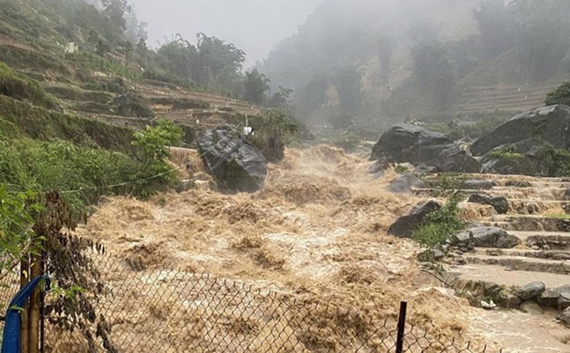
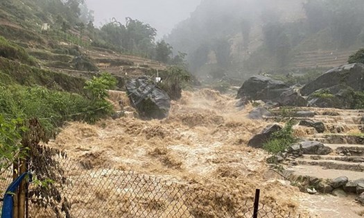
Due to the impact of the tropical depression, the sea area west of the North East Sea (including the sea area of Hoang Sa special zone) will have thunderstorms, strong winds of level 6-7, gusts of level 8-9. Waves are 2.0-3.5m high. Strong seas.
The Gulf of Tonkin area will have winds gradually increasing to level 6 and gusting to level 8 from early morning on August 18. Waves are 2.0-3.0m high. Rough seas.
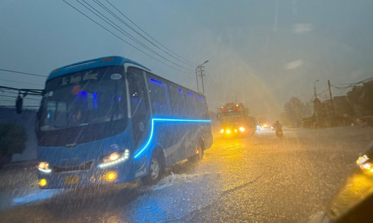
Ship operating in dangerous areas are likely to experience thunderstorms, whirlwinds, strong winds and large waves.
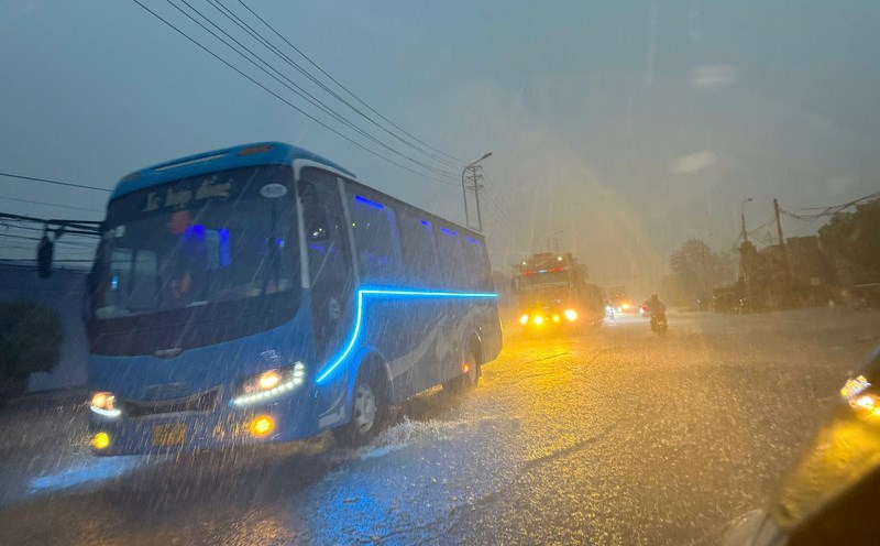
People and tourists to the above sea areas and areas affected by the tropical depression should pay attention to weather forecasts. Check flight schedules and follow local instructions to avoid impactful storms.