According to storm news, the latest low pressure from the Joint Typhoon Warning Center (JTWC), this afternoon March 28, Typhoon Narelle has weakened into a tropical depression.
The center of the tropical depression is currently located about 909 km south-southeast of Learmonth (Australia). In the past 6 hours, the depression has moved in the South-Southeast direction at a speed of 61 km/h.
The strongest wind near the center of the tropical depression reached 65 km/h, gusts of 100 km/h. The low pressure is expected to gradually weaken and dissipate after moving through mainland Australia to return to the Indian Ocean.
Although weakened, the tropical depression still risks causing damage to houses, infrastructure and energy, and leading to heavy rain and flash flood warnings as it moves southeast.
In the town of Exmouth, which is most severely affected, strong winds over 250km/h have blown off the roofs of many buildings and caused widespread flooding.
About 50 people had to be urgently evacuated from the shelter center because the building itself was damaged. Local residents said there had never been a similar drill situation, when the storm caused unexpected damage such as boats being blown into people's houses.
By the morning of March 28, when the wind began to weaken, damage reports were gradually recorded: many businesses were devastated, widespread power outages, and essential facilities such as food stores and gas stations were affected.
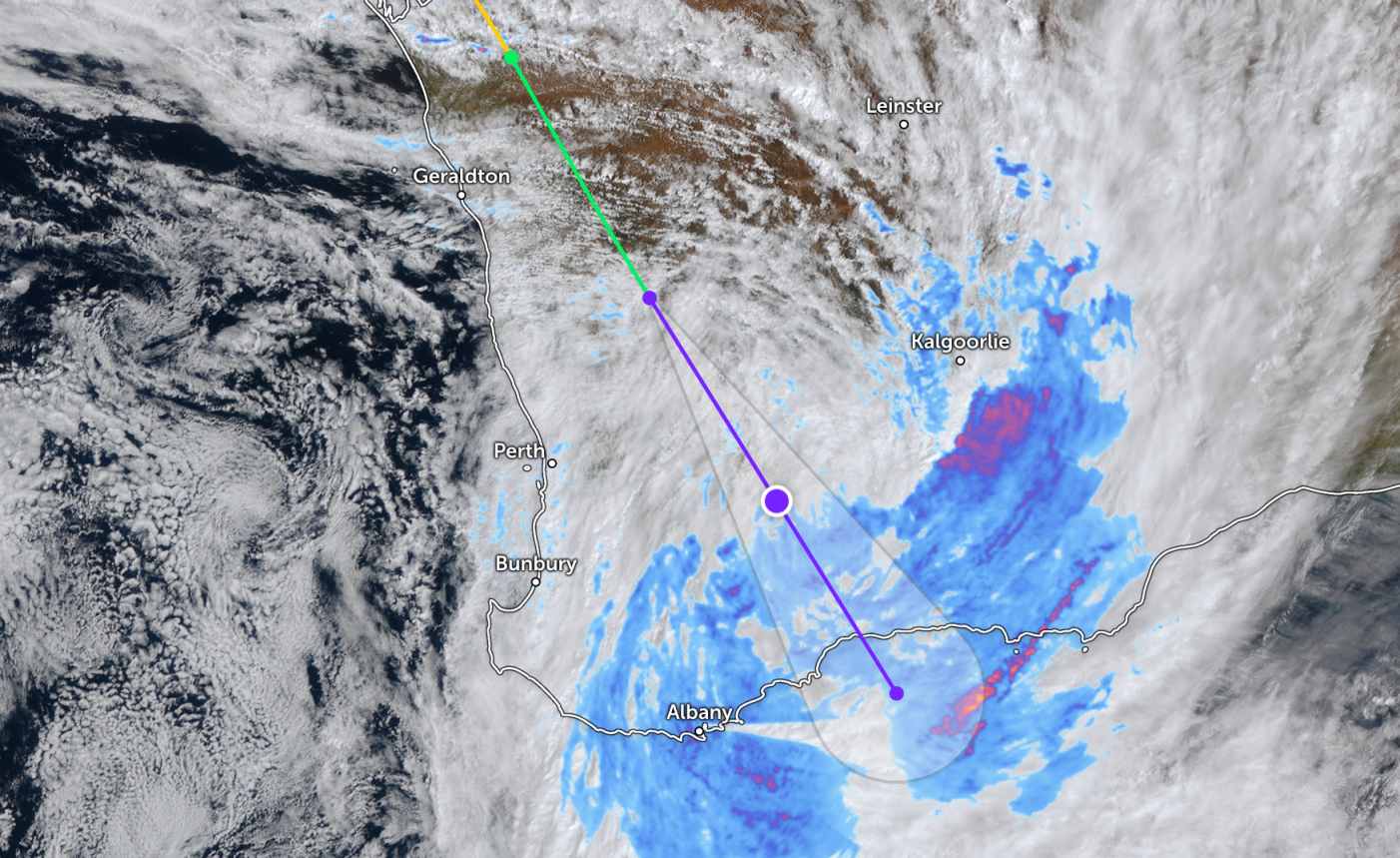
The tropical depression continues to move southeast, bringing heavy rain to the wheat growing area and Perth city. The meteorological agency forecasts that weather conditions will gradually improve from Sunday, March 29.
Tourists need to closely monitor the developments of the tropical depression as this system is moving rapidly in the South - Southeast direction with potentially changing intensity. The sea area in the area is likely to experience strong winds, large waves and bad weather, causing danger to maritime and marine tourism activities.
Tourists should limit going out to sea, comply with the instructions of functional agencies, and proactively update weather information to adjust their schedules accordingly, ensuring safety.


