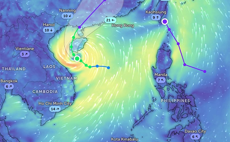
According to the new low pressure forecast from the Philippine Atmospheric, Geophysical and Astronomical Services Administration, a low pressure has been monitored in the Philippine Meteorological Responsibility Area (PAR) since 2:00 a.m. this morning, June 17, 2025.
At 3:00 a.m., the low pressure area was determined to be over the sea off the coast of Corcuera, Romblon, with coordinates of about 12.8 degrees North latitude and 122.1 degrees East longitude.
According to the forecast, in the next 24 hours, this low pressure is unlikely to develop into a tropical depression.
Due to the influence of the low pressure area, areas in the Philippines such as Metro Manila, CALABARZON, MIMAROPA, Bicol, Zambales, Bataan, Pampanga and Bulacan will have cloudy weather, scattered showers and thunderstorms. moderate to heavy rain can fall at certain times, causing the risk of flash floods or landslides, especially in areas with steep terrain and weak soil.
In the provinces of Isabela, Quirino and Aurora, the East wind is strong, causing cloudy conditions, scattered showers and thunderstorms. Similarly, moderate to heavy rain may occur, increasing the risk of flash floods and landslides in these areas. People need to be vigilant and closely monitor the latest weather information.
The sea weather is generally stable, ranging from mild to moderate, with waves from 0.6 to 1.8 meters high. However, it is necessary to be on guard against sudden gusts of wind during thunderstorms along the coast of the Philippines.
The low pressure has not yet affected the weather in Vietnam.
According to the National Center for Hydro-Meteorological Forecasting, the weather forecast from June 17 to June 18 for the North and Thanh Hoa: scattered showers and thunderstorms, locally heavy to very heavy rain (thunderstorms concentrated in the evening and at night); especially in mountainous areas, there will be rain, moderate rain locally heavy to very heavy rain.
The area from Nghe An to Phu Yen will have showers and thunderstorms in some places in the evening and at night; hot sunny days, some places with severe heat.
Other areas will have scattered showers and thunderstorms at night; sunny during the day, with scattered showers and thunderstorms in the afternoon and evening, with some places having heavy rain.
People and tourists in areas with thunderstorms need to proactively respond to the possibility of flash floods and landslides, limit going out during bad weather. Tourists should check weather information before traveling, especially when going to coastal areas, islands or mountainous areas.