According to the new low pressure forecast bulletin from the Philippine Atmospheric, Geophysical and Astronomical Services Administration ( pagasa), at 3:00 p.m. today, a low pressure was detected in the sea off the coast of San Juan, Batangas province, at coordinates of about 13.7 degrees North latitude, 121.6 degrees East longitude.
The low pressure combined with the East wind continues to cause showers and thunderstorms in many areas of the Philippines.
In Metro Manila, CALABARZON, Bicol region, Oriental Mindoro, Marinduque, Romblon, Zambales, Bataan, Pampanga and Bulacan, the sky is cloudy with scattered showers and thunderstorms, due to the influence of low pressure areas. During moderate to heavy rains, people need to be on guard against the risk of flash floods and landslides, especially in mountainous areas and along rivers.
It is forecasted that there may be moderate to heavy rain, local thunderstorms in a short time, causing the risk of local flooding, flash floods and landslides, especially in places with steep terrain; accompanied by strong gusts of wind, thunderstorms...
Tourists coming to the Philippines need to pay attention to the weather in many areas where there will be thunderstorms, especially at destinations such as CALABARZON, Bicol, Romblon or coastal areas such as Zambales, Bataan.
Limit outdoor activities in the late afternoon or during the rainy season.
Visitors should avoid swimming, mountain climbing or camping in high mountains, along rivers or near the coast with bad weather warnings.
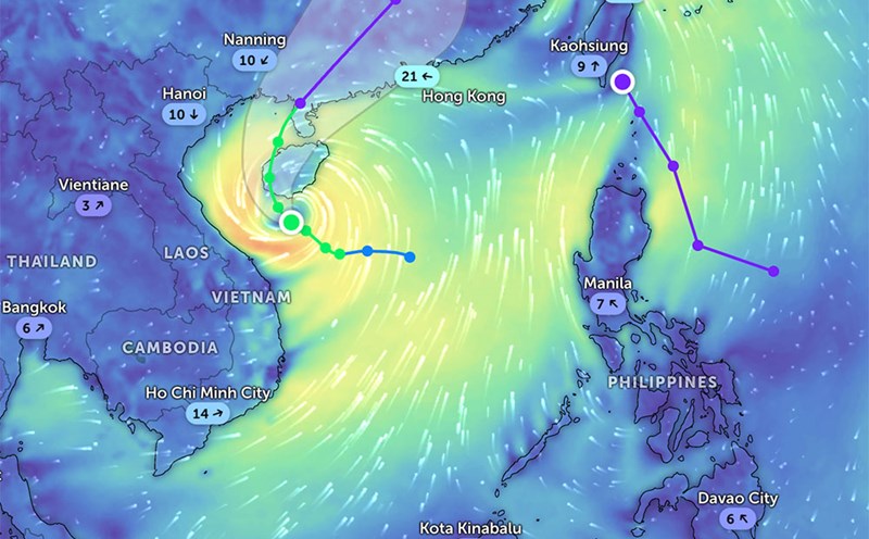
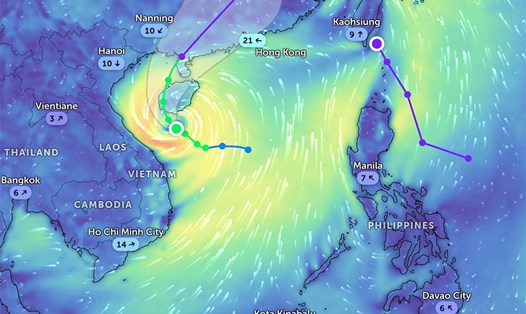
Currently, the low pressure has not affected the weather at sea in Vietnam.
According to the National Center for Hydro-Meteorological Forecasting, the sea weather forecast for the night of June 17 and June 18 is that some sea areas will have rain.
Northern Gulf of Tonkin: Scattered showers at night, scattered showers during the day. During thunderstorms, tornadoes and strong gusts of wind may occur. South to southeast wind level 4-5, waves 1.5 - 2.5m high, long-term vision reduced to 4-10km in rain.
South Gulf of Tonkin: There are showers in some places, with a distance of over 10km. South to southeast wind level 4-5, waves 1.0 - 2.0m high.
From Quang Tri to Quang Ngai: No rain, good visibility over 10km. Southeast wind level 4-5, waves 1.0 - 2.0m high.
From Binh Dinh to Ninh Thuan: No rain, southwest winds to level 4-5. A view of over 10km from afar, with waves 0.75 - 1.75m high.
From Binh Thuan to Ca Mau: Scattered showers, thunderstorms in some places. Risk of tornadoes and strong gusts of wind in rain. Southwest wind level 4, waves 0.5 - 1.5m high.
From Ca Mau to Kien Giang: Scattered showers, thunderstorms in some places. Light wind, waves 0.5 - 1.5m high. Note for tornadoes and thunderstorms.
North East Sea: Showers and thunderstorms in some places. South to southeast wind level 4-5, waves 1.5 - 2.5m high, long-term vision over 10km.
Hoang Sa archipelago: Clear sky, no rain. South to southeast wind level 4-5, waves 1.0 - 2.0m high.
Central East Sea: There will be showers and thunderstorms in some places. South to southwest wind level 3-4, waves 1.0 - 2.0m high, good visibility.
South East Sea: Scattered showers, thunderstorms in some places with the risk of tornadoes and strong gusts of wind. Southwest wind level 3-4, waves 0.5 - 1.5m high.
Truong Sa archipelago: The weather is similar to the South China Sea with scattered showers, thunderstorms, southwest winds of level 3-4, waves 1.0 - 2.0m high.
Gulf of Thailand: Scattered showers, thunderstorms. During thunderstorms, beware of tornadoes and strong gusts of wind. Light wind, waves 0.5 - 1.5m high.
Fishermen, tourists and boats operating at sea need to pay attention to the risk of dangerous weather during thunderstorms such as tornadoes and strong gusts of wind. Regularly update meteorological bulletins and limit going out to sea if the weather is bad.