According to storm news, the low pressure from the Joint Typhoon Warning Center (JTWC), a low pressure is strengthening in the Pacific Ocean.
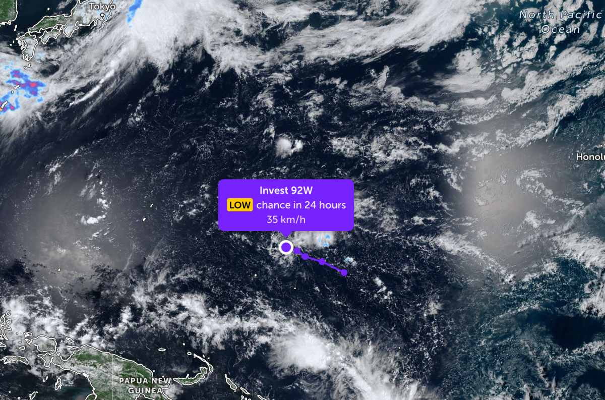
As of this morning, June 15, the center of low pressure Invest 92W is currently located in the Northwest Pacific region. The strongest wind near the center of the low pressure reaches 35 km/h, gusting up to 45 km/h.
The maximum sustained wind near the center is about 35-45 km/h. However, the low pressure is unlikely to develop into a tropical depression or storm in the next 24 hours.
Meanwhile, a new low pressure area is operating in the South Pacific region.
The low pressure bearing the symbol Invest 96P is currently operating near Vanuatu in the South Pacific. The strongest wind near the center of the low pressure reaches 75 km/h. The low pressure is unlikely to develop strongly into a tropical depression or storm in the next 24 hours.
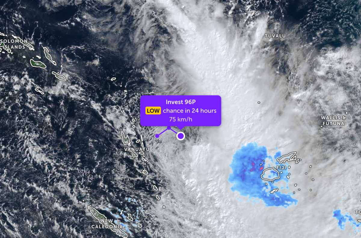
Because it is still quite far from the mainland, the low pressure does not affect the adjacent mainland areas.
In the sea areas of Vietnam, according to the National Center for Hydro-Meteorological Forecasting, on June 15, showers and thunderstorms appeared in many areas.
In the area north of the Gulf of Tonkin and the North East Sea, there are thunderstorms, with the risk of tornadoes at sea. South to Southwest wind level 5, sometimes level 6, gusts level 7-8, rough seas, waves 1.5-2.5m high.
The area south of the Gulf of Tonkin, the sea area from Lam Dong to Ca Mau, Ca Mau to An Giang, the Gulf of Thailand, the South East Sea and the Truong Sa special zone have scattered showers, locally thunderstorms, posing a risk of tornadoes and strong gusts of wind. Sea waves are commonly from 0.5-2.0m, and may be higher during thunderstorms.
The sea areas from South Quang Tri to Quang Ngai, Gia Lai to Khanh Hoa and Hoang Sa special zone have showers and thunderstorms in some places, visibility over 10km. The central East Sea area has scattered thunderstorms in the East, it is necessary to prevent tornadoes and strong gusts of wind.
Fishermen and tourists traveling on vehicles operating at sea need to closely monitor weather developments to proactively prevent dangerous weather.


