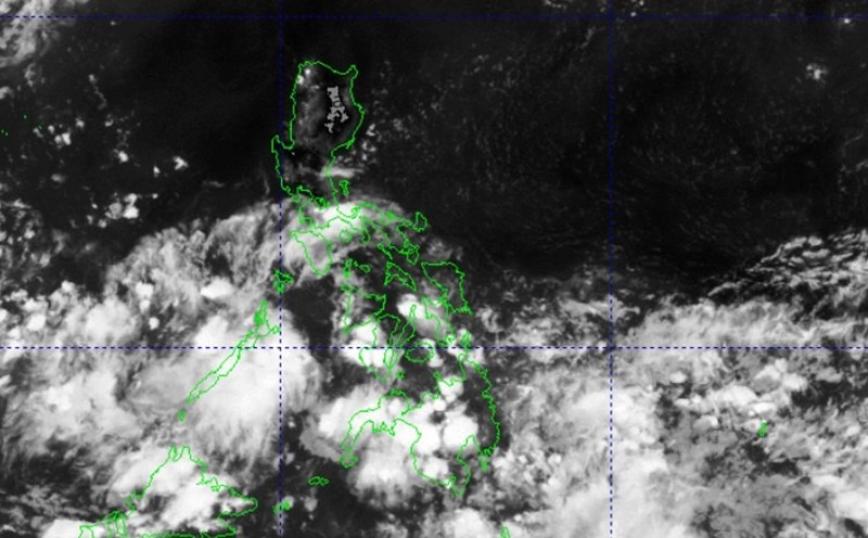
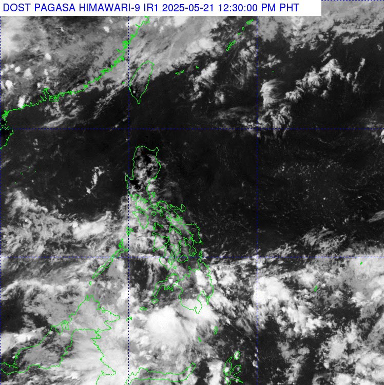
The low pressure in the East Sea has weakened, according to the bulletin of the Philippine Atmospheric, Geophysical and Astronomical Services Administration (PAGASA) at 8:00 a.m. on May 21 (local time).
Previously, at 2:00 a.m. on May 21 (local time), the low pressure was determined to be at about 10.1 degrees North latitude, 111.0 degrees East longitude, about 375km West Southwest of Truong Sa archipelago.
Although the low pressure has dissipated, the meteorological agency forecasts thunderstorms, tornadoes and gusts of wind in some coastal areas of Vietnam.
According to the National Center for Hydro-Meteorological Forecasting, this morning, May 21, the South China Sea will have scattered showers and thunderstorms.
Forecast for the next 24 hours, afternoon and night of May 21, scattered showers and thunderstorms in the sea area from Binh Thuan to Ca Mau, Ca Mau to Kien Giang, the South East Sea area (including the Truong Sa archipelago), the Gulf of Thailand.
Warning of the possibility of tornadoes and strong gusts of wind of level 6-7.
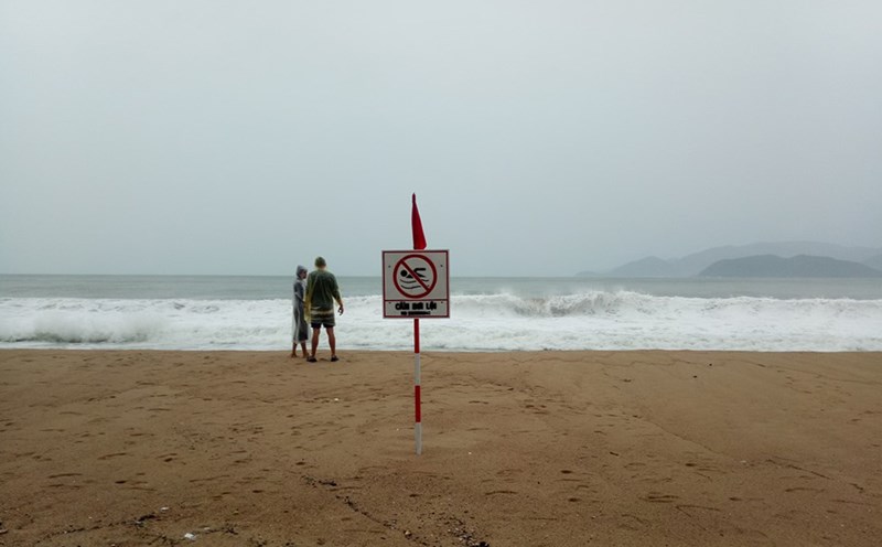
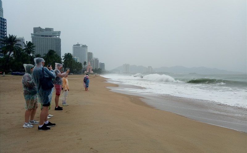
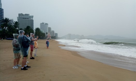
Day and night of May 21, 2025, according to the forecast of the National Center for Hydro-Meteorological Forecasting, the weather in many coastal areas across the country will have scattered showers and thunderstorms, accompanied by the risk of tornadoes and strong gusts of wind.
The North and South Gulf of Tonkin, the sea area from Quang Tri to Quang Ngai, as well as the North East Sea and Hoang Sa archipelago will have scattered showers and thunderstorms, with a long view of over 10km, south to southeast winds at level 3-5, waves from 0.5 - 2.0m high.
Meanwhile, the sea areas from Binh Dinh to Ninh Thuan, from Binh Thuan to Ca Mau, Ca Mau to Kien Giang, the central and southern East Sea, including Truong Sa archipelago, as well as the Gulf of Thailand, will have scattered showers and thunderstorms.
High waves range from 0.5 - 1.5m, especially in Ca Mau - Kien Giang and the Gulf of Thailand, the waves are lower, about 0.5 - 1.0m.
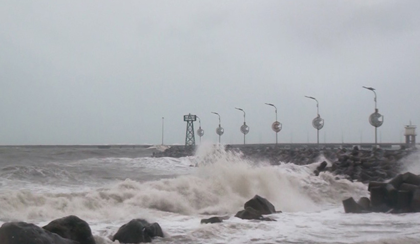
Coastal residents, fishermen, boats operating offshore and tourists need to pay special attention to the possibility of dangerous weather in thunderstorms.
Closely monitor weather forecasts, limit going out to sea or organize activities at sea in bad weather conditions to ensure safety for people and vehicles.