According to the latest weather forecast, a low pressure area has been detected within the Philippine Area of Responsibility (PAR).
This low pressure is difficult to do to develop into a tropical depression within the next 24 hours, the Philippine Atmospheric, Geophysical and Astronomical Services Administration (PAGASA) forecasts.
At 3:00 p.m. on May 19, the location of the low pressure area was determined to be about 200 km west-southwest of Aborlan, Palawan. This low pressure area is located along the tropical convergence zone.
In the latest weather forecast, the National Meteorological Agency said that due to the influence of the tropical convergence zone and low pressure, Mindanao and Palawan are expected to have many clouds, scattered showers and thunderstorms.
Meanwhile, Eastern Samar, Leyte and Southern Leyte provinces will also maintain similar weather conditions due to the influence of the easterly winds.
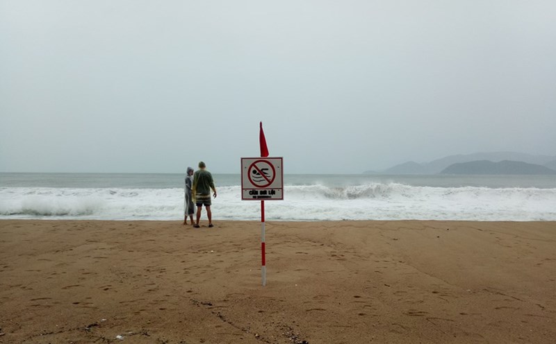
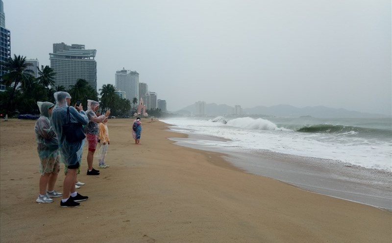
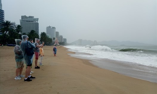
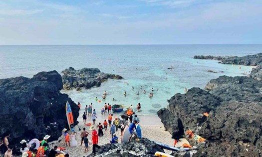
People and tourists in affected areas need to be on guard against strong thunderstorms that can cause flash floods and landslides.
According to the National Center for Hydro-Meteorological Forecasting, on May 20, the sea weather will have scattered showers and thunderstorms in many areas. The North and South Gulf of Tonkin, the sea area from Binh Thuan to Ca Mau, from Ca Mau to Kien Giang, the central and southern East Sea, Truong Sa archipelago and the Gulf of Thailand are likely to experience tornadoes and strong gusts of wind in thunderstorms.
The view from a distance is generally over 10km, down to 4-10km when it rains. Winds in coastal areas are generally mild to level 4-5, with waves 0.5 - 2.0m high. In particular, the Hoang Sa archipelago and the sea area from Binh Dinh to Ninh Thuan have stable weather, no rain, light winds, a long view of over 10km.
People, tourists and boats operating at sea need to pay special attention to weather developments to ensure safety.