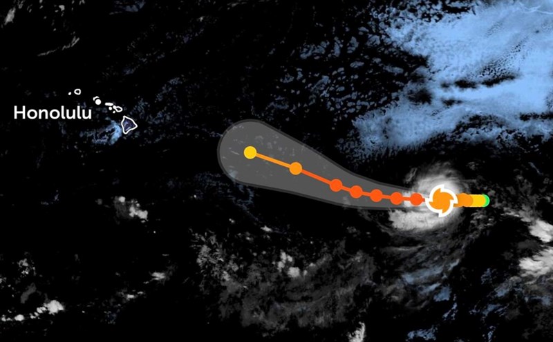
According to the latest storm information from the Joint Typhoon Warning Center (JTWC), tropical depression Peipah is currently about 696 km south of Iwakuni City (Japan), moving north-northwest at a speed of 22 km/h. The highest waves were recorded at about 4.6 meters.
It is forecasted that around this afternoon, the tropical depression will officially strengthen into storm Peipah.
Typhoon Peipah is unlikely to enter the South China Sea.
In the next 12 hours, the storm will continue to move north, then start to slowly change direction to the northeast for the next 12 - 36 hours, then move east after 36 hours.
During this time, the storm is likely to strengthen slightly thanks to warm sea surface temperatures and favorable temporary atmospheric conditions.
After 36 - 48 hours, Peipah's circulation is forecast to enter a strong low pressure trough forming in the central region of Japan. At that time, the storm will gradually weaken and turn into a low pressure area.
The direction and intensity of Typhoon Peipah are unlikely to be more accurately predicted as the storm's circulation is drawn into the developing low pressure area.
The maximum intensity of Peipah is forecast to reach 95 - 130 km/h winds.
In the coming days, the southern and central sea areas of Japan will have big waves, strong winds, and dangerous weather. Tourists planning to travel by sea or water should closely monitor warning bulletins and consider adjusting their schedules to ensure safety.