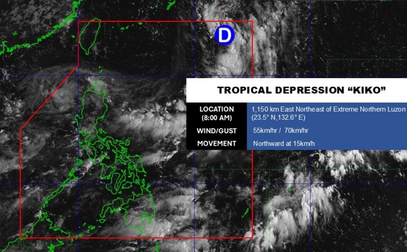
According to the latest storm information from the US National Hurricane Center (NHC), Hurricane Kiko is currently maintaining its strong intensity with maximum winds of about 165 km/h, moving west at a speed of 8 km/h.
Hurricane Kiko is moving over wide waters, about 2,800 km east of Hilo Island (Hawaii).
The latest satellite images show that the eye of the storm is starting to form clearly, surrounded by a very strong area of thunderstorms.
In the next 2-3 days, Kiko is forecast to continue to strengthen and may reach the level of a strong storm as it continues to move over the warm sea of 27-28°C and is less affected by high-altitude wind shear.
Maximum winds may reach 195km/h in the next 24-36 hours. Forecast track of the storm towards Honolulu, Hawaii (USA).
Then, as it moves into colder waters, the storm will gradually weaken but still maintain a dangerous storm level.
The risks that tourists need to pay attention to are that strong gusts of wind can damage the structure and obstruct traffic in affected areas. Prolonged heavy rains pose a risk of flash floods, landslides and localized flooding. High waves, rough seas, with the risk of coastal waves.
It is recommended that tourists should closely monitor updated weather reports from official forecasters.
Limit travel, especially at sea or in landslide-prone mountainous areas.
Prepare a safety plan, ensure food sources, drinking water and communication equipment in case of emergency.


