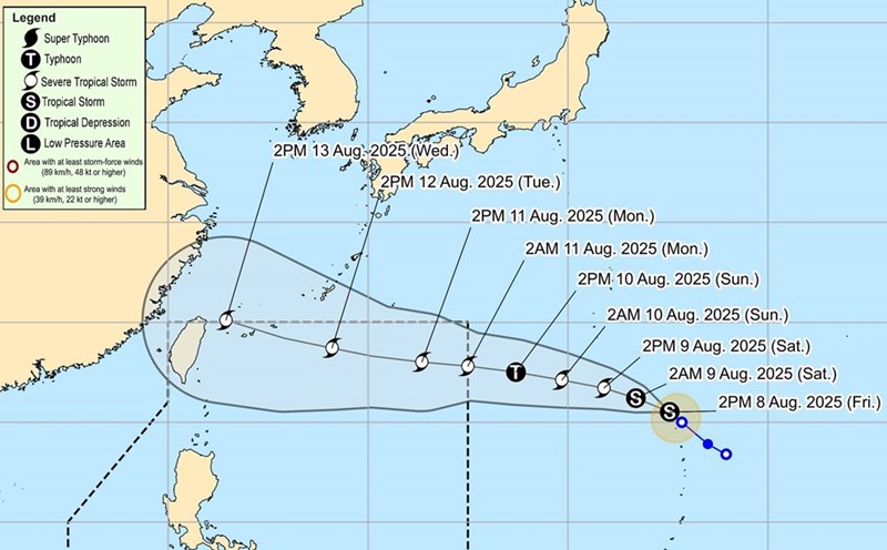
According to the latest storm information from the Joint Typhoon Warning Center (JTWC), the forecast path of tropical storm Podul moves south of Okinawa, Japan.
Typhoon Podul is forecast to move more than 400 km south of the island by the afternoon of August 12.
At 9:00 p.m. yesterday (local time), the center of Typhoon Podul was about 1,780 km east-southeast of Kadena (Okinawa) and 790 km north of Guam.
The storm is moving west-northwest at a speed of about 10-15 km/h, with sustained winds of 80 km/h, gusting up to 105 km/h. Waves up to 6.7m high near the center of the storm.
US bases in Okinawa remain seasonally ready for hurricanes at level 4 through the evening of August 15.
If it keeps moving, Podul will continue west-northwest for the next 1.5 days, then slightly turn west and move almost straight west.
The storm is forecast to reach the intensity equivalent to level 1 on the Saffir-Simpson hurricane scale when it reached its closest point to Okinawa (420 km south of Kadena) at around 4:00 p.m. on August 12.
The storm will then head towards northern Taiwan (China). At this time, the wind speed near the center can reach 120-140km/h.
Forecast models still show a wide range of potential impacts, from the northern Philippines to Tokyo, Japan. This is still a storm that needs to be closely monitored for tourists and residents in the area.
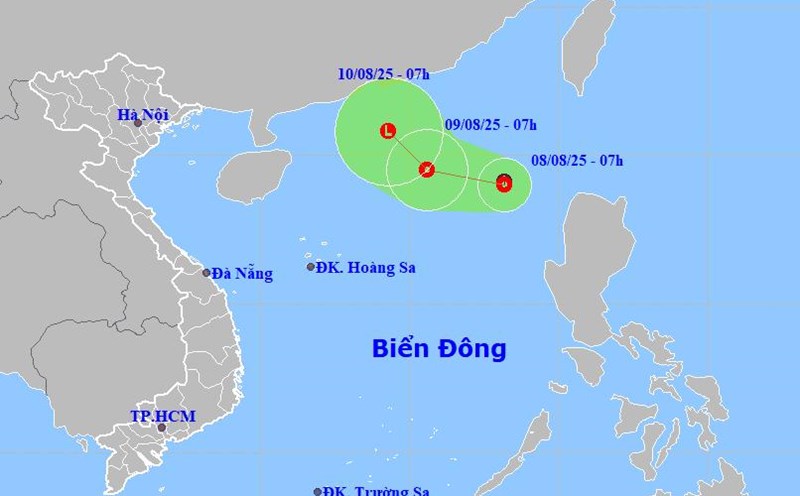
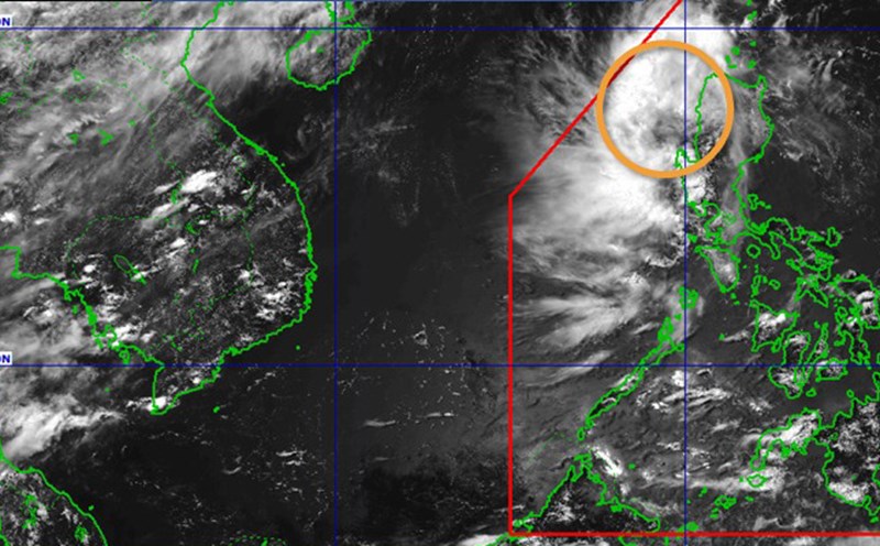
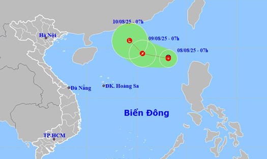
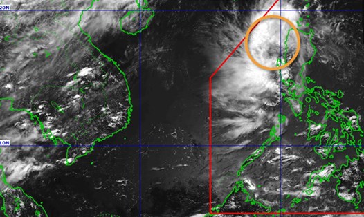
Meanwhile, the tropical depression is gathering in the East Sea.
According to the National Center for Hydro-Meteorological Forecasting, at 7:00 a.m. on August 8, the center of the tropical depression was at about 19.1 degrees North latitude; 117.0 degrees East longitude, in the eastern sea area of the North East Sea.
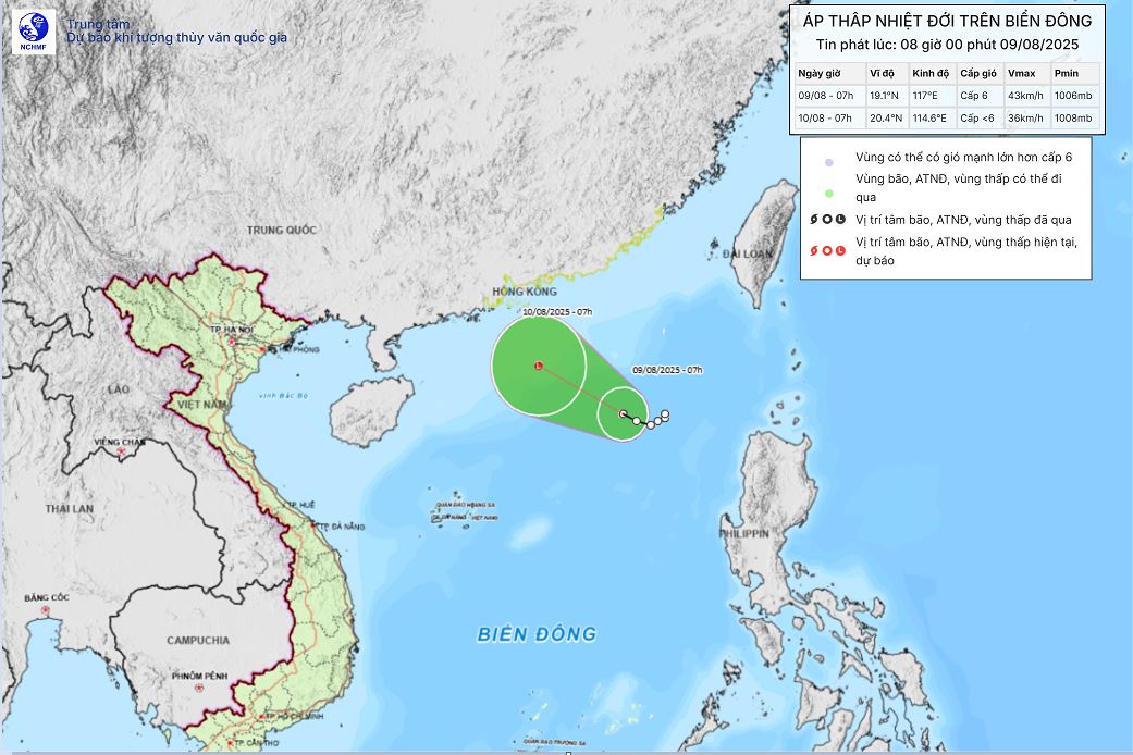
It is forecasted that by 7:00 a.m. on August 10, the tropical depression will gradually weaken into a low pressure area. Location at about 20.4 degrees North latitude -114.6 degrees East longitude; in the northern sea area of the North East Sea, about 500km North-Northeast of Hoang Sa archipelago
The strongest wind near the center of the tropical depression is level 6 (39-49km/h), gusting to level 8; moving slowly in the West direction, speed about 5km/h.
The eastern sea area of the North East Sea will have thunderstorms and strong winds of level 6, gusts of level 8, waves 2.0-3.0m high, rough seas.
Ship operating in the above-mentioned dangerous area are likely to be affected by thunderstorms, whirlwinds, strong winds, and large waves.
Tourists who are or are about to travel to Okinawa, Taiwan or the northern Philippines should closely monitor the weather forecast for the coming days.
Avoid outdoor activities at sea such as diving, kayaking, yachting... from now until after August 12 due to the possibility of strong winds and big waves.
Check the flight and ship schedule again, contact the transport company for updates if the weather is bad.
Always prepare a backup plan for your destination, especially for travel by sea or through the islands.