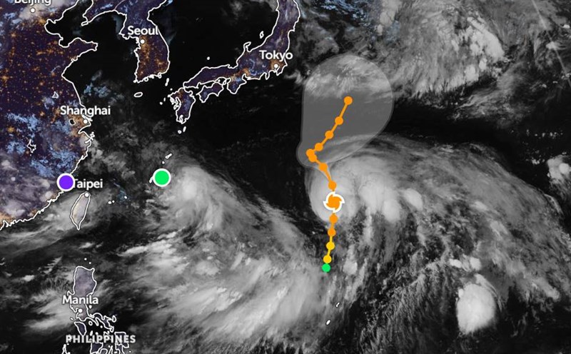
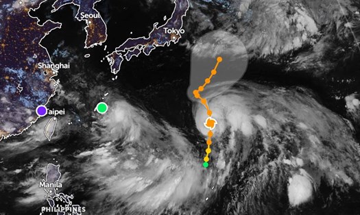
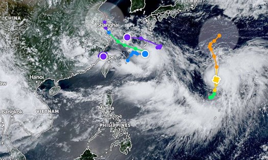
According to new storm information from the Joint Typhoon Warning Center (JTWC), Typhoon Co-may (Philippine name: Emong, Japanese name: Typhoon No. 8, Vietnam name: Typhoon No. 4, or Co May) is moving northwest at a speed of about 17 km/h.
The highest waves are currently recorded at about 4.9 meters.
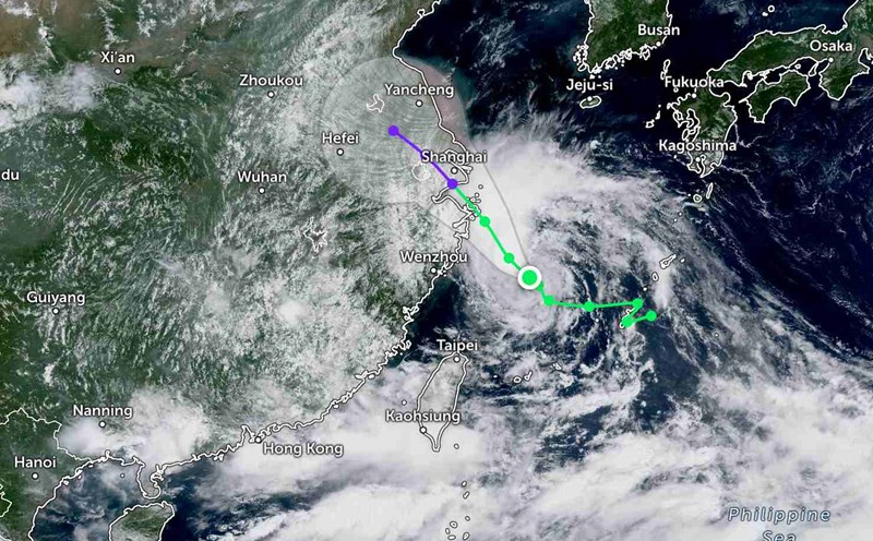
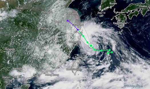
It is forecasted that in the next 24 hours, the storm will continue to move northwest, following the southwest edge of the strong subtropical high pressure covering the northern coastal area of central Japan.
The storm is expected to make landfall near Shanghai (China) after about 1 day, with the strongest wind reaching about 75 km/h.
After that, the storm will weaken rapidly as it moves deep into the mainland, gradually dissipating near Thai Ho Lake in the next 3 days.
The remnants of Co-may may continue to move slowly to the northwest, then possibly return to the Hoang Hai sea after about 4 days in the forecast cycle, but there are no signs of re-forming into a storm.
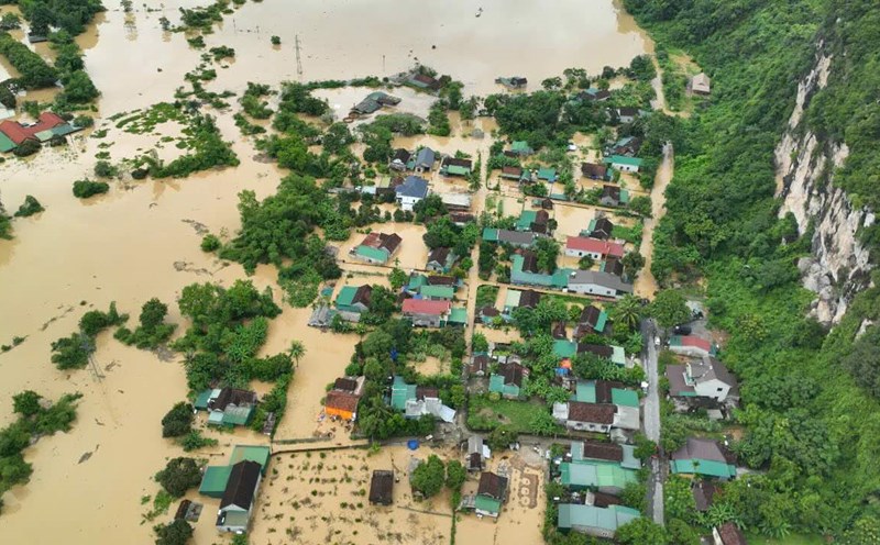
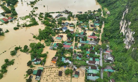
On July 29, China's Ministry of Emergency Management said it had activated a level IV emergency response level in three provincial-level localities including Jiangsu, Zhejiang and Shanghai City, due to the approaching impact of Typhoon Co-may.
According to the China Meteorological Administration, by the afternoon of July 29, Typhoon Co-may - the country's 8th typhoon this year - had reached Category 8 (equivalent to winds of about 62-74 km/h).
The National Meteorological Center issued a green alert (the lowest level in the 4-level system) on the same evening, predicting that from the night of July 29 to 30, the above localities will have heavy to very heavy rain with strong winds.
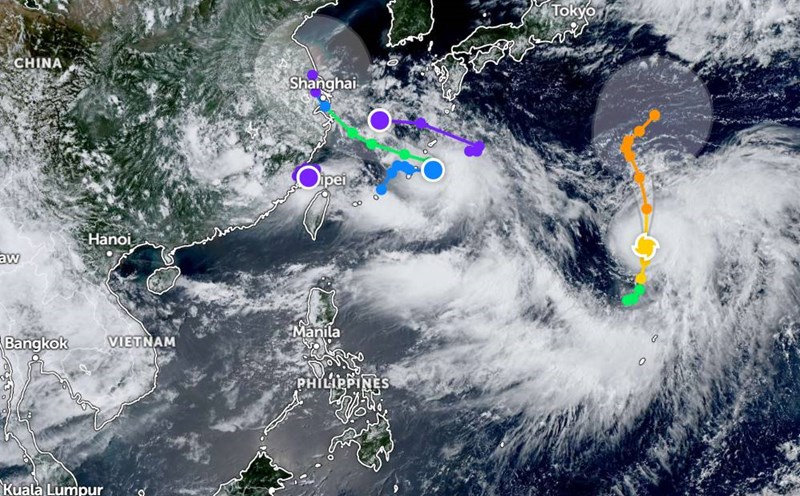
Typhoon Co-may does not directly affect Vietnam, however, tourists planning to travel to China (especially Shanghai and the eastern part of this country), Okinawa (Japan) ... need to closely monitor forecast information, can adjust their schedule to avoid heavy rain, big waves and strong winds.
Sea and air operations in East Asia may be interrupted in the next few days.
In Vietnam, although not directly affected, it is necessary to pay attention to the possibility of weather disturbances in the Northern region and the Gulf of Tonkin in the coming days, due to the far edge of the storm's circulation.
Continue to follow official updates from meteorological agencies and airlines if you plan to travel to affected areas.