According to the latest storm news from the National Center for Hydro-Meteorological Forecasting, in the past 3 hours, storm No. 7 Tapah has barely moved.
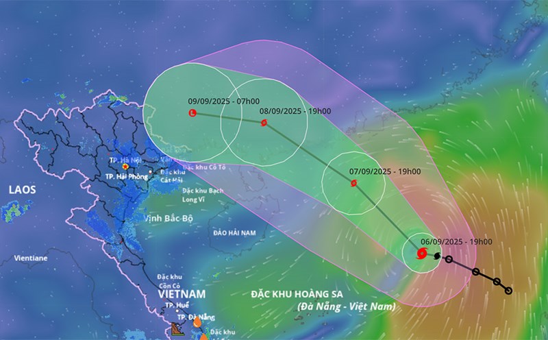
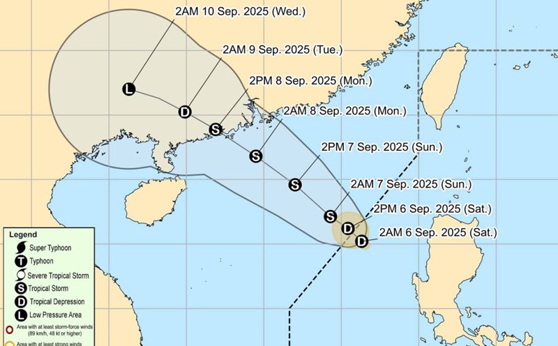
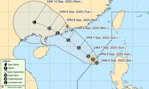
At 7:00 a.m. on September 7, the center of storm No. 7 Tapah was at about 18.7°N - 114.6°E, in the northern sea of the East Sea. The strongest wind near the storm center is level 9 (75-88 km/h), gusting to level 11.
It is forecasted that by 7:00 a.m. on September 8, the storm will be at 21.6°N - 112.3°E, in the sea south of Guangdong province (China), strong at level 10, gusting to level 13.
The natural disaster risk level is determined at level 3 for the North East Sea area.
At 7:00 a.m. on September 9, the storm center was at about 23.1°N - 109.6°E, on the mainland of Guangdong province (China), weakening to level 6, gusting to level 8. The natural disaster risk is level 3 for the northwestern sea of the East Sea.
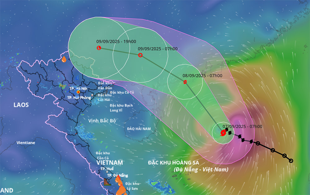
At 7:00 p.m. on September 9, the storm continued to move deep into the mainland, at about 23.5°N - 107.1°E, in Guangxi province (China), weakening below level 6 and dissipating into a low pressure area.
At sea, the North East Sea area has strong winds of level 7-8, near the storm center is level 9-10, gusting to level 13. Waves are 3.0-5.0 m high, very rough seas.
Ship operating in the danger zone are likely to be affected by thunderstorms, tornadoes, strong winds and large waves.
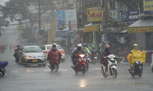
In the North and the area from Thanh Hoa to Ha Tinh, in the evening and night of September 8, there will be showers and thunderstorms in some places, after the weekend it will be sunny, some places will be hot.
It is forecasted that from the afternoon and night of September 9 to September 11, the circulation after storm No. 7 will have heavy rain over a wide area in the North, the most affected area is the midlands and mountainous areas of the Northeast.
Tourists should arrange flexible schedules, limit long trips in the late afternoon and prepare raincoats and anti-slip shoes.
People and tourists should pay attention to the risk of tornadoes, lightning, hail and strong gusts of wind, and should avoid taking shelter in deserted areas or under large trees when there is thunderstorms.