
According to the National Center for Hydro-Meteorological Forecasting, satellite image monitoring, lightning positioning data and weather radar images show that many convective clouds are continuing to develop in the western and northern areas of Hanoi.
Currently, thunderstorm areas appear in Ba Vi, Bat Bat, Co Do, Suoi Hai, Quang Oai, Yen Bai, Soc Son, Trung Gia, Vat Lai, Da Phuc... and tend to move from west to east, while continuing to expand.
Forecast for the next 3 hours, the western and northern areas of Hanoi will have showers and thunderstorms. After that, the rain area is likely to spread to the city center, affecting wards such as Tay Tuu, Xuan Phuong, Tay Mo, Duong Noi...
During thunderstorms, people need to be wary of tornadoes, lightning, localized heavy rain and strong gusts of wind, which can cause localized flooding on low-lying roads, affecting traffic during peak hours.
Flash flood and landslide warning in many mountainous provinces
Besides the developments of thunderstorms in Hanoi, the meteorological agency also issued a warning that in the next 6 hours, many mountainous and midland provinces of the Northern region are at high risk of flash floods on small rivers and streams; landslides on slopes and land subsidence in areas with weak geological foundations.
Localities within the warning zone include:
- Lai Chau, Dien Bien, Son La, Phu Tho, Lao Cai, Tuyen Quang, Thai Nguyen, Lang Son
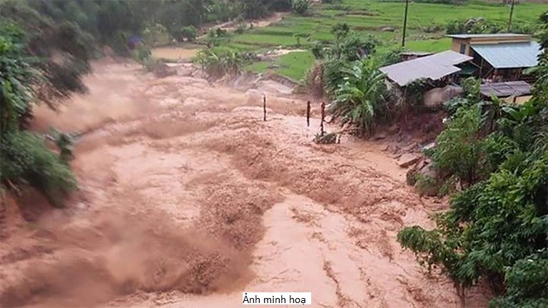
Flash floods and landslides are types of natural disasters that develop very quickly, often occurring after prolonged heavy rains or heavy rains in a short period of time.
This phenomenon can sweep away houses, crops, damage roads and bridges, cut off traffic and directly threaten people's lives, especially in areas along streams, ravines and steep slopes.
People living in risky areas are advised to regularly monitor weather developments, proactively evacuate when requested by local authorities, and not move through spillways, streams or areas with signs of landslides during heavy rain to ensure safety.


