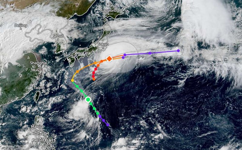
According to the latest weather forecast from the Philippine Atmospheric, Geophysical and Astronomical Services Administration, a tropical depression is moving outside the Philippine Area of Responsibility.
As of 8:00 a.m. this morning (local time), the center of the low pressure was at about 17.8 degrees North latitude - 137.8 degrees East longitude, 1,795 km east of Northern Luzon. The strongest wind near the center of the tropical depression reached 55 km/h, gusting up to 70 km/h.
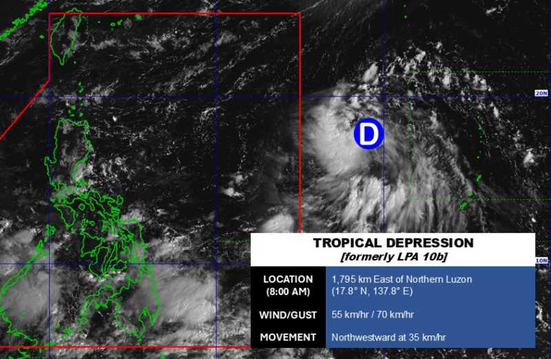
The tropical depression is moving rapidly northwest at a speed of 35 km/h. The tropical depression is forecast to continue to strengthen in the next 24 hours.
Because it is still quite far from the mainland, the tropical depression has not affected the mainland of the Philippines much.
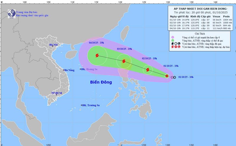
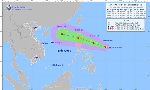
In the East Sea, according to the National Center for Hydro-Meteorological Forecasting, on the morning of October 8, the South East Sea (including the Truong Sa special zone) and the Gulf of Thailand had showers and thunderstorms.
Forecast for the day and night of October 8, the Central and South East Sea (including Truong Sa special zone), the sea area from Lam Dong to Ca Mau, Ca Mau to An Giang and the Gulf of Thailand will have scattered showers and thunderstorms.
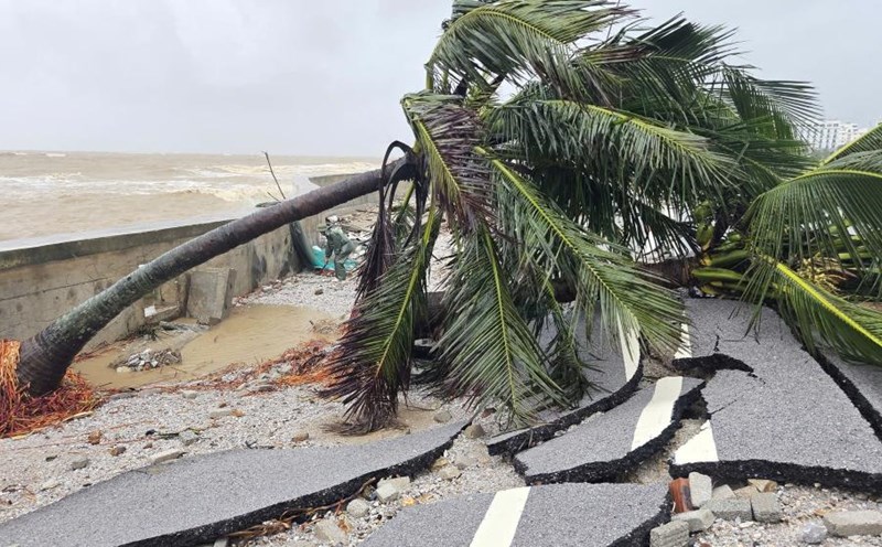
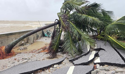
During thunderstorms, there is a possibility of tornadoes, strong gusts of wind of level 6-7, and waves over 2.0m high. All ships operating in the above areas are at risk of being affected by tornadoes and strong gusts of wind.
People and tourists planning to visit these areas should pay attention to weather forecasts. Follow local instructions to avoid large waves and strong gusts of wind that are dangerous.