According to the latest storm information from the Joint Typhoon Warning Center, over the past 6 hours, Typhoon Grant has been moving west-northwest at a speed of about 11 km/h. The affected area recorded maximum waves of about 4.9 m, posing a potential risk to ships and tourism activities at sea.
The strongest wind near the center of the storm is about 75 km/h, gusting to 100 km/h.
The storm is likely to reach typhoon level in the next 48 hours, with maximum winds of 120 km/h.
The Australian Bureau of Meteorology (BOM) forecasts that grant will pass near the Cocos Islands (Keeling) late on the night of December 24 or early on Christmas Day, December 25 (local time).
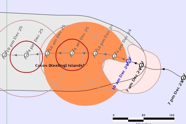
Grant is forecast to continue moving northwest for the next 12 hours, then the trajectory will gradually turn west. This movement trend was maintained for the next 60 hours.
After that, Grant is forecast to change direction to the West Southwest at a faster pace in the following days.
Grant is expected to gradually strengthen over the next 36 hours, with maximum sustained winds of about 120 km/h. Atmospheric conditions during this period are relatively favorable, with low wind shear and a stable storm structure.
However, dry air then began to flow, causing Grant to slow down and weaken over the next 4 days.
After this period, some forecast models show that storms are likely to strengthen again when environmental conditions become more favorable, but the level and timing of the difference remain between scenarios.
Forecast models are now generally consistent on the trajectory of the storm over the next five days, with high reliability in its path. However, the intensity of storms in the short term is still uncertain, due to signs showing the possibility of rapid strengthening in a short time.
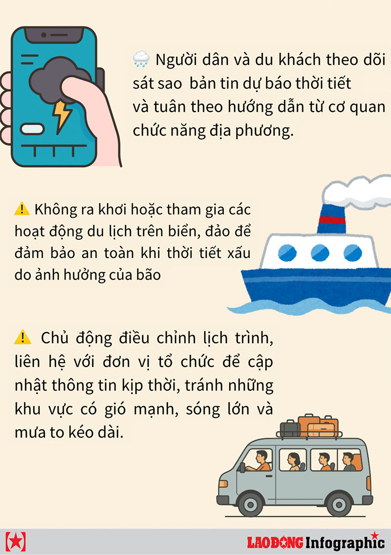
For tourists staying, traveling or planning to visit the Cocos Islands and neighboring waters east of the Indian Ocean, it is necessary to closely monitor updated weather reports, limit activities at sea and proactively adjust their schedules to ensure safety.