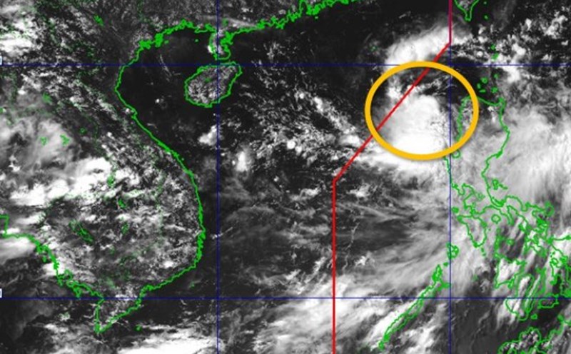
According to the latest storm news, the National Center for Hydro-Meteorological Forecasting said that on the evening of September 5, a tropical depression formed in the northeastern sea of the East Sea with strong winds of level 6 (49 km/h), gusting to level 8. The system is moving west-northwest at a speed of about 10 km/h.
The latest storm forecast shows that by 7:00 p.m. on September 6, the tropical depression is likely to strengthen into storm No. 7, about 530 km east-northeast of the Hoang Sa archipelago. At this time, the wind near the storm center will increase to level 8, gusting to level 10, continuing to the northwest and may strengthen. By 7:00 p.m. on September 7, the storm will be in the northern East Sea, with the strongest wind reaching level 9, gusting to level 11.
According to the Hong Kong Meteorological Station (China), this tropical cyclone may reach a peak of about 105 km/h on September 7, then move into mainland China. The circulation after the storm is likely to cause rain in the northern mountainous provinces of Vietnam.
According to the Philippine Atmospheric, Geophysical and Astronomical Services Administration, the tropical depression named Lannie is forecast to move northwestward until September 8, with the potential to strengthen into a storm on the night of September 6 or the morning of September 7.
The Joint Typhoon Warning Agency (JTWC) said that this tropical depression has a favorable environment: low wind shear, sea temperature of about 30 degrees Celsius, and is likely to strengthen into a storm in the next 24 hours and move to China.
Due to the influence of the tropical depression and storm, the northeastern East Sea will have strong winds of level 6, then increase to level 7-8, gusting to level 10; waves 2-4 m high. Ships operating in the danger zone need to urgently find safe shelter.
On the afternoon of September 5, the Ministry of Agriculture and Rural Development and the Ministry of Natural Resources and Environment requested coastal localities from Quang Ninh to Quang Ngai to closely monitor the development of the tropical depression, proactively warn ships and prepare rescue forces in case of emergency situations.
According to statistics, since the beginning of the year, the East Sea has recorded 6 storms. It is forecasted that from now until the end of the year, there will be 5-7 more storms or tropical depressions, of which 2-3 are likely to directly affect the mainland of Vietnam, concentrated in the Central and Southern regions.
Tourists planning to travel by sea or to coastal provinces should regularly update storm forecasts, limit going to sea during strong storms and follow safety instructions from local authorities.