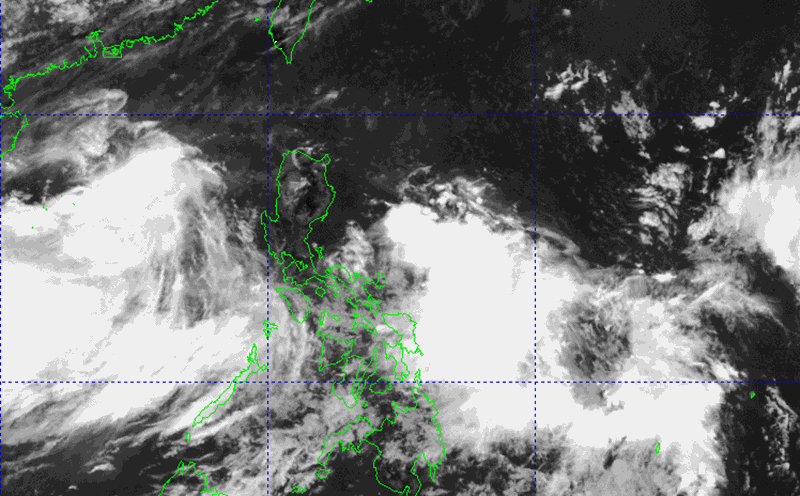
According to the National Center for Hydro-Meteorological Forecasting, on the afternoon of June 9, there was an axis in the low pressure trough at about 15-18 degrees North latitude connecting with a low pressure area in the North East Sea. At 1:00 p.m. on June 9, the low pressure was at about 16.9-17.9 degrees North latitude; 115.5-116.5 degrees East longitude.
It is forecasted that in the next 24 hours, the low pressure area will move slowly in the West direction and is likely to strengthen into a tropical depression.
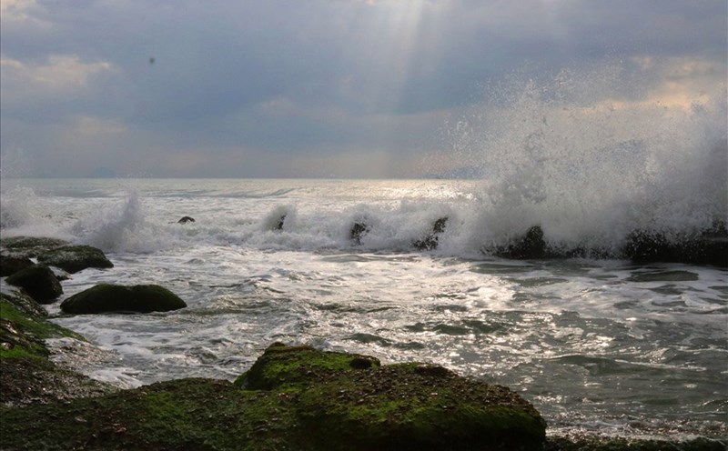
On the night of June 9 to June 10, the sea area from Binh Thuan to Ca Mau, the southern sea area of the Central East Sea, the southern East Sea area (including the Truong Sa archipelago) will have strong southwest winds of level 5, sometimes level 6, gusting to level 7-8, rough seas.
From June 10, the southwest wind will be strong at level 6, gusting to level 7-8, rough seas. Waves are 1.5-3.0m high.
In addition, the North East Sea area (including the Hoang Sa archipelago), the Central and South East Sea area (including the Truong Sa archipelago), the sea area from Binh Dinh to Ca Mau, Ca Mau to Kien Giang and the Gulf of Thailand will have showers and thunderstorms.
During thunderstorms, there is a possibility of tornadoes, strong gusts of wind of level 6-7 and waves over 2.0m high. Risk level of natural disasters due to strong winds at sea: Level 1.
Due to the influence of the low pressure, all ships operating in the above areas are at high risk of being affected by tornadoes, strong gusts of wind and big waves.
People and tourists in the coastal areas from Binh Dinh to Ca Mau, Ca Mau to Kien Giang and the Gulf of Thailand in the next few days should pay attention to weather forecasts and follow the instructions of local authorities to ensure safety.