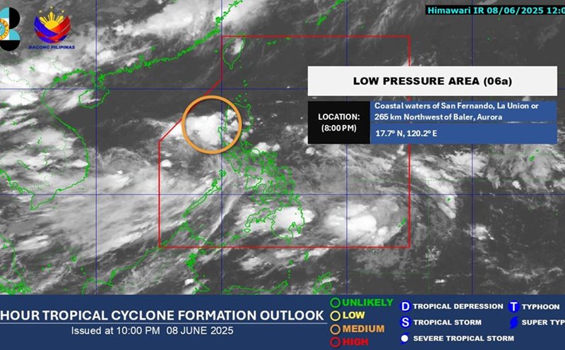
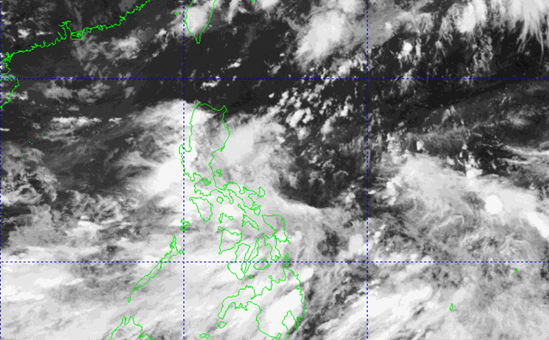
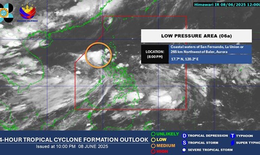
According to the forecast of low pressure in the East Sea of the National Center for Hydro-Meteorological Forecasting, currently on the low pressure trough there is an axis at about 15-18 degrees North latitude connecting with a low pressure area in the North East Sea.
At 7:00 a.m. on June 9, it was located at about 17.0-18.0 degrees North latitude; 117.2-118.2 degrees East longitude.
It is forecasted that in the next 24 hours, the low pressure area will move slowly in the West direction and is likely to strengthen into a tropical depression.
Day and night on September 6, the North East Sea area (including the Hoang Sa archipelago), the Central and South East Sea area (including the Truong Sa archipelago), the sea area from Binh Dinh to Ca Mau, Ca Mau to Kien Giang and the Gulf of Thailand will have showers and thunderstorms.
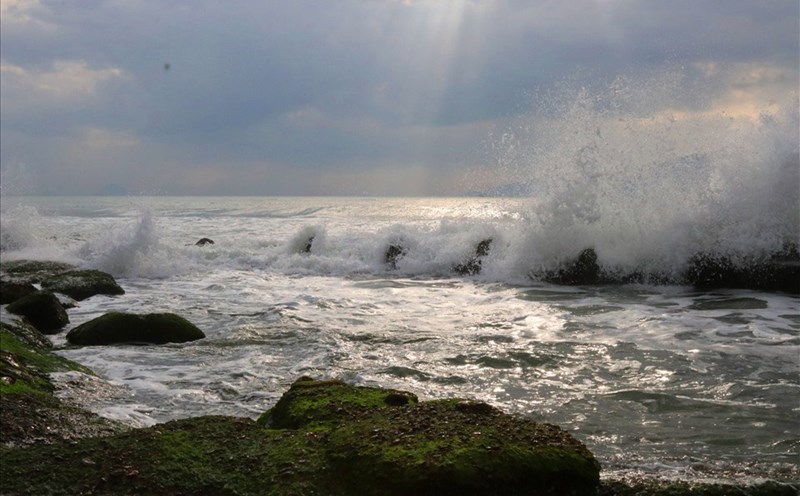
During thunderstorms, there is a possibility of tornadoes, strong gusts of wind of level 6-7 and waves over 2.0m high. In addition, the sea area from Binh Thuan to Ca Mau, the sea area south of the Central East Sea, the South East Sea (including the Truong Sa archipelago) will have strong southwest winds of level 5, sometimes level 6, gusting to level 7-8, rough seas. Waves are 1.5-3m high.
The meteorological agency warns of natural disaster risk level due to strong winds at sea: Level 1.
All ships operating in the above areas are at high risk of being affected by tornadoes, strong gusts of wind and big waves.
Tourists planning to travel, relax or travel to coastal and island areas from Binh Thuan to Kien Giang, Ca Mau during this time should pay special attention to closely monitoring weather forecasts, especially rough sea warnings.
Limit travel by boat to the island or participate in activities at sea such as diving, SUP rowing, high-speed boats, canoes, etc. Follow the instructions of authorities, port management boards, and beaches.
Prepare plans to change your schedule or postpone travel time when weather conditions are not safe.