According to new weather information from the Northern Hydrometeorological Station, on July 22, Typhoon Wipha will make landfall, causing heavy rain, strong gusts of wind to level 4 - 5, gusting to level 6 in the northern and western areas of Hanoi.
The southern and central areas of the city will have winds gradually increasing from level 5, sometimes level 6 and gusting to level 7 - 8.
Residents and tourists are advised to stay off the streets and seek safe shelter for the next few hours as Typhoon Wipha prepares to make landfall.
It is forecasted that at 10:00 this morning (July 22), storm No. 3 will make landfall in the area from Hai Phong to Ninh Binh.
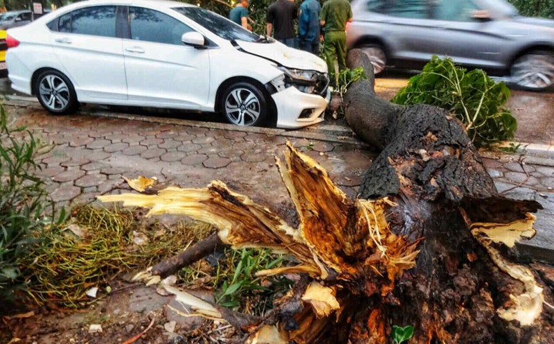
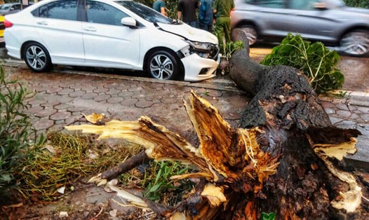
Warning of dangerous weather due to the impact of storm No. 3 Wipha includes strong winds that can break trees, damage houses, traffic works and infrastructure, endangering human life.
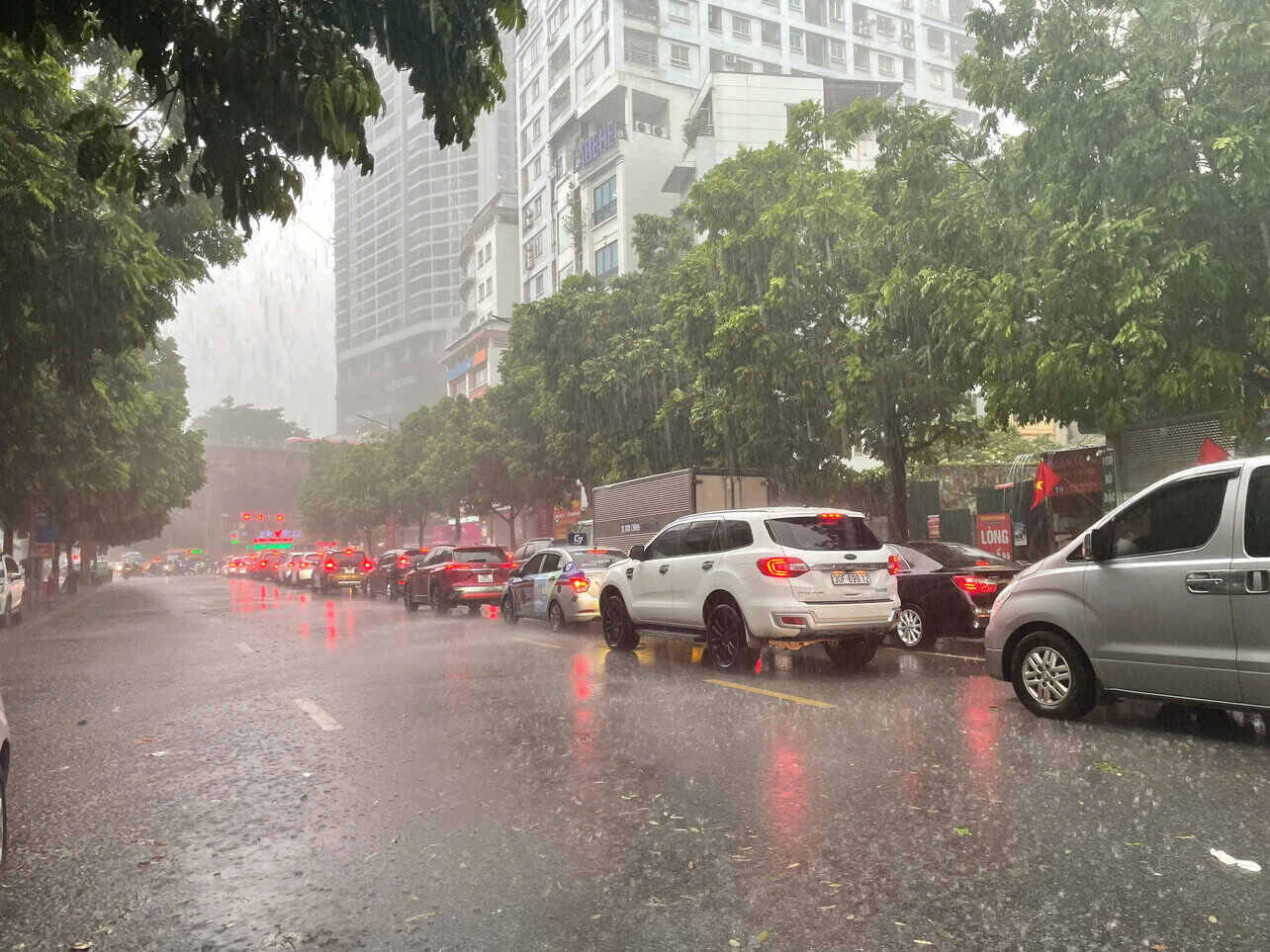
In particular, the western and southern areas of Hanoi are warned of moderate rain, heavy rain with thunderstorms. The common rainfall is about 100 - 200mm, in some places over 300mm.
People and tourists should also pay special attention to protect their safety if they are on the streets and encounter heavy rain. Flooding on the road, traffic jams, fallen trees and heavy rain can reduce visibility, causing slippery roads and traffic accidents.
In addition, the northern mountainous areas are also warned of landslides and natural disaster risks due to heavy rain at level 1.