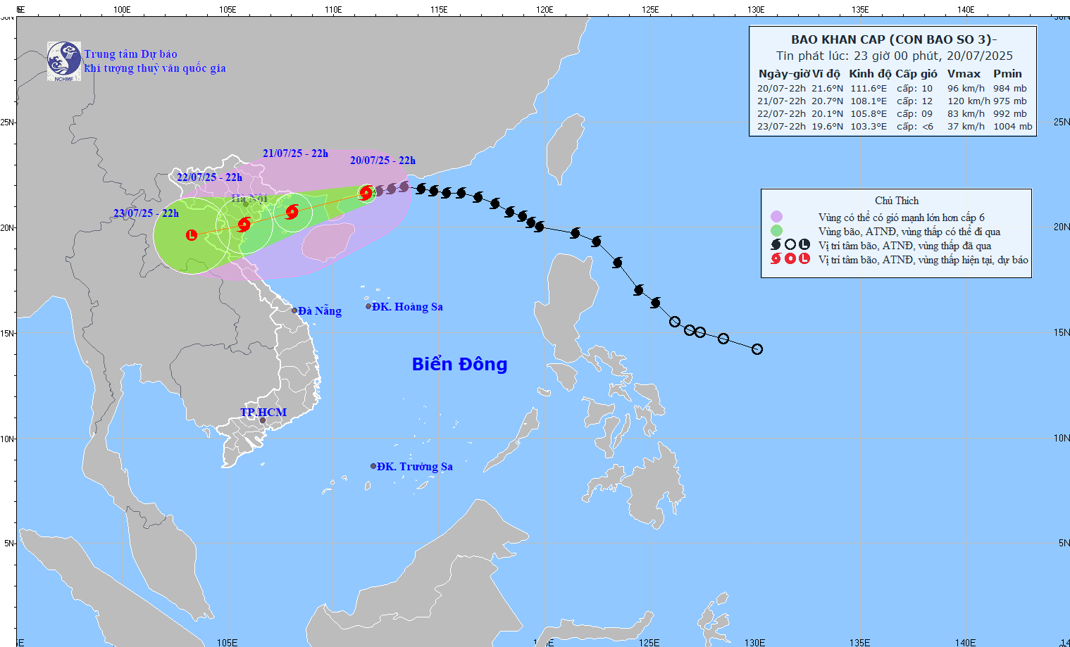
According to the storm forecast from the National Center for Hydro-Meteorological Forecasting, on July 21, storm No. 3 Wipha will have a strong impact in the North of the Gulf of Tonkin, at a very high level (11-12) with gusts of wind up to level 15.
Weather forecast for July 22, storm No. 3 will make landfall on the North Central Coast to the North, gradually weakening but still causing strong winds and heavy rain.
On July 23, storm No. 3 is forecast to continue to weaken significantly, turning into a low pressure area when it moves deep into the Upper Laos mainland, but there will still be scattered rain and winds in the affected area near the shore.
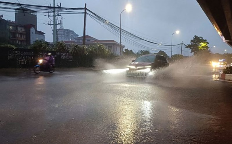
Due to the impact of storm No. 3, Hanoi weather will have heavy thunderstorms.
On July 21, Hanoi will have continuous rain, sometimes heavy and lasting all day, with high possibility of thunderstorms and lightning, near-satitude humidity; the temperature will decrease slightly, about 30°C during the day, about 26°C at night. AccuWeather's forecast bulletin said there is a 100% chance of rain all day, strong winds and thunderstorms.
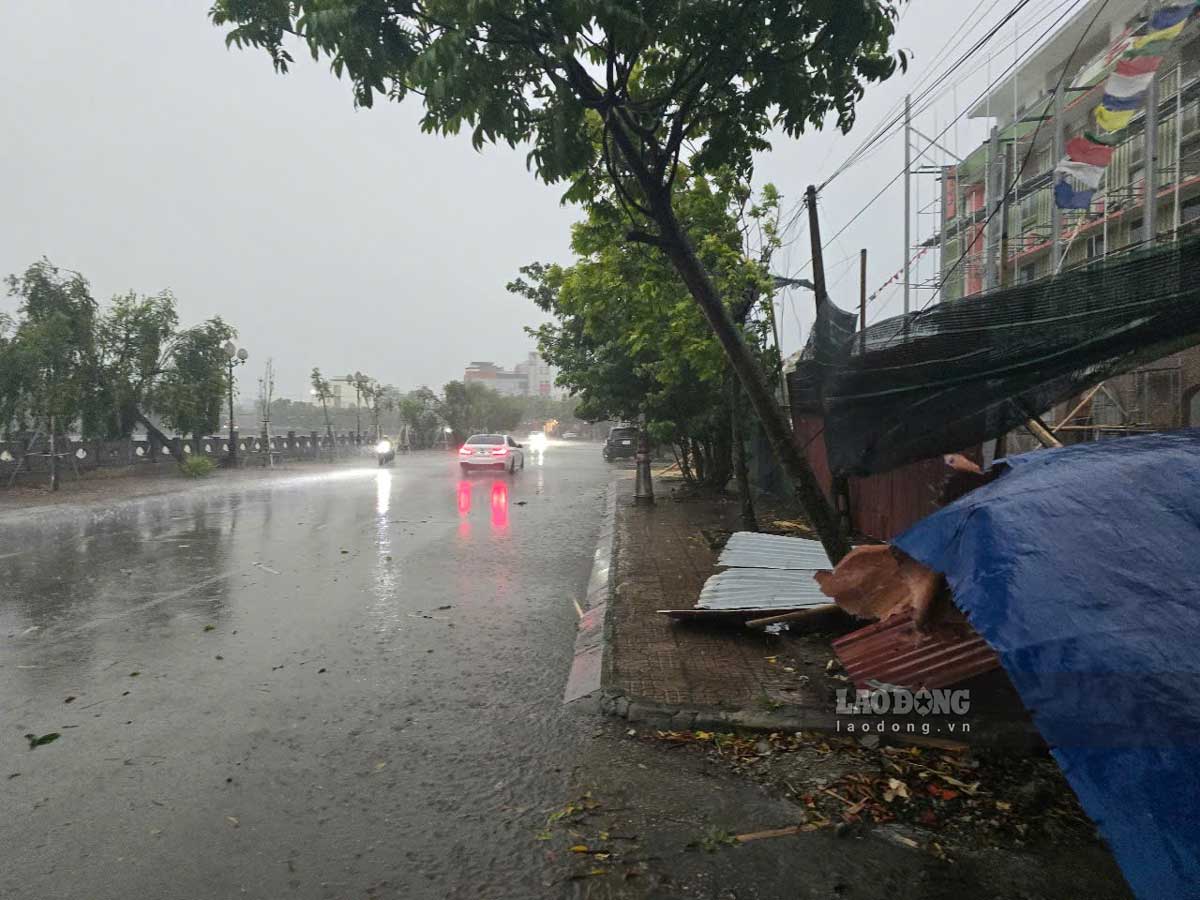
Hanoi weather forecast for July 22 continues to be affected by storms, heavy rain, thunderstorms, strong gusts of wind and the risk of flooding in low-lying areas. Daytime temperature is about 30-31°C, nighttime 26-27°C, probability of rain is 100% high.
According to Weather, the total daily rainfall in Hanoi for the next 3 days is estimated at about 55-120mm, concentrated in the late afternoon and night, with prolonged rain with thunderstorms, which can cause local flooding. People and tourists should be on guard against strong gusts of wind, especially in the evening of January 21 and 22.
Hanoi weather forecast for July 23 has showers and heavy rain in the afternoon, with a high probability of rain of about 90%. The rainfall is expected to continue throughout the afternoon, possibly up to several dozen mm. This was accompanied by light thunderstorms, with winds of level 6-7, sometimes strong gusts in the evening.
The total rainfall in the northern area and the Red River Delta is forecast to reach 100-200 mm, in some places over 300 mm; in particular, strong thunderstorms can cause extremely heavy rain within 3 hours, up to 150 mm/3 hours when the storm makes landfall.
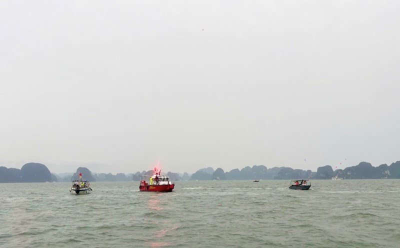
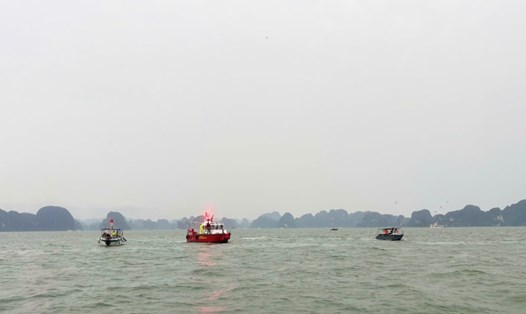
According to the National Center for Hydro-Meteorological Forecasting, the 5 localities expected to be most affected by storm No. 3 Wipha are Quang Ninh, Hai Phong, coastal areas of Hung Yen, Ninh Binh and Thanh Hoa.
Tourists are advised to limit their outdoor travel during heavy rains to avoid the risk of fallen trees, flooding and traffic insecurity.
Prioritize visiting indoor destinations such as museums, shopping malls, exhibition areas or safe cultural spaces, while avoiding travel to mountainous areas due to the risk of flash floods and landslides.
Those who plan to fly during this period should closely monitor information from airlines and Noi Bai airport to promptly adjust their schedules.
In addition, visitors should bring raincoats, spare chargers and necessary items to cope with unexpected extreme weather situations caused by storm No. 3 Wipha.